Savski Venac, Municipality on the Sava River bank in Belgrade, Serbia.
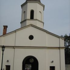
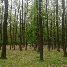
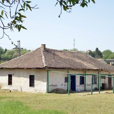
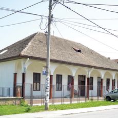
Savski Venac is a municipality on the left bank of the Sava River, stretching from central Belgrade to the Banjica area and covering several distinct neighborhoods. The area is characterized by wide, tree-lined streets where embassies, parks, and various public buildings are located throughout.
The municipality was formed in 1957 from the merger of three areas: Topčidersko Brdo, Western Vračar, and the original Savski Venac territory. This consolidation created a new administrative unit that brought together different parts of Belgrade.
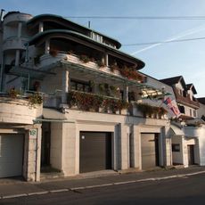
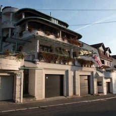
The name refers to the location along the Sava riverbank, where the Diplomatic Quarter contains embassies and official residences that define everyday life in the area. Walking through these streets, you notice how older residential buildings sit alongside newer structures, creating a blend of architectural styles.
The municipality is easily accessible by public transportation with multiple bus routes and tram lines connecting key points. The area has a mix of paved paths along the Sava and regular streets, making it easy to get around on foot or by bicycle.
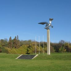
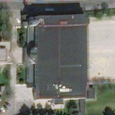
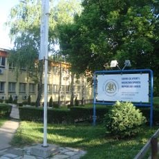
The Sportsko Selo site was once an abandoned football field that transformed into a modern sports complex with multiple recreational facilities for community use. Today, this location serves as a popular gathering spot for sports and leisure activities in the area.
The community of curious travelers
AroundUs brings together thousands of curated places, local tips, and hidden gems, enriched daily by 60,000 contributors worldwide.