
Kamena Gora, village in Zlatibor District, Serbia
Location: Prijepolje Municipality
Elevation above the sea: 1,293 m
Website: http://www.kamenagora.com/
Website: http://kamenagora.com
GPS coordinates: 43.28333,19.55000
Latest update: March 7, 2025 20:25
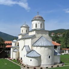
Mileševa monastery
14.9 km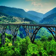
Đurđevića Tara Bridge
25.4 km
White Angel
16.2 km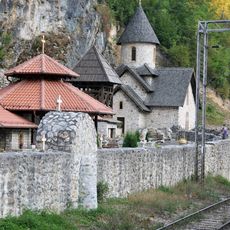
Kumanica Monastery
23.7 km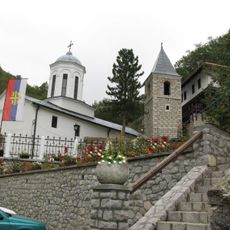
Holy Trinity monastery
18.3 km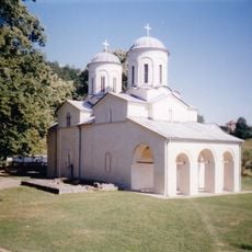
Banja Monastery
28.8 km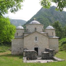
Davidovica Monastery
15.9 km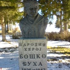
Memorial complex Boško Buha
8.7 km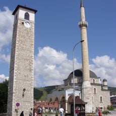
Husein-paša's Mosque
17.5 km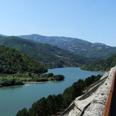
Potpeć Lake
25.9 km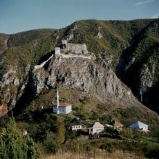
Mileševac Fortress
17 km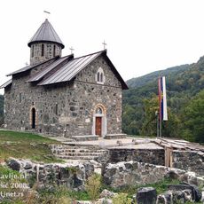
Mažići Monastery
24.7 km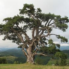
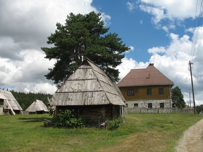
Kamena Gora
3.3 km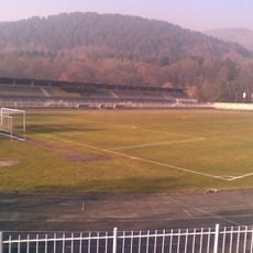
Gradski stadion
17.6 km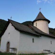
Dovolja Monastery
23.2 km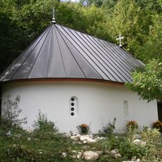
Janja Monastery
28.5 km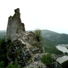
Kovin Fortress
20.3 km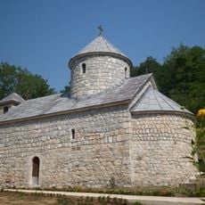
Đurđevića Tara Monastery
24.8 km
Heritage Museum Pljevlja
17.6 km
Church of the Holy Trinity in Bistrica
24.5 km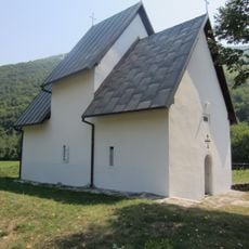
Church of St. Michael the Archangel in Poblaće
29.2 km
Library „Vuk Karadžić“ Prijepolje
14.4 km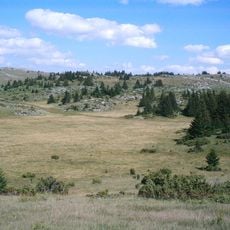
Outstanding Natural Landscape "Ozren – Jadovnik"
19.1 km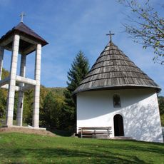
Church of the Intercession of the Virgin in Hercegovačka Goleša
27.7 km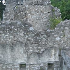
Partizanska bolnica u Prijepolju
11.8 km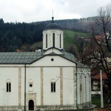
Église de la Sainte-Trinité de Nova Varoš
28.5 km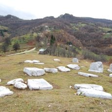
Grčko groblje, Hrta
6.3 km
Crni Vrh (tumoy sa bukid sa Serbya, lat 43,33, long 19,51)
5.6 kmReviews
Visited this place? Tap the stars to rate it and share your experience / photos with the community! Try now! You can cancel it anytime.
Discover hidden gems everywhere you go!
From secret cafés to breathtaking viewpoints, skip the crowded tourist spots and find places that match your style. Our app makes it easy with voice search, smart filtering, route optimization, and insider tips from travelers worldwide. Download now for the complete mobile experience.

A unique approach to discovering new places❞
— Le Figaro
All the places worth exploring❞
— France Info
A tailor-made excursion in just a few clicks❞
— 20 Minutes