
Manđukin Vrh, Berggipfel in Serbien
Location: Serbia
Elevation above the sea: 499 m
GPS coordinates: 44.61194,21.98306
Latest update: May 8, 2025 09:10

Tuman monastery
27 km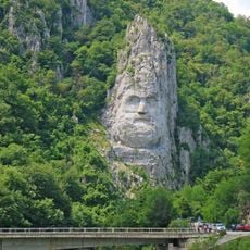
Statue of Decebalus
24.6 km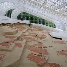
Lepenski Vir
7 km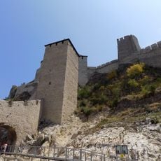
Golubac
24.7 km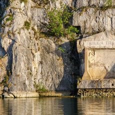
Tabula Traiana
26.2 km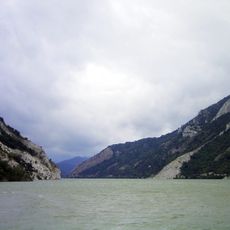
Lake Đerdap
20.7 km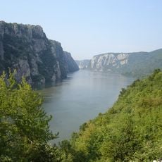
Iron Gates Natural Park
10.2 km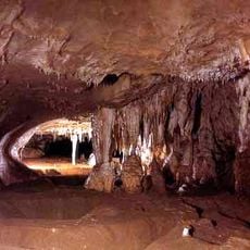
Rajko's Cave
19.1 km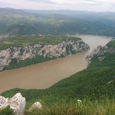
Miroč
23.5 km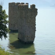
Tricule Fortress
19.4 km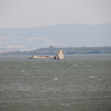
Babakaj
25.2 km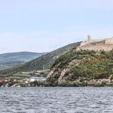
Ladislaus Fortress
24.9 km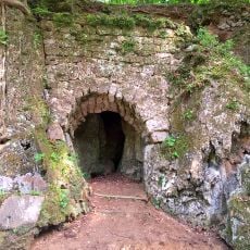
Споменик природе Бигрена акумулација код манастира Тумане
27 km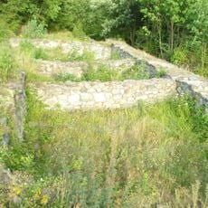
Kraku Lu Jordan
18.3 km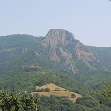
Trescovat
7.9 km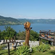
Eko Kapetan mišin breg
18.3 km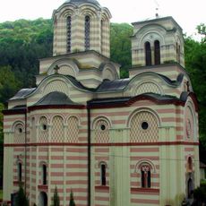
Храм Архангела Гавриила (Туман)
27 km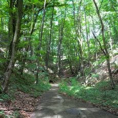
Strogi rezervat prirode Mustafa
27.5 km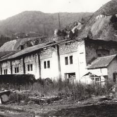
Vieille fonderie à Majdanpek
27.8 km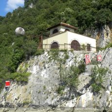
Station de signalisation Pena dans la gorge de Đerdap
23.1 km
Čuka Gorunje
9.2 km
U Medvěda
15.8 km
Kulmea del Bos
17.2 km
Kulma Sedevi
14.1 km
Tilva
26.7 km
Tatarski Vis
8.3 km
Kraku Lung
15.9 km
Srpska Čuka
22.4 kmReviews
Visited this place? Tap the stars to rate it and share your experience / photos with the community! Try now! You can cancel it anytime.
Discover hidden gems everywhere you go!
From secret cafés to breathtaking viewpoints, skip the crowded tourist spots and find places that match your style. Our app makes it easy with voice search, smart filtering, route optimization, and insider tips from travelers worldwide. Download now for the complete mobile experience.

A unique approach to discovering new places❞
— Le Figaro
All the places worth exploring❞
— France Info
A tailor-made excursion in just a few clicks❞
— 20 Minutes