Enable Location

We need your location to show you interesting places around you

Discover nearby places

Find interesting locations and hidden gems around you

Precise directions

Get accurate directions and distances to places

Your location is never shared with other users. It's only used when you tap the location button.

Jewish Autonomous Oblast

Log in to your account

Start exploring — it's free

Trusted by 62,375 travelers worldwide

Continue with Google
Continue with Apple
or

We will send you a code to connect

By continuing, you accept our Terms and Conditions and our Privacy Policy

Check your inbox

We've sent a pincode in your inbox. Please enter the code below.

Jewish Autonomous Oblast, Administrative division in Far Eastern Russia.

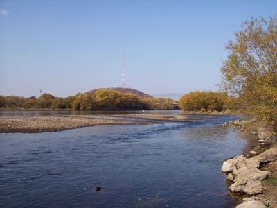
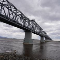
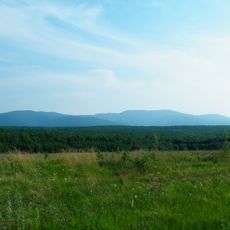
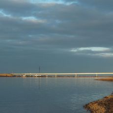
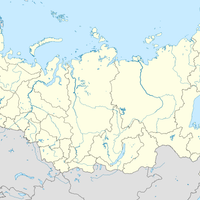
The territory is an administrative region in the Russian Far East that stretches between the Bureya Range and Lesser Khingan across roughly 36,000 square kilometers (about 14,000 square miles). The Amur forms the natural southern boundary, separating the area from Heilongjiang province in China across the water.

Soviet authorities created the region in 1934 as a planned homeland for Jews from across the country. By the late 1940s, around 46,000 Jews lived here, though the number dropped sharply in later decades through emigration.

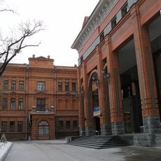
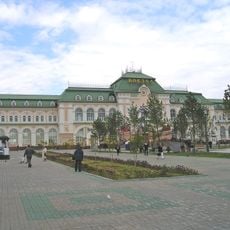
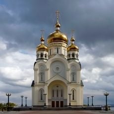
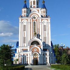
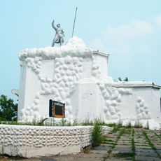
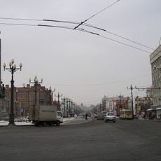
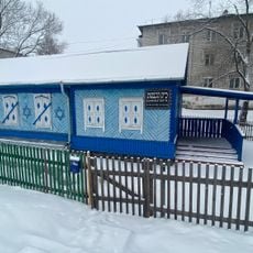
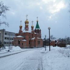
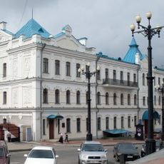
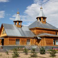
Birobidzhan displays its past through bilingual street signs in Russian and Yiddish, with an active synagogue serving the small community that remains. Local markets and cafés reflect a blend of Russian and Far Eastern influences shaped by proximity to China and trade connections across the Amur.

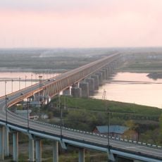
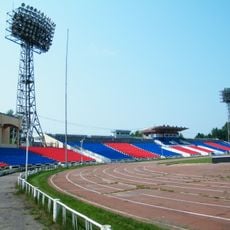
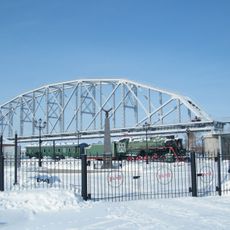
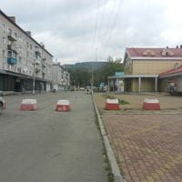
The Trans-Siberian Railway passes through the area, linking it to larger cities to the west and east. Travelers find lodging mainly in Birobidzhan, while rural parts remain thinly populated and harder to reach.

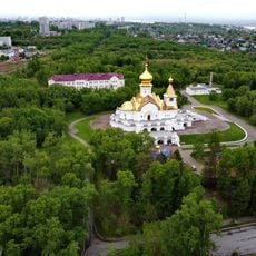
Besides Israel, this is the only place in the world with officially recognized status as a homeland for Jews, though fewer than 2,000 remain today. A small museum in Birobidzhan displays documents and photographs from the founding years and early settlement period.

The community of curious travelers

AroundUs brings together thousands of curated places, local tips, and hidden gems, enriched daily by 60,000 contributors worldwide.

Start exploring
Location
Inception
May 7, 1934
Capital city
Birobidzhan
Reference
RU-YEV
Part of
Far Eastern Federal District
Shares border with
Amur Oblast, Khabarovsk Krai, Heilongjiang
Website
GPS coordinates
48.47861,132.13917
Latest update
December 14, 2025 22:42
Around this place
Khabarovsk Bridge
Russian Federation

Khabarovsk Bridge

211.1 km
Tongjiang-Nizhneleninskoye railway bridge
China

Tongjiang-Nizhneleninskoye railway bridge

71 km
Russian Federation

Monument of Muravyov-Amursky, Khabarovsk

214.8 km
Archaeological Museum
Russian Federation

Archaeological Museum

215.1 km
Bolshekhekhtsirsky Nature Reserve
Russian Federation

Bolshekhekhtsirsky Nature Reserve

203.5 km
Khabarovsk-1
Russian Federation

Khabarovsk-1

216.4 km
Bastak Nature Reserve
Russian Federation

Bastak Nature Reserve

88.7 km
Lenin Stadium
Russian Federation

Lenin Stadium

214.5 km
Transfiguration Cathedral, Khabarovsk
Russian Federation

Transfiguration Cathedral, Khabarovsk

216.1 km
Far Eastern Military Museum
Russian Federation

Far Eastern Military Museum

215 km
Russian Federation

Monument to City of Military Glory

215.3 km
Dormition Cathedral, Khabarovsk
Russian Federation

Dormition Cathedral, Khabarovsk

215.3 km
Volochaevsky Memorial
Russian Federation

Volochaevsky Memorial

174.2 km
Мост через Амурскую протоку
Russian Federation

Мост через Амурскую протоку

201.4 km
Russian Federation

Birobidzhan Synagogue

67.8 km
Russian Federation

Алыҫ Көнсығышта Граждандар һуғышы геройҙары һәйкәле

215.3 km
Музей Амурского моста
Russian Federation

Музей Амурского моста

212 km
Muravyov-Amursky Street
Russian Federation

Muravyov-Amursky Street

215.7 km
Beit T'shuva
Russian Federation

Beit T'shuva

68 km
Saint Innocent Church, Khabarovsk
Russian Federation

Saint Innocent Church, Khabarovsk

214.8 km
Glory Square, Khabarovsk
Russian Federation

Glory Square, Khabarovsk

216 km
Russian Federation

Панорама «Волочаевская битва»

214.9 km
Saint Seraphim of Sarov church in Khabarovsk
Russian Federation

Saint Seraphim of Sarov church in Khabarovsk

214.4 km
Far Eastern Art Museum
Russian Federation

Far Eastern Art Museum

215 km
Хабаровский планетарий
Russian Federation

Хабаровский планетарий

214.8 km
Russian Federation

Музей истории пенсий

67.3 km
Victory Square
Russian Federation

Victory Square

68 km
Park Severny, Khabarovsk
Russian Federation

Park Severny, Khabarovsk

214.5 km
Show the full map
« Jewish Autonomous Oblast - Administrative division in Far Eastern Russia » is provided by Around Us (aroundus.com). Images and texts are derived from Wikimedia project under a Creative Commons license. You are allowed to copy, distribute, and modify copies of this page, under the conditions set by the license, as long as this note is clearly visible.

Discover hidden gems everywhere you go!

From secret cafés to breathtaking viewpoints, skip the crowded tourist spots and find places that match your style. Our app makes it easy with voice search, smart filtering, route optimization, and insider tips from travelers worldwide. Download now for the complete mobile experience.

Around Us App Screenshot

A unique approach to discovering new places

Le Figaro

All the places worth exploring

France Info

A tailor-made excursion in just a few clicks

20 Minutes

Around Us
Travel Guide & Maps
Download

Send to your phone

QR Code
1

Open the camera app on your mobile.

2

Point at the QR code with your camera. A notification will appear.

3

Tap the notification to open the link.