Enable Location

We need your location to show you interesting places around you

Discover nearby places

Find interesting locations and hidden gems around you

Precise directions

Get accurate directions and distances to places

Your location is never shared with other users. It's only used when you tap the location button.

Georgiyevsk

Log in to your account

Start exploring — it's free

Trusted by 64,007 travelers worldwide

Continue with Google
Continue with Apple
or

We will send you a code to connect

By continuing, you accept our Terms and Conditions and our Privacy Policy

Check your inbox

We've sent a pincode in your inbox. Please enter the code below.

Georgiyevsk
Discussion Reviews 3 Photos
60.5k Popularity

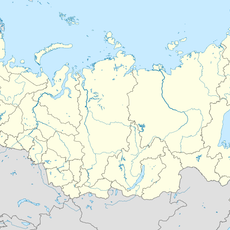
Georgiyevsk, Administrative center in Stavropol Krai, Russia

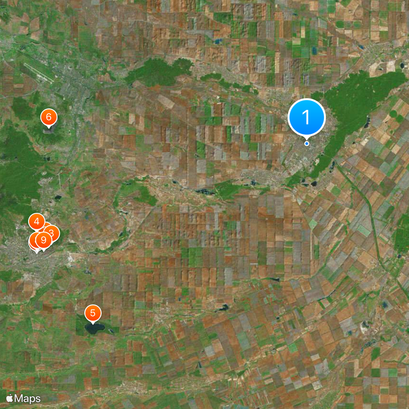
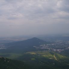
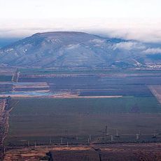
Georgiyevsk sits along the Podkumok River in the foothills of the northern Caucasus, about two hundred kilometers southeast of Stavropol. The town has grown along the river valley, with low tablelands rising gently on either side in a dry steppe zone.

Saint George fortress was built in 1777 as part of a defense line securing the southern border of the Russian Empire from the Azov to the Mozdok region. Within a decade the settlement gained town status and grew into a trading hub between the plains and the mountains.

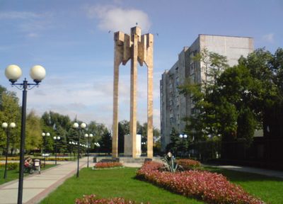
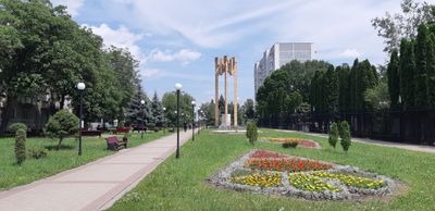
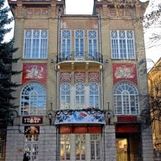
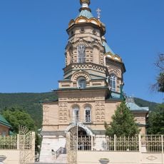
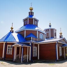
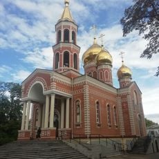
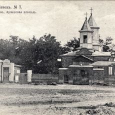
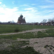
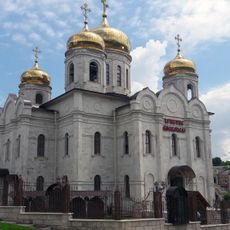
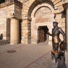
Local traditions manifest through seasonal agricultural festivals, regional cuisine, and the preserved Nikolskaya Church, which survived the Soviet period.

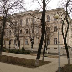
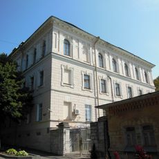
Nezlobnaya railway station connects the town to the regional rail network, while several colleges and training centers are located within the town center. Streets mostly run parallel to the river, so finding your way around on foot remains straightforward.

The semiconductor plant, garment factories, and food processing facilities position Georgiyevsk as a primary industrial center in Stavropol Krai.

The community of curious travelers

AroundUs brings together thousands of curated places, local tips, and hidden gems, enriched daily by 60,000 contributors worldwide.

Start exploring
Inception
1777
Elevation above the sea
300 m
GPS coordinates
44.15000,43.46667
Latest update
December 13, 2025 19:13
Around this place
Mashuk
Russian Federation

Mashuk

32.2 km
Lake Proval
Russian Federation

Lake Proval

31.6 km
The place of Lermontov's duel
Russian Federation

The place of Lermontov's duel

32.7 km
Lake Tambukan
Russian Federation

Lake Tambukan

32.2 km
Gora Zmeyka
Russian Federation

Gora Zmeyka

29.8 km
Monument to Mikhail Lermontov
Russian Federation

Monument to Mikhail Lermontov

33.6 km
Lermontov museum-reserve
Russian Federation

Lermontov museum-reserve

33.4 km
Lermontov Grotto
Russian Federation

Lermontov Grotto

32.7 km
Pyatigorsk Cableway
Russian Federation

Pyatigorsk Cableway

32.6 km
Храм Христа Спасителя
Russian Federation

Храм Христа Спасителя

33.5 km
Operetta Theatre of Stavropol Krai
Russian Federation

Operetta Theatre of Stavropol Krai

33.1 km
Church of Saint Lazarus of the Four Days, Pyatigorsk
Russian Federation

Church of Saint Lazarus of the Four Days, Pyatigorsk

33.4 km
Qora lola Pyatigorsk
Russian Federation

Qora lola Pyatigorsk

33.6 km
Lysaya
Russian Federation

Lysaya

21.1 km
Saint Nicholas Church, Georgievsk
Russian Federation

Saint Nicholas Church, Georgievsk

1.3 km
Пятигорский краеведческий музей
Russian Federation

Пятигорский краеведческий музей

33.4 km
Church of the Annunciation
Russian Federation

Church of the Annunciation

27.3 km
Церковь Святого Николая Чудотворца (Минеральные Воды)
Russian Federation

Церковь Святого Николая Чудотворца (Минеральные Воды)

27.9 km
Церковь Успения Пресвятой Богородицы (Пятигорск)
Russian Federation

Церковь Успения Пресвятой Богородицы (Пятигорск)

32.4 km
Surb Poghos-Petros Armenian church in Georgievsk
Russian Federation

Surb Poghos-Petros Armenian church in Georgievsk

3.5 km
Церковь Архангела Михаила (Незлобная, Георгиевский район)
Russian Federation

Церковь Архангела Михаила (Незлобная, Георгиевский район)

7.1 km
Orthodox cathedral in Pyatigorsk
Russian Federation

Orthodox cathedral in Pyatigorsk

33.5 km
Diana Grotto, Pyatigorsk
Russian Federation

Diana Grotto, Pyatigorsk

33.3 km
Gate of officers' department of infirmary
Russian Federation

Gate of officers' department of infirmary

33.2 km
Zol'skiy Kar'yer
Russian Federation

Zol'skiy Kar'yer

20.3 km
House for poor officers
Russian Federation

House for poor officers

33.1 km
Officers' department of infirmary
Russian Federation

Officers' department of infirmary

33.1 km
Ostap Bender statue in Pyatigorsk
Russian Federation

Ostap Bender statue in Pyatigorsk

31.5 km
Show the full map
Reviews
Share your experience

No review yet

Discussions
Start a discussion...

No discussion yet

« Georgiyevsk - Administrative center in Stavropol Krai, Russia » is provided by Around Us (aroundus.com). Images and texts are derived from Wikimedia project under a Creative Commons license. You are allowed to copy, distribute, and modify copies of this page, under the conditions set by the license, as long as this note is clearly visible.

Discover hidden gems everywhere you go!

From secret cafés to breathtaking viewpoints, skip the crowded tourist spots and find places that match your style. Our app makes it easy with voice search, smart filtering, route optimization, and insider tips from travelers worldwide. Download now for the complete mobile experience.

Around Us App Screenshot

A unique approach to discovering new places

Le Figaro

All the places worth exploring

France Info

A tailor-made excursion in just a few clicks

20 Minutes

Around Us
Travel Guide & Maps
Download

Send to your phone

QR Code
1

Open the camera app on your mobile.

2

Point at the QR code with your camera. A notification will appear.

3

Tap the notification to open the link.