Chest opened
+${chestReward.xp} XP
Explorer
NOUVEAU ×${chestReward.collectible.quantity}
tapez pour fermer

See the monuments around you in AR Open chests in the app

Around Us is built for your phone — point your camera at the streets and discover the monuments and places around you in augmented reality. Around Us is built for your phone — chests unlock when you walk, explore and capture nearby places.

Enable Location

We need your location to show you interesting places around you

Discover nearby places

Find interesting locations and hidden gems around you

Precise directions

Get accurate directions and distances to places

Your location is never shared with other users. It's only used when you tap the location button.

Kuma

Log in to your account

Start exploring — it's free

Trusted by 86,334 travelers worldwide

Continue with Google
Continue with Apple
or

We will send you a code to connect

By continuing, you accept our Terms and Conditions and our Privacy Policy

Check your inbox

We've sent a pincode in your inbox. Please enter the code below.

Kuma
Discussion Reviews 1 Photos
18.9k Popularity

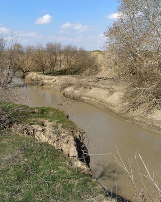
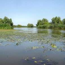
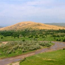
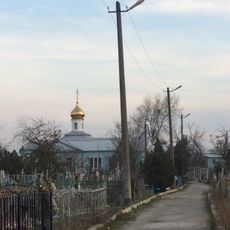
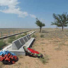
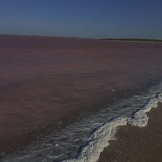
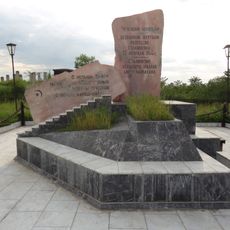
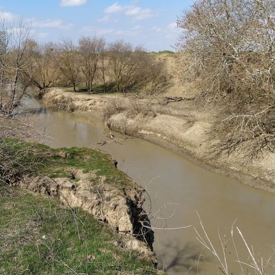
Kuma, River in Karachay-Cherkessia, Russia.

The Kuma is a river in the North Caucasus that winds through mountainous terrain in Karachay-Cherkessia. The waterway flows past several settlements and supports agricultural irrigation throughout the region.

In the late 18th century, the Russian Empire built fortifications along the river to strengthen its southern frontier after conflict with the Ottoman Empire. This military expansion shaped the region's development for generations.

The river connects several ethnic groups of the region—Karachays, Russians, and Cherkess people—whose daily lives have long intertwined along its banks. Visitors can observe how local residents use the water and integrate it into their everyday routines and seasonal activities.

The river is easily accessible from surrounding settlements, with various points along the banks offering good views. The terrain is mountainous, so sturdy footwear is recommended for exploring the area.

The river system connects over 170 tributaries and streams into one extended network of flowing water. This complex interconnected system sustains the region's diverse wildlife and plant life.

The community of curious travelers

AroundUs brings together thousands of curated places, local tips, and hidden gems, enriched daily by 60,000 contributors worldwide.
Start exploring
GPS coordinates
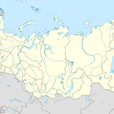
44.75389,46.99389
Latest update
September 13, 2026 00:49
Around this place
Astrakhan Nature Reserve
Russian Federation

Astrakhan Nature Reserve

93.1 mi
Chyornye Zemli Nature Reserve
Russian Federation

Chyornye Zemli Nature Reserve

94.1 mi
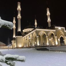
Aymani Kadyrova Mosque
Russian Federation

Aymani Kadyrova Mosque

115.1 mi
Dagestan Nature Reserve
Russian Federation

Dagestan Nature Reserve

23.1 mi
Church of the Theotokos of the Sign
Russian Federation

Church of the Theotokos of the Sign

106.4 mi
Fortress of the Holy Cross
Russian Federation

Fortress of the Holy Cross

96.7 mi
Kizlyar Fortress
Russian Federation

Kizlyar Fortress

64.2 mi
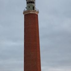
Четырёхбугорный маяк
Russian Federation

Четырёхбугорный маяк

66.6 mi
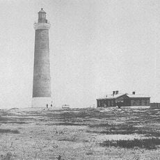
Chechen Lighthouse
Russian Federation

Chechen Lighthouse

62.8 mi
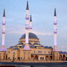
Sultan Delimkhanov Mosque
Russian Federation

Sultan Delimkhanov Mosque

111.2 mi
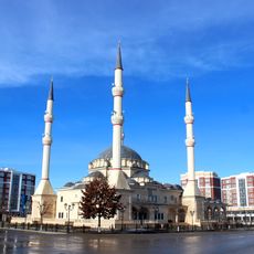
Kurchaloy Mosque
Russian Federation

Kurchaloy Mosque

116.2 mi
Крестовоздвиженский монастырь
Russian Federation

Крестовоздвиженский монастырь

63.5 mi
Khulkhuta Memorial
Russian Federation

Khulkhuta Memorial

113 mi
Меклетинский заказник
Russian Federation

Меклетинский заказник

80.8 mi
Leo Tolstoy museum
Russian Federation

Leo Tolstoy museum

82.3 mi
Monument to the Victims of Stalinism Chechens Akkin
Russian Federation

Monument to the Victims of Stalinism Chechens Akkin

112.5 mi
Oyskhara Mosque
Russian Federation

Oyskhara Mosque

109.9 mi
Ільменно-бугровий заказник
Russian Federation

Ільменно-бугровий заказник

103.2 mi
Лиманский хурул
Russian Federation

Лиманский хурул

72.2 mi
Gerzel-aul
Russian Federation

Gerzel-aul

108.6 mi
Литературно-мемориальный музей А. Айдамирова
Russian Federation

Литературно-мемориальный музей А. Айдамирова

114.6 mi
Stepnoi Nature Sanctuary
Russian Federation

Stepnoi Nature Sanctuary

86 mi
Хрестовий заказник
Russian Federation

Хрестовий заказник

107.6 mi
Мемориальный комплекс участникам ВОВ
Russian Federation

Мемориальный комплекс участникам ВОВ

112.5 mi
Mayrtup Cuma Mosque
Russian Federation

Mayrtup Cuma Mosque

115.3 mi
Горячеводский редут
Russian Federation

Горячеводский редут

109.5 mi
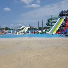
Аквапарк
Russian Federation

Аквапарк

106.7 mi
Зултурган
Russian Federation

Зултурган

112.1 mi
Show the full map
Reviews
Share your experience

No review yet

Discussions
Start a discussion...

No discussion yet

« Kuma - River in Karachay-Cherkessia, Russia » is provided by Around Us (aroundus.com). Images and texts are derived from Wikimedia project under a Creative Commons license. You are allowed to copy, distribute, and modify copies of this page, under the conditions set by the license, as long as this note is clearly visible.

Discover hidden gems everywhere you go!

From secret cafés to breathtaking viewpoints, skip the crowded tourist spots and find places that match your style. Our app makes it easy with voice search, smart filtering, route optimization, and insider tips from travelers worldwide. Download now for the complete mobile experience.
Around Us App Screenshot

A unique approach to discovering new places

Le Figaro

All the places worth exploring

France Info

A tailor-made excursion in just a few clicks

20 Minutes

Around Us
Travel Guide & Maps
Download

Send to your phone

QR Code
1

Open the camera app on your mobile.

2

Point at the QR code with your camera. A notification will appear.

3

Tap the notification to open the link.