Enable Location

We need your location to show you interesting places around you

Discover nearby places

Find interesting locations and hidden gems around you

Precise directions

Get accurate directions and distances to places

Your location is never shared with other users. It's only used when you tap the location button.

Katyn

Log in to your account

Start exploring — it's free

Trusted by 61,343 travelers worldwide

Continue with Google
Continue with Apple
or

We will send you a code to connect

By continuing, you accept our Terms and Conditions and our Privacy Policy

Check your inbox

We've sent a pincode in your inbox. Please enter the code below.

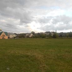
Katyn, Rural settlement in Smolensky District, Russia.

Description

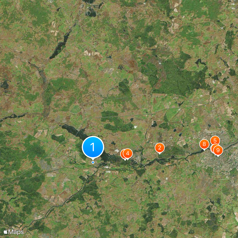
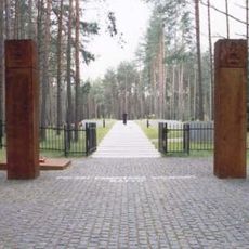
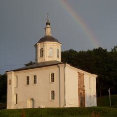
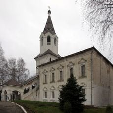
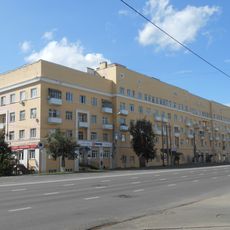
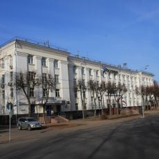
Katyn is a rural settlement near Smolensk in western Russia, located along the international railway line connecting Moscow to Europe. The area today functions primarily as a memorial site, with forests containing multiple monuments and burial grounds that commemorate those who died.

History

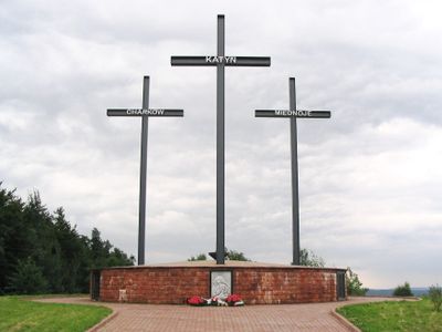
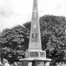
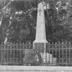
The location was the site of mass executions by Soviet authorities during World War II in 1940, an event that remained hidden for a long time. The revelation of these crimes eventually led to international recognition and the establishment of memorials at this place.

Culture

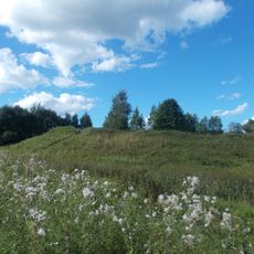
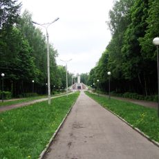
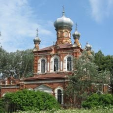
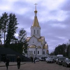
The name Katyn today stands as a memorial to those who lost their lives here, and visitors walking through the forest grounds encounter monuments and plaques that speak to the solemnity of the place. These markers reflect how local and international communities have worked to honor memory and ensure awareness of what occurred.

Practical

The location is accessible by rail via the Berlin-Warsaw-Minsk-Moscow railway line, with the station providing direct access to the memorial sites. Visitors should prepare for forest paths and wear appropriate weather-resistant clothing, as many of the monuments are situated within woodland areas.

Did you know?

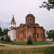
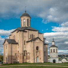
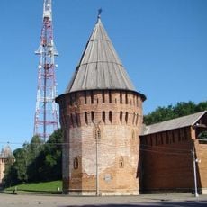
The area contains archaeological traces of ancient settlements reaching back to periods before the medieval era. These prehistoric artifacts demonstrate that the land has been inhabited and used by people for thousands of years.

Location
Katynskoje
Elevation above the sea
167 m
GPS coordinates
54.77009,31.68981
Latest update
December 17, 2025 08:34

AroundUs brings together thousands of curated places, local tips, and hidden gems, enriched daily by 60,000 contributors worldwide. Discover all places nearby (Katynskoje).

Around this place
Gnezdovo
Russian Federation

Gnezdovo

12.3 km
Katyn Forest
Russian Federation

Katyn Forest

5.9 km
Katyn war cemetery
Russian Federation

Katyn war cemetery

6.4 km
Church of Saint Peter and Saint Paul on Gorodyanka
Russian Federation

Church of Saint Peter and Saint Paul on Gorodyanka

22.5 km
Lopatinsky garden
Russian Federation

Lopatinsky garden

22.4 km
Memorial to the Battle of Smolensk
Russian Federation

Memorial to the Battle of Smolensk

22.5 km
Borisoglebsky Monastery
Russian Federation

Borisoglebsky Monastery

20.5 km
Smolensk Art Gallery
Russian Federation

Smolensk Art Gallery

22.9 km
Readowski Park
Russian Federation

Readowski Park

21.4 km
Svirskaya Church
Russian Federation

Svirskaya Church

21.3 km
Gromovaya Tower
Russian Federation

Gromovaya Tower

22.8 km
Saint John the Evangelist Church, Smolensk
Russian Federation

Saint John the Evangelist Church, Smolensk

22.5 km
Fyodor Kon monument in Smolensk
Russian Federation

Fyodor Kon monument in Smolensk

22.7 km
Kommunisticheskaya Street 4, Smolensk
Russian Federation

Kommunisticheskaya Street 4, Smolensk

22.9 km
Spartak Stadium in Smolensk
Russian Federation

Spartak Stadium in Smolensk

22.2 km
Monument to Sofijsky regiment in Smolensk
Russian Federation

Monument to Sofijsky regiment in Smolensk

22.3 km
Category:Church of Saint Barbara, Smolensk
Russian Federation

Category:Church of Saint Barbara, Smolensk

22.5 km
Kopytenskaya Tower
Russian Federation

Kopytenskaya Tower

22.5 km
Tomb of General Skalon
Russian Federation

Tomb of General Skalon

22.3 km
Oktyabrskoy Revolyutsii Street 1/2, Smolensk
Russian Federation

Oktyabrskoy Revolyutsii Street 1/2, Smolensk

22.8 km
Gagarin Avenue 12/1, Smolensk
Russian Federation

Gagarin Avenue 12/1, Smolensk

22.9 km
Музей «Смоленск — щит России»
Russian Federation

Музей «Смоленск — щит России»

22.8 km
Ecclesia archangeli Michaelis
Russian Federation

Ecclesia archangeli Michaelis

21.9 km
House of Soviets, Smolensk
Russian Federation

House of Soviets, Smolensk

22.9 km
Oktyabrskoy Revolyutsii Street 6, Smolensk
Russian Federation

Oktyabrskoy Revolyutsii Street 6, Smolensk

22.8 km
Petropavlovsky Bridge
Russian Federation

Petropavlovsky Bridge

22.4 km
Donets Tower
Russian Federation

Donets Tower

22.9 km
Church of the Resurrection of Christ in Katyn
Russian Federation

Church of the Resurrection of Christ in Katyn

6.3 km
Show the full map
« Katyn - Rural settlement in Smolensky District, Russia » is provided by Around Us (aroundus.com). Images and texts are derived from Wikimedia project under a Creative Commons license. You are allowed to copy, distribute, and modify copies of this page, under the conditions set by the license, as long as this note is clearly visible.

Discover hidden gems everywhere you go!

From secret cafés to breathtaking viewpoints, skip the crowded tourist spots and find places that match your style. Our app makes it easy with voice search, smart filtering, route optimization, and insider tips from travelers worldwide. Download now for the complete mobile experience.

Around Us App Screenshot

A unique approach to discovering new places

Le Figaro

All the places worth exploring

France Info

A tailor-made excursion in just a few clicks

20 Minutes

Around Us
Travel Guide & Maps
Download

Send to your phone

QR Code
1

Open the camera app on your mobile.

2

Point at the QR code with your camera. A notification will appear.

3

Tap the notification to open the link.