Chest opened
+${chestReward.xp} XP
Explorer
NOUVEAU ×${chestReward.collectible.quantity}
tapez pour fermer
Chest locked

Open chests in the app

Around Us is built for your phone — chests unlock when you walk, explore and capture nearby places.

Enable Location

We need your location to show you interesting places around you

Discover nearby places

Find interesting locations and hidden gems around you

Precise directions

Get accurate directions and distances to places

Your location is never shared with other users. It's only used when you tap the location button.

Kharabali

Log in to your account

Start exploring — it's free

Trusted by 72,878 travelers worldwide

Continue with Google
Continue with Apple
or

We will send you a code to connect

By continuing, you accept our Terms and Conditions and our Privacy Policy

Check your inbox

We've sent a pincode in your inbox. Please enter the code below.

Kharabali
Discussion Reviews 1 Photos
18.9k Popularity

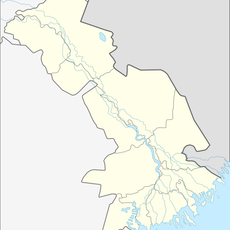
Kharabali, human settlement in Kharabalinsky District, Astrakhan Oblast, Russia

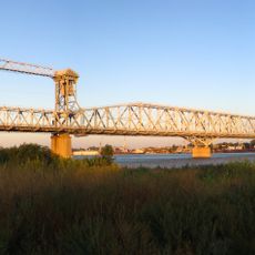
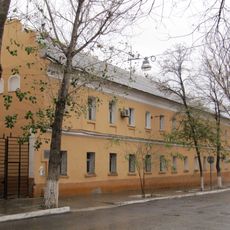
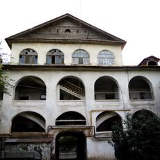
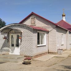
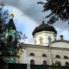
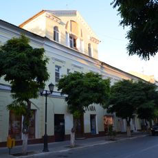
Kharabali is a small town in the Astrakhan region of Russia, located on the left bank of the Ashuluk River. Practical, low-rise buildings define the streetscape - small shops, homes, and administrative offices arrange themselves around a central square where residents gather.

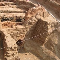
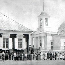
The town was founded in the late 1700s when the first settlers moved to the area. The 20th century brought rapid change: a canning factory opened in 1936, electrical power arrived in the 1920s, and the place gained official city status in 1974.

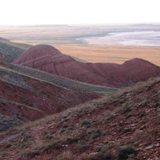
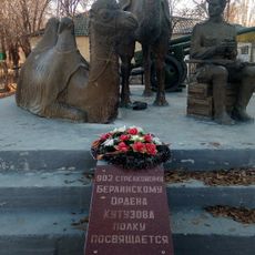
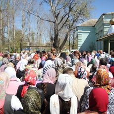
The name Kharabali may derive from a Kalmyk word meaning "black hill" or a Kazakh term related to fish and ruins. Daily life here centers around the river and surrounding farmland, with locals gathering in the central square and seasonal celebrations bringing the community together.

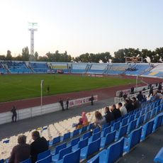
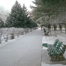
Visitors can reach the town easily by local bus or private transport, with good connections to Astrakhan and nearby areas. Within the town, minibuses serve different neighborhoods, and green spaces like Victory Square offer places to walk and rest.

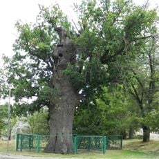
During warmer months, fields and gardens around town burst into greenery, revealing the work of farmers and gardeners. This fruit-growing tradition reaches back when Gagarin Street was called Sadovaya, or Garden Street, and apple trees lined its paths.

The community of curious travelers

AroundUs brings together thousands of curated places, local tips, and hidden gems, enriched daily by 60,000 contributors worldwide.

Start exploring
Inception
1789
Elevation above the sea
0 m
GPS coordinates
47.40000,47.25000
Latest update
February 16, 2026 23:20
Around this place
Astrakhan Kremlin
Russian Federation

Astrakhan Kremlin

131.2 km
Bogdinsko-Baskunchakski Nature Reserve
Russian Federation

Bogdinsko-Baskunchakski Nature Reserve

94.5 km
Opera and Ballet Theatre of Astrakhan
Russian Federation

Opera and Ballet Theatre of Astrakhan

130.6 km
Selitrennoye Gord
Russian Federation

Selitrennoye Gord

27.3 km
Astrakhan Oak
Russian Federation

Astrakhan Oak

131.3 km
Khosheutovsky khurul
Russian Federation

Khosheutovsky khurul

59.4 km
Cathedral of the Dormition
Russian Federation

Cathedral of the Dormition

131.3 km
Central Stadium
Russian Federation

Central Stadium

128.7 km
Old Astrakhan Bridge
Russian Federation

Old Astrakhan Bridge

131.4 km
New Astrakhan Bridge
Russian Federation

New Astrakhan Bridge

128.8 km
Мы победили! (памятник)
Russian Federation

Мы победили! (памятник)

127.5 km
Baskunchakskaya Cave
Russian Federation

Baskunchakskaya Cave

104 km
Мемориальный комплекс «Крыло Икара»
Russian Federation

Мемориальный комплекс «Крыло Икара»

127.4 km
Communication tower in Astrakhan
Russian Federation

Communication tower in Astrakhan

130.8 km
Indian House, Astrakhan
Russian Federation

Indian House, Astrakhan

131.4 km
Персидское подворье
Russian Federation

Персидское подворье

131.5 km
Воскресенско-Мироносицкий женский монастырь
Russian Federation

Воскресенско-Мироносицкий женский монастырь

122.6 km
Russian Federation

Beliy Gorod

131.4 km
Transfiguration Monastery
Russian Federation

Transfiguration Monastery

131.4 km
Свято-Троицкий собор
Russian Federation

Свято-Троицкий собор

23.8 km
Церковь Михаила Архангела (Ахтубинск)
Russian Federation

Церковь Михаила Архангела (Ахтубинск)

129.9 km
Solonchak
Russian Federation

Solonchak

102.1 km
Пречистенская колокольня
Russian Federation

Пречистенская колокольня

131.3 km
Kochevaya
Russian Federation

Kochevaya

113.8 km
Razezd 15 km
Russian Federation

Razezd 15 km

118.6 km
Church of the Nativity of Christ, Astrakhan
Russian Federation

Church of the Nativity of Christ, Astrakhan

131.2 km
Summer Theatre in Arkadia Garden
Russian Federation

Summer Theatre in Arkadia Garden

131.2 km
Armenian House, Astrakhan
Russian Federation

Armenian House, Astrakhan

131.5 km
Show the full map
Reviews
Share your experience

No review yet

Discussions
Start a discussion...

No discussion yet

« Kharabali - human settlement in Kharabalinsky District, Astrakhan Oblast, Russia » is provided by Around Us (aroundus.com). Images and texts are derived from Wikimedia project under a Creative Commons license. You are allowed to copy, distribute, and modify copies of this page, under the conditions set by the license, as long as this note is clearly visible.

Discover hidden gems everywhere you go!

From secret cafés to breathtaking viewpoints, skip the crowded tourist spots and find places that match your style. Our app makes it easy with voice search, smart filtering, route optimization, and insider tips from travelers worldwide. Download now for the complete mobile experience.

Around Us App Screenshot

A unique approach to discovering new places

Le Figaro

All the places worth exploring

France Info

A tailor-made excursion in just a few clicks

20 Minutes

Around Us
Travel Guide & Maps
Download

Send to your phone

QR Code
1

Open the camera app on your mobile.

2

Point at the QR code with your camera. A notification will appear.

3

Tap the notification to open the link.