Namsky District, Administrative district in Sakha Republic, Russia
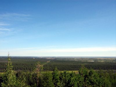
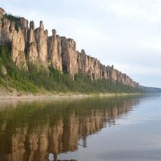
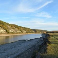
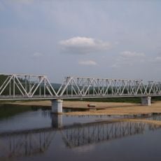
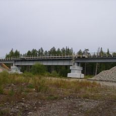
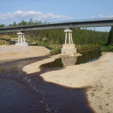
Namsky District sits on the Central Yakutian Lowland and is crossed by the Lena River along with its tributary streams. The town of Namtsy serves as its administrative center and connects the region to other cities.
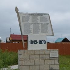
The district was established as an administrative unit in 1930 and existed throughout the period of the Yakut Autonomous Soviet Socialist Republic. Its boundaries and structure evolved alongside the larger political changes of the 20th century.
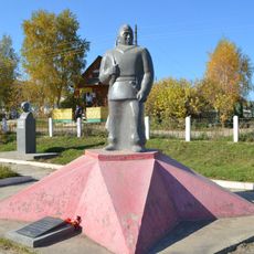
Local people maintain traditional ways of life adapted to the Siberian environment over many generations. Hunting, fishing, and farming remain central to how communities live and see themselves.
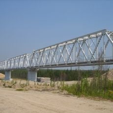
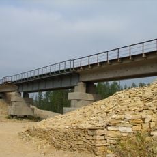
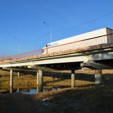
The area is accessible through regional roads that connect Namtsy with surrounding communities. Keep in mind that road conditions vary depending on the season, so sturdy footwear is helpful for getting around.
The region experiences extreme swings in temperature between seasons, with very cold winters and brief mild summers. These harsh conditions shape the landscape and influence how people adapt their daily lives.
Location: Sakha
Inception: 1930
Capital city: Namtsy
Website: https://mr-namskij.sakha.gov.ru
GPS coordinates: 58.66667,125.35000
Latest update: December 8, 2025 13:41
Lena Pillars
293.9 km
Amur Yakutsk Mainline
437.6 km
Highland of Aldan
122.4 km
Olyokma Nature Reserve
179 km
Сиреневый Камень
366.4 km
Buotama
255.1 km
Kyuryulyur
384.4 km
Памятник воинам-землякам, погибшим в годы Великой Отечественной войны (Томмот)
63.2 km
Мемориал Славы (Нерюнгри)
226.5 km
F. K. Popov yodgorlik-byusti
437.6 km
Памятник И. Н. Кульбертинову (Олёкминск)
337.3 km
Памятник воинам-землякам, участникам Великой Отечественной войны (Петровка, Якутия)
436 km
Памятник-часовня (Петровка)
436 km
Orthodox church of the New Martyrs and Confessors of Russia in Aldan
6.2 km
Railway bridge through Myla river
424.4 km
Road bridge over Aldan River in Tommot
63.2 km
Railway bridge through Aldan river in Tommot
63.3 km
Railway bridge through Amga river in Verkhnyaya Amga
148.9 km
Turuk Khaya Rocks
376.7 km
Railway bridge through Lyutenge river
327.4 km
Road bridge over Amga River in Verkhnyaya Amga
148.7 km
Railway bridge through Menda river
386.7 km
Railway bridge through Kirim river
354.2 km
Rail bridge over Ulu river
217.7 km
Railway bridge through Lyutenge river
374.9 km
Railway bridge through Ulakhan-Taryng river
398.2 km
Railway bridge through Tamma river
418.9 km
Road bridge over Ulu River in Ulu
217.7 kmVisited this place? Tap the stars to rate it and share your experience / photos with the community! Try now! You can cancel it anytime.
Discover hidden gems everywhere you go!
From secret cafés to breathtaking viewpoints, skip the crowded tourist spots and find places that match your style. Our app makes it easy with voice search, smart filtering, route optimization, and insider tips from travelers worldwide. Download now for the complete mobile experience.
A unique approach to discovering new places❞
— Le Figaro
All the places worth exploring❞
— France Info
A tailor-made excursion in just a few clicks❞
— 20 Minutes