Highland of Aldan, Mountain system in Sakha Republic, Russia.
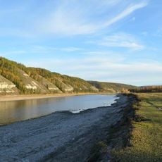
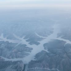
The Highland of Aldan is a mountain system located in the Sakha Republic of South Siberia, with terrain that rises progressively from surrounding plateaus. The range features multiple ridges and valleys carved by rivers, creating a varied landscape across its span.
The highlands were first explored and mapped by scientific expeditions during the 1930s, which documented the geology and terrain. These early investigations established the foundation for modern understanding of the region's structure.
The mountainous region contains the Olyokma Nature Reserve, which protects local wildlife and natural resources in the northwestern section.
The region's highest point is Mount Ningam, offering opportunities for hiking and mountaineering. Visitors should prepare for harsh weather conditions and bring appropriate gear for the challenging mountain environment.
The bedrock includes ancient rock types such as gneiss and amphibolite dating back millions of years. These formations offer a window into the geological history of the area.
GPS coordinates: 57.57331,125.13565
Latest update: December 8, 2025 13:42
Lena Pillars
413.1 km
Chara Sands
428.8 km
Zeya Dam
444.7 km
Olyokma Nature Reserve
207.7 km
Zeya Nature Reserve
425.6 km
Lake Bolshoye Toko
388.8 km
Pik BAM
462.1 km
Kodar National Park
463.1 km
Сиреневый Камень
367.7 km
Udokan Plateau
469.8 km
Buotama
374.5 km
Tokinsko-Stanovoy National Park
375.2 km
Памятник воинам-землякам, погибшим в годы Великой Отечественной войны (Томмот)
169.6 km
Ayachi, Amur Oblast
444.2 km
Текан (Амурська область)
445.6 km
Мемориал Славы (Нерюнгри)
104.8 km
Памятник И. Н. Кульбертинову (Олёкминск)
412.8 km
Ягодний (Амурська область)
445.2 km
Orthodox church of the New Martyrs and Confessors of Russia in Aldan
116.8 km
Road bridge over Aldan River in Tommot
168.8 km
Railway bridge through Aldan river in Tommot
169 km
Railway bridge through Amga river in Verkhnyaya Amga
258.1 km
Road bridge over Amga River in Verkhnyaya Amga
258 km
Railway bridge through Lyutenge river
438.5 km
Railway bridge through Kirim river
465.3 km
Rail bridge over Ulu river
332.2 km
Road bridge over Ulu River in Ulu
332.2 km
Zeya Reservoir
428.7 kmVisited this place? Tap the stars to rate it and share your experience / photos with the community! Try now! You can cancel it anytime.
Discover hidden gems everywhere you go!
From secret cafés to breathtaking viewpoints, skip the crowded tourist spots and find places that match your style. Our app makes it easy with voice search, smart filtering, route optimization, and insider tips from travelers worldwide. Download now for the complete mobile experience.
A unique approach to discovering new places❞
— Le Figaro
All the places worth exploring❞
— France Info
A tailor-made excursion in just a few clicks❞
— 20 Minutes