Enable Location

We need your location to show you interesting places around you

Discover nearby places

Find interesting locations and hidden gems around you

Precise directions

Get accurate directions and distances to places

Your location is never shared with other users. It's only used when you tap the location button.

Levashinsky District

Log in to your account

Start exploring — it's free

Trusted by 68,036 travelers worldwide

Continue with Google
Continue with Apple
or

We will send you a code to connect

By continuing, you accept our Terms and Conditions and our Privacy Policy

Check your inbox

We've sent a pincode in your inbox. Please enter the code below.

Levashinsky District
Discussion Reviews 1 Photos
13.3k Popularity

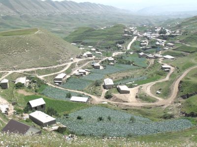
Levashinsky District, Municipal district in central Dagestan, Russia

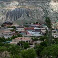
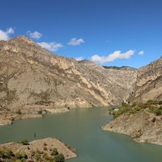
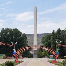
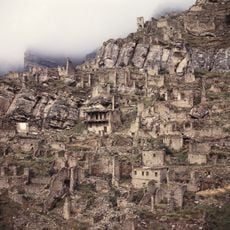
Levashinsky District is a municipal administrative area in Dagestan covering about 830 square kilometers. The territory contains 67 rural settlements organized across thirteen administrative divisions, with Levashi serving as the district center.

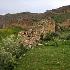
The district was established as an administrative entity on November 22, 1928, during the Soviet period. It remained part of regional governance structures through the collapse of the Soviet Union and into the modern era.

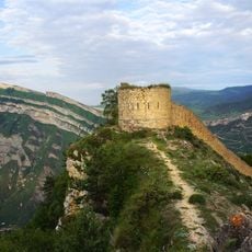
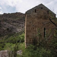
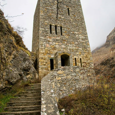
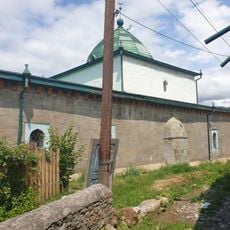
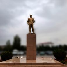
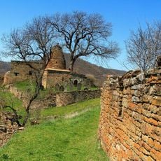
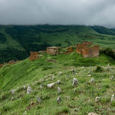
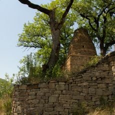
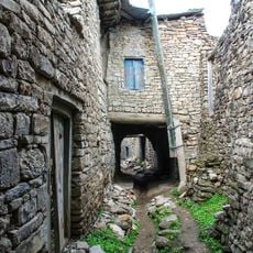
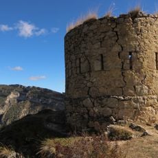
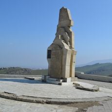
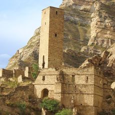
The communities here preserve rural traditions and ways of life passed down through generations. People practice traditional crafts and customs that shape daily activities and define their local identity.

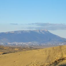
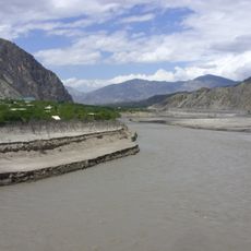
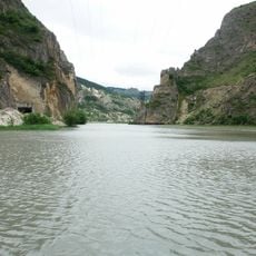
The district operates on Moscow Standard Time, UTC+3, with Levashi as its administrative hub. Visitors should know the entire area is rural in character, requiring careful planning for travel and navigation.

The district is known by different names across local languages: Левашинский райо́н in Russian, Лавашала къатI in Dargwa, and Лаваша мухъ in Avar. This naming diversity reflects the multilingual character of the population living here.

The community of curious travelers

AroundUs brings together thousands of curated places, local tips, and hidden gems, enriched daily by 60,000 contributors worldwide.

Start exploring
Location
Inception
November 22, 1928
Capital city
Levashi
GPS coordinates
42.43333,47.31667
Latest update
December 7, 2025 20:40
Around this place
Gunib Fortress
Russian Federation

Gunib Fortress

30.1 km
Datuna Church
Russian Federation

Datuna Church

57.3 km
Tarki-Tau
Russian Federation

Tarki-Tau

57.6 km
Gimry tower
Russian Federation

Gimry tower

50.3 km
Irganai Reservoir
Russian Federation

Irganai Reservoir

45.1 km
Russian Federation

Памятник «Русской учительнице»

60.9 km
Khunzakh Fortress
Russian Federation

Khunzakh Fortress

50.7 km
Кумухская джума-мечеть
Russian Federation

Кумухская джума-мечеть

33.5 km
Russian Federation

Institute of History, Archaeology and Ethnography

61 km
Gergebil Reservoir
Russian Federation

Gergebil Reservoir

24.5 km
Aqualand
Russian Federation

Aqualand

58.7 km
Джума-мечеть (Кумух)
Russian Federation

Джума-мечеть (Кумух)

33.4 km
Мечеть (Салта)
Russian Federation

Мечеть (Салта)

20.7 km
Крепостная стена (Гуниб)
Russian Federation

Крепостная стена (Гуниб)

30.1 km
Памятник В.И. Ленину (Каспийск)
Russian Federation

Памятник В.И. Ленину (Каспийск)

57.2 km
Мавзолей (Кала-Корейш)
Russian Federation

Мавзолей (Кала-Корейш)

46.3 km
Архитектурный комплекс села Амузги (Амузги)
Russian Federation

Архитектурный комплекс села Амузги (Амузги)

46.7 km
Кладбище уцмиев (Кала-Корейш)
Russian Federation

Кладбище уцмиев (Кала-Корейш)

46.3 km
Водохранилище (Гуниб)
Russian Federation

Водохранилище (Гуниб)

27.9 km
Арабское кладбище (Кара-корейш)
Russian Federation

Арабское кладбище (Кара-корейш)

46.5 km
Джума-мечеть (Кала-Корейш)
Russian Federation

Джума-мечеть (Кала-Корейш)

46.3 km
Селение Корода (архитектурный комплекс) (Корода)
Russian Federation

Селение Корода (архитектурный комплекс) (Корода)

38.5 km
Оборонительная сторожевая башня (Гуниб)
Russian Federation

Оборонительная сторожевая башня (Гуниб)

30.1 km
Памятник “Борцам за власть Советов в Дагестане” (Махачкала)
Russian Federation

Памятник “Борцам за власть Советов в Дагестане” (Махачкала)

60.5 km
Обелиск строителям дороги Порт-Петровск - Темир-Хан-Шура (Ленинкент)
Russian Federation

Обелиск строителям дороги Порт-Петровск - Темир-Хан-Шура (Ленинкент)

58.1 km
Верхняя боевая башня (Кахиб)
Russian Federation

Верхняя боевая башня (Кахиб)

58.7 km
Селение Кахиб (старое) (Кахиб)
Russian Federation

Селение Кахиб (старое) (Кахиб)

58.7 km
Памятник венгерским красноармейцам-добровольцам, погибшим в борьбе с белогвардейцами (Махачкала)
Russian Federation

Памятник венгерским красноармейцам-добровольцам, погибшим в борьбе с белогвардейцами (Махачкала)

60.4 km
Show the full map
Reviews
Share your experience

No review yet

Discussions
Start a discussion...

No discussion yet

« Levashinsky District - Municipal district in central Dagestan, Russia » is provided by Around Us (aroundus.com). Images and texts are derived from Wikimedia project under a Creative Commons license. You are allowed to copy, distribute, and modify copies of this page, under the conditions set by the license, as long as this note is clearly visible.

Discover hidden gems everywhere you go!

From secret cafés to breathtaking viewpoints, skip the crowded tourist spots and find places that match your style. Our app makes it easy with voice search, smart filtering, route optimization, and insider tips from travelers worldwide. Download now for the complete mobile experience.

Around Us App Screenshot

A unique approach to discovering new places

Le Figaro

All the places worth exploring

France Info

A tailor-made excursion in just a few clicks

20 Minutes

Around Us
Travel Guide & Maps
Download

Send to your phone

QR Code
1

Open the camera app on your mobile.

2

Point at the QR code with your camera. A notification will appear.

3

Tap the notification to open the link.