Chest opened
+${chestReward.xp} XP
Explorer
NOUVEAU ×${chestReward.collectible.quantity}
tapez pour fermer
Chest locked

Open chests in the app

Around Us is built for your phone — chests unlock when you walk, explore and capture nearby places.

Enable Location

We need your location to show you interesting places around you

Discover nearby places

Find interesting locations and hidden gems around you

Precise directions

Get accurate directions and distances to places

Your location is never shared with other users. It's only used when you tap the location button.

Dokuzparinsky District

Log in to your account

Start exploring — it's free

Trusted by 72,885 travelers worldwide

Continue with Google
Continue with Apple
or

We will send you a code to connect

By continuing, you accept our Terms and Conditions and our Privacy Policy

Check your inbox

We've sent a pincode in your inbox. Please enter the code below.

Discussion Reviews 1 Photos
10.4k Popularity

Dokuzparinsky District, Municipal district in Dagestan, Russian Federation.

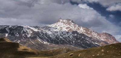
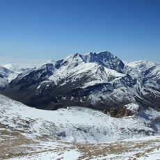
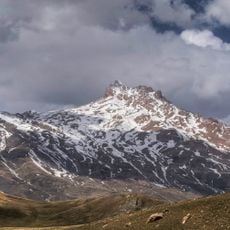
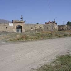
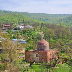
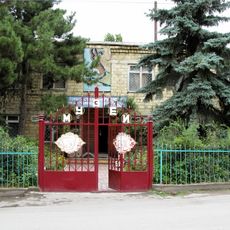
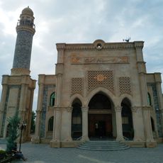
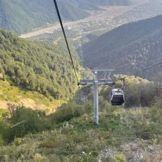
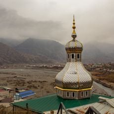
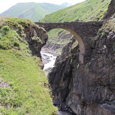
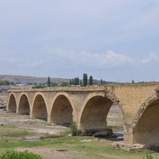
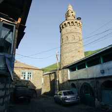
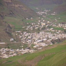
Dokuzparinsky District is a municipal district in southern Dagestan, Russia, with Usukhchay as its administrative center. It covers a mountainous area made up of scattered villages connected by valleys and mountain passes.

The district was created in 1934 as an administrative unit inside the Dagestani Autonomous Soviet Socialist Republic. After the Soviet Union ended in 1991, it remained in place as part of the Russian Federation.

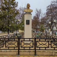
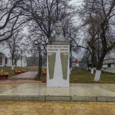
The people living here speak several languages from the Caucasus, and you can hear this variety simply by moving from one village to the next. Local gatherings and markets reflect a way of life shaped by the mountains and the seasons.

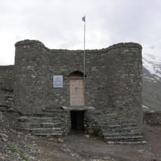
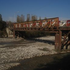
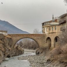
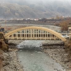
Getting around between villages depends on mountain roads that can become difficult in certain seasons. It is worth checking road conditions before traveling and allowing extra time for the journey.

The district sits at a point where several ethno-linguistic groups of the Caucasus meet, meaning that some villages speak languages entirely different from those of their nearest neighbors. This variety is concentrated in a very small area.

The community of curious travelers

AroundUs brings together thousands of curated places, local tips, and hidden gems, enriched daily by 60,000 contributors worldwide.

Start exploring
Location
Inception
1934
Capital city
Usukhchay
GPS coordinates
41.42139,47.91139
Latest update
March 3, 2026 10:12
Around this place
Mount Bazardüzü
Azerbaijan

Mount Bazardüzü

22.8 km
Szalbuzdag
Russian Federation

Szalbuzdag

14.1 km
Gabala City Stadium
Azerbaijan

Gabala City Stadium

48.9 km
Akhty Fortress
Russian Federation

Akhty Fortress

15.1 km
Mausoleum of Sheikh Juneyd
Azerbaijan

Mausoleum of Sheikh Juneyd

29.7 km
Six Dome Synagogue
Azerbaijan

Six Dome Synagogue

50.1 km
Guba Genocide Memorial Complex
Azerbaijan

Guba Genocide Memorial Complex

49 km
Museo Ajty de conocimiento local
Russian Federation

Museo Ajty de conocimiento local

47.8 km
The Museum of Mountain Jews
Azerbaijan

The Museum of Mountain Jews

50.3 km
Historical-ethnographic museum of Khinalig village
Azerbaijan

Historical-ethnographic museum of Khinalig village

32.6 km
Old Bridge
Azerbaijan

Old Bridge

43.9 km
Dome bathhouse
Azerbaijan

Dome bathhouse

50.2 km
Heydar Aliyev Congress Center
Azerbaijan

Heydar Aliyev Congress Center

49.3 km
Surkhaykhan tower
Azerbaijan

Surkhaykhan tower

41 km
Narimanov Park
Azerbaijan

Narimanov Park

43.3 km
Ջումա մզկիթ (Գաբալա)
Azerbaijan

Ջումա մզկիթ (Գաբալա)

49.3 km
يني مسجد (قبالا)
Azerbaijan

يني مسجد (قبالا)

49.3 km
Qabala Cable Car
Azerbaijan

Qabala Cable Car

46.3 km
Friday Mosque of Akhty
Russian Federation

Friday Mosque of Akhty

15.6 km
Мост (Фий)
Russian Federation

Мост (Фий)

32 km
Мост через Гюльгерычай (Советское)
Russian Federation

Мост через Гюльгерычай (Советское)

47.7 km
Памятник В.И. Ленину (Ахты)
Russian Federation

Памятник В.И. Ленину (Ахты)

15.4 km
Idris bridge
Russian Federation

Idris bridge

15.6 km
Dzhiors and Debernardi bridge
Russian Federation

Dzhiors and Debernardi bridge

15.5 km
Памятник Народному поэту Тагиру Хурюгскому (Ахты)
Russian Federation

Памятник Народному поэту Тагиру Хурюгскому (Ахты)

15.4 km
Бюст Героя Советского Союза Валентина Эмирова (Ахты)
Russian Federation

Бюст Героя Советского Союза Валентина Эмирова (Ахты)

15.2 km
Джума-мечеть с минаретом (Тпиг)
Russian Federation

Джума-мечеть с минаретом (Тпиг)

48 km
Селение Тпиг (Тпиг)
Russian Federation

Селение Тпиг (Тпиг)

48 km
Show the full map
Reviews
Share your experience

No review yet

Discussions
Start a discussion...

No discussion yet

« Dokuzparinsky District - Municipal district in Dagestan, Russian Federation » is provided by Around Us (aroundus.com). Images and texts are derived from Wikimedia project under a Creative Commons license. You are allowed to copy, distribute, and modify copies of this page, under the conditions set by the license, as long as this note is clearly visible.

Discover hidden gems everywhere you go!

From secret cafés to breathtaking viewpoints, skip the crowded tourist spots and find places that match your style. Our app makes it easy with voice search, smart filtering, route optimization, and insider tips from travelers worldwide. Download now for the complete mobile experience.

Around Us App Screenshot

A unique approach to discovering new places

Le Figaro

All the places worth exploring

France Info

A tailor-made excursion in just a few clicks

20 Minutes

Around Us
Travel Guide & Maps
Download

Send to your phone

QR Code
1

Open the camera app on your mobile.

2

Point at the QR code with your camera. A notification will appear.

3

Tap the notification to open the link.