Chest opened
+${chestReward.xp} XP
Explorer
NOUVEAU ×${chestReward.collectible.quantity}
tapez pour fermer

See the monuments around you in AR Open chests in the app

Around Us is built for your phone — point your camera at the streets and discover the monuments and places around you in augmented reality. Around Us is built for your phone — chests unlock when you walk, explore and capture nearby places.

•

Enable Location

We need your location to show you interesting places around you

Discover nearby places

Find interesting locations and hidden gems around you

Precise directions

Get accurate directions and distances to places

Your location is never shared with other users. It's only used when you tap the location button.

Arakhley

Log in to your account

Start exploring — it's free

Trusted by 94,526 travelers worldwide

Continue with Google
Continue with Apple
or

We will send you a code to connect

By continuing, you accept our Terms and Conditions and our Privacy Policy

Check your inbox

We've sent a pincode in your inbox. Please enter the code below.

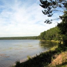
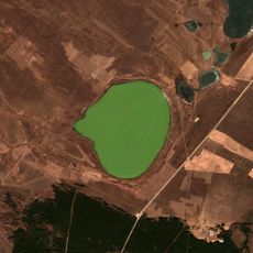
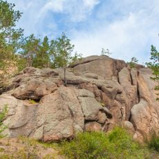
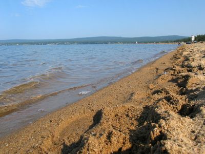
Arakhley, Lake in Zabaykalsky Krai, Russia

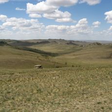
Arakhley is a lake in Zabaykalsky Krai, Russia, set at an elevation of 965 meters. It lies in a basin surrounded by low hills and forest, with several small islands and a shoreline that mixes sandy patches and reeds.

The lake formed in a tectonic depression and has long been a stopover for people moving across the steppe. In the 20th century, nearby collective farms used its water for irrigation and livestock.

Local families often spend summer weekends at the lake, swimming and picnicking on the shore. The name Arakhley comes from the Buryat language, and the area is still used by herders who bring their animals to drink.

The lake is best reached by car from nearby towns, and the roads can be rough in wet weather. Bring warm layers even in summer, as the weather changes quickly, and carry insect repellent for the evenings.

The lake has no surface outlet, so its water level depends mainly on rain and groundwater. In some years, the water recedes far enough to expose small sandy islands that are usually underwater.

The community of curious travelers

AroundUs brings together thousands of curated places, local tips, and hidden gems, enriched daily by 94,526 contributors worldwide.
Start exploring
Location
Elevation above the sea
965 m
Part of
Ivan-Arakhley Lake System
GPS coordinates
52.21556,112.87528
Latest update
November 10, 2026 13:57
Around this place
Alkhanay National Park
Russian Federation

Alkhanay National Park

98.4 mi
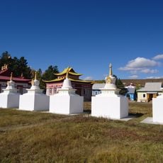
Aginsky Datsan
Russian Federation

Aginsky Datsan

104 mi
Russian Federation

Sunny Mys site of ancient settlement

145.3 mi
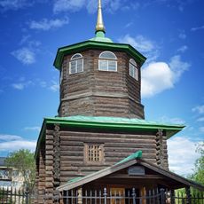
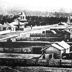
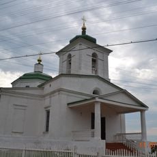
Decabrists Church, Chita
Russian Federation

Decabrists Church, Chita

30.2 mi
Datsan de Tsugol
Russian Federation

Datsan de Tsugol

143.2 mi
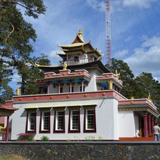
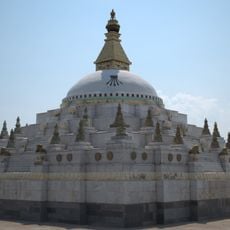
Chitinsky Datsan
Russian Federation

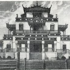
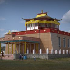
Chitinsky Datsan

29.2 mi
Lake Arey
Russian Federation

Lake Arey

110 mi
Malaya Zabaykalskaya railway
Russian Federation

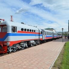
Malaya Zabaykalskaya railway

27.6 mi
Aninsky datsan
Russian Federation

Aninsky datsan

129.2 mi
Egituysky datsan
Russian Federation

Egituysky datsan

92.4 mi
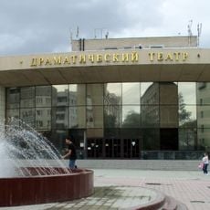
Zabaykalskiy Krayevoy Dramaticheskiy Teatr
Russian Federation

Zabaykalskiy Krayevoy Dramaticheskiy Teatr

29.6 mi
Transbaikalian historical museum in Chita
Russian Federation

Transbaikalian historical museum in Chita

29.6 mi
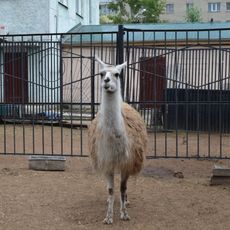
Chita Zoo
Russian Federation

Chita Zoo

29.2 mi
Джарун Хашор
Russian Federation

Джарун Хашор

130.9 mi
Кіжингинський дацан
Russian Federation

Кіжингинський дацан

135.1 mi
Alexander Nevsky Cathedral
Russian Federation

Alexander Nevsky Cathedral

29.4 mi
Selitryanoye Lake
Russian Federation

Selitryanoye Lake

73.2 mi
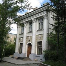
Дом Лопатиной-Гантимуровой
Russian Federation

Дом Лопатиной-Гантимуровой

29.3 mi
Shaman-Gora
Russian Federation

Shaman-Gora

123.3 mi
Покровский монастырь (Чита)
Russian Federation

Покровский монастырь (Чита)

30.4 mi
Спасо-Преображенская церковь (Баргузин)
Russian Federation

Спасо-Преображенская церковь (Баргузин)

166 mi
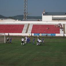
Lokomotiv Stadium
Russian Federation

Lokomotiv Stadium

28.1 mi
Nativity of Christ Church
Russian Federation

Nativity of Christ Church

157 mi
Дом Бутлицкого (Баргузин)
Russian Federation

Дом Бутлицкого (Баргузин)

166 mi
Здание банка (Баргузин)
Russian Federation

Здание банка (Баргузин)

166 mi
Торговое здание купца Лозовского (Баргузин)
Russian Federation

Торговое здание купца Лозовского (Баргузин)

166.1 mi
Forest steppe part of Daursky SNBR
Russian Federation

Forest steppe part of Daursky SNBR

165.2 mi
Дом, в котором жил в ссылке большевик К. Грабовский (Баргузин)
Russian Federation

Дом, в котором жил в ссылке большевик К. Грабовский (Баргузин)

166.1 mi
Show the full map
Reviews
Share your experience

No review yet

Discussions
Start a discussion...

No discussion yet

« Arakhley - Lake in Zabaykalsky Krai, Russia » is provided by Around Us (aroundus.com). Images and texts are derived from Wikimedia project under a Creative Commons license. You are allowed to copy, distribute, and modify copies of this page, under the conditions set by the license, as long as this note is clearly visible.

Discover hidden gems everywhere you go!

From secret cafés to breathtaking viewpoints, skip the crowded tourist spots and find places that match your style. Our app makes it easy with voice search, smart filtering, route optimization, and insider tips from travelers worldwide. Download now for the complete mobile experience.
Around Us App Screenshot
❝

A unique approach to discovering new places❞

— Le Figaro

❝

All the places worth exploring❞

— France Info

❝

A tailor-made excursion in just a few clicks❞

— 20 Minutes

Around Us
Travel Guide & Maps
Download

Send to your phone

QR Code
1

Open the camera app on your mobile.

2

Point at the QR code with your camera. A notification will appear.

3

Tap the notification to open the link.