
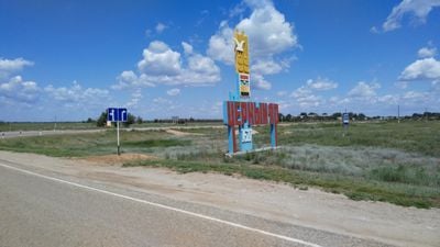
Chernoyarsky District
Chernoyarsky District, human settlement in Russia
Location: Astrakhan Oblast
Inception: 1928
Capital city: Chorny Yar
Website: http://admcherjar.ru
Website: http://admcherjar.ru
GPS coordinates: 48.06028,46.10861
Latest update: May 26, 2025 20:32

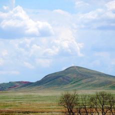
Bolshoye Bogdo
56.3 km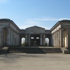
Mortuary in Volzhsky
125 km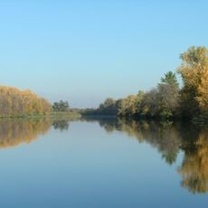
Volga-Akhtuba Floodplain
99 km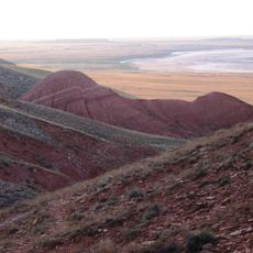
Bogdinsko-Baskunchakski Nature Reserve
59.8 km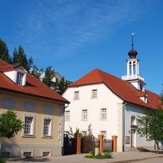
Old Sarepta
125.9 km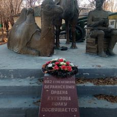
Мы победили! (памятник)
25.3 km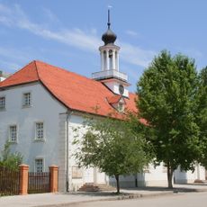
Kirche in Sarepta
125.9 km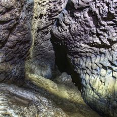
Baskunchakskaya Cave
56.8 km
Мемориальный комплекс «Крыло Икара»
24.8 km
Храм Великой Победы (Большой Царын)
50.3 km
Воскресенско-Мироносицкий женский монастырь
10.5 km
Свято-Троицкий собор
114.5 km
Церковь Михаила Архангела (Ахтубинск)
27 km
Our Lady of Vladimir Church
49.4 km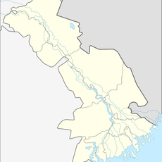
Solonchak
48.9 km
Орда баспаханасының үйі
125.9 km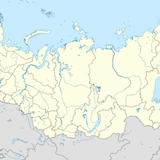
Kochevaya
33.1 km
Razezd 15 km
28.9 km
Thälmann Street 7, Volgograd
125.9 km
Dom aptekarya
126 km
House of Merchants Konyakins
97.4 km
Hotel
126 km
Single brothers house
125.9 km
Obshchinnaya uprava
126 km
Bekker's House
125.9 km
Thälmann Street 5, Volgograd
125.9 km
Thälmann Street 3, Volgograd
125.9 kmReviews
Visited this place? Tap the stars to rate it and share your experience / photos with the community! Try now! You can cancel it anytime.
Discover hidden gems everywhere you go!
From secret cafés to breathtaking viewpoints, skip the crowded tourist spots and find places that match your style. Our app makes it easy with voice search, smart filtering, route optimization, and insider tips from travelers worldwide. Download now for the complete mobile experience.

A unique approach to discovering new places❞
— Le Figaro
All the places worth exploring❞
— France Info
A tailor-made excursion in just a few clicks❞
— 20 Minutes