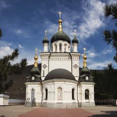
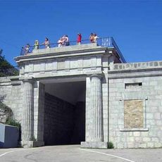
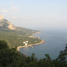
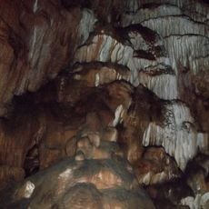
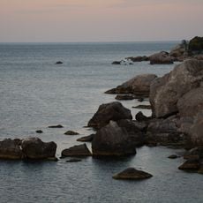
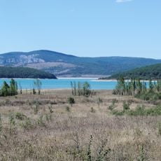
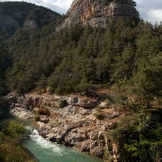
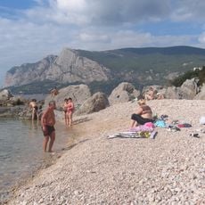
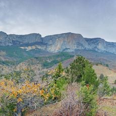
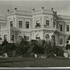
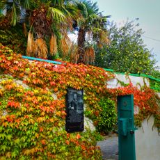
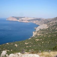
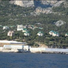
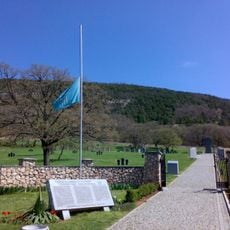
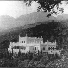
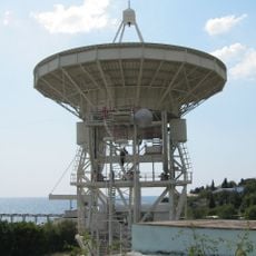
Sanatorne, human settlement in Yalta Municipality, Autonomous Republic of Crimea, territorial dispute, Russia
Location: Yalta Urban Okrug
Location: Yalta Municipality
Elevation above the sea: 79 m
Website: http://w1.c1.rada.gov.ua/pls/z7502/A005?rdat1=03.08.2011&rf7571=1321
GPS coordinates: 44.39833,33.81306
Latest update: March 2, 2025 23:32
Foros Church
2.1 km
Baydar Gate
2.6 km
Laspi Bay
8.8 km
Foros park
2.6 km
Skelska Cave
8.2 km
Batiliman
10.6 km
Chernorechensky reservoir
8.5 km
Chernorechenskij canyon
12.2 km
Kush-Kaya
12.8 km
Baidarsky Zakaznik
6.7 km
Kuznetsov's Palace (Foros)
2.5 km
Foros
2.3 km
Memorial Home of Yulian Semyonov
4.3 km
Cape Aya
14.2 km
Tesseli
3.9 km
Sevastopol - Goncharne German War Cemetery
11.7 km
Tash-Koy
12.6 km
Kokorevs Palace in the Crimea
3.2 km
Morcheka
9.4 km
Дача Понизовкиных
11.2 km
Sardjik
12.6 km
Измолос
12.8 km
Maksimovich's cave
9.4 km
Байдарские ворота (памятник)
2.4 km
Asarane Burun
11.6 km
Merdven-Isar
4.4 km
Isar Baga
12.4 km
Simeiz RT-22
13.2 kmReviews
Visited this place? Tap the stars to rate it and share your experience / photos with the community! Try now! You can cancel it anytime.
Discover hidden gems everywhere you go!
From secret cafés to breathtaking viewpoints, skip the crowded tourist spots and find places that match your style. Our app makes it easy with voice search, smart filtering, route optimization, and insider tips from travelers worldwide. Download now for the complete mobile experience.
A unique approach to discovering new places❞
— Le Figaro
All the places worth exploring❞
— France Info
A tailor-made excursion in just a few clicks❞
— 20 Minutes