Kush-Kaya, Coastal cliffs in Crimea, Ukraine
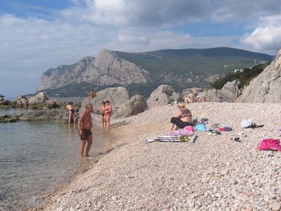
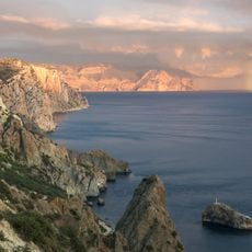
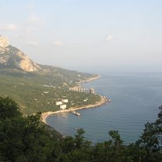
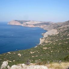
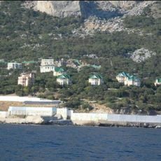
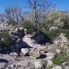
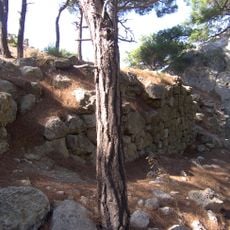
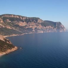
Kush-Kaya is a cliffed coast on the southern tip of Crimea, where limestone walls rise almost vertically from the Black Sea. The formation reaches around 1,600 feet (about 500 meters) at its highest point and runs along a short but dramatic stretch of shoreline near Laspi Bay.
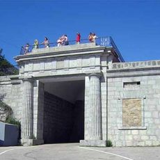
Sailors in antiquity used the cliffs as a natural landmark when navigating the southern Crimean coast, since the rock face is visible from far out at sea. Over the centuries the area remained mostly uninhabited, which kept the formation in its natural state.
The name Kush-Kaya comes from the Crimean Tatar language and means roughly bird rock. Visitors who spend time near the cliffs can often spot birds of prey riding the warm air currents that rise along the southern face.
The easiest starting point is Laspi Bay, from where walking trails lead up toward the top of the cliffs. The terrain is steep and partly unsecured, so sturdy footwear is a good idea before heading out.
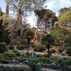
The northern slope of the formation is covered in dense forest and drops gradually, while the southern face falls almost straight into the sea. These two very different landscapes exist within just a short walk of each other.
The community of curious travelers
AroundUs brings together thousands of curated places, local tips, and hidden gems, enriched daily by 60,000 contributors worldwide.