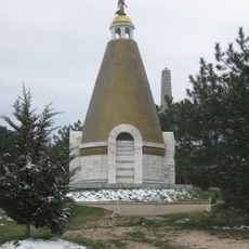
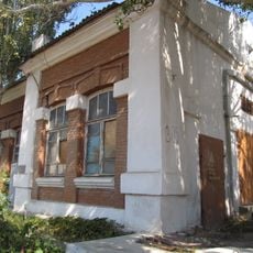
Kamara-Isar, Medieval castle in Crimean Peninsula, Russia
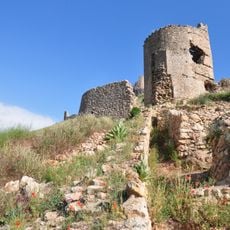
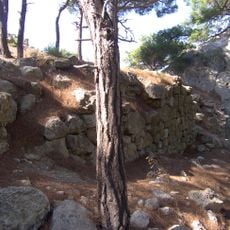
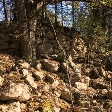
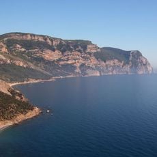
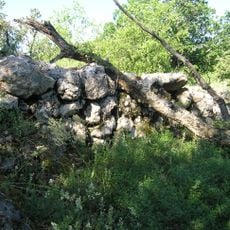
Kamara-Isar is a medieval fortress on the flat top of the rocky hill Ayu-Kaya, also called Khaos, 1 km south of Oboronnoye in the Balaklava district. Its 63×20 m platform is enclosed on the west, south and east by walls 1.2–1.5 m thick of local marble-like limestone laid in lime mortar, now mostly dismantled but standing up to 2.5 m in places. A square 7.5×7.5 m donjon held the southwest flank, a flanking projection the east; traces of buildings, a well or cistern mouth and a small 3×6 m garrison church remain.
Built in the 13th–15th centuries, Kamara-Isar was destroyed by the Mongols in 1278. In the 15th century it probably controlled three villages of the Mangup kadylyk: Chembalo (Balaklava), Kadykoy and Kamary. After the Genoese took Chembalo, the village of Kadykoy passed to them as well.
The fortress's name combines "Kamara", from the village of Kamary, with "isar", a Turkic word for fortress. In the 15th century the castle probably controlled three villages of the Mangup kadylyk: Chembalo (Balaklava), Kadykoy and Kamary. After the Genoese took Chembalo, Kadykoy passed to them as well.
The site lies 1 km south of Oboronnoye in the Balaklava district, on the Ayu-Kaya hill; access is on foot over uneven ground, so sturdy shoes help. The walls stand at most 2.5 m high and the south-west corner tower measures 7.5×7.5 m. Look for the round mouth of a well or cistern beside one tower and the 3×6 m foundations of the garrison church at the highest point.
The fortress had two square towers: a 7.5×7.5 m donjon on the south-western flank and a flanking projection on the east. Near one tower a round opening marks a well or cistern, and at the highest point stand the ruins of a small 3×6 m garrison church, excavated in 2011.
The community of curious travelers
AroundUs brings together thousands of curated places, local tips, and hidden gems, enriched daily by 94,083 contributors worldwide.