
Чегдоминське міське поселення, human settlement in Verkhnebureinsky District, Khabarovsk Krai, Russia
Location: Verkhnebureinsky District
Capital city: Chegdomyn
Website: http://www.chegdomun.ru/
Website: http://chegdomun.ru
GPS coordinates: 51.11670,133.00000
Latest update: April 14, 2025 18:12
Khabarovsk Bridge
321.2 km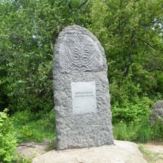
Petroglyphs of Sikachi-Alyan
324.2 km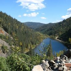
Lake Amut
240.6 km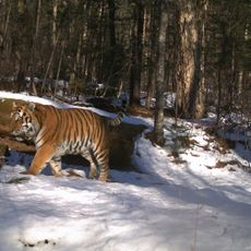
Bastak Nature Reserve
242 km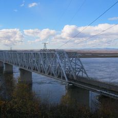
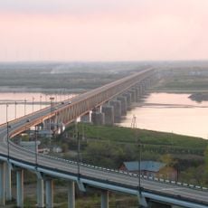
Komsomolsk-on-Amur road-rail bridge
292.1 km
Bureya Nature Reserve
142.8 km
Bolon Nature Reserve
269.3 km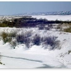
Khingan Nature Reserve
296.4 km
Bureinsky Ridge
97.4 km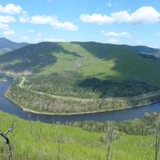
Anyuysky National Park
314.3 km
Bolon
282.4 km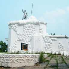
Volochaevsky Memorial
303.8 km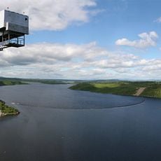
Bureya Reservoir
211.6 km
Nora Nature Reserve
241.8 km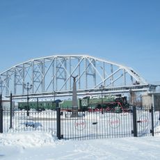
Музей Амурского моста
321.1 km
Beit T'shuva
260.3 km
Lake Evoron
247.8 km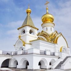
Saint Seraphim of Sarov church in Khabarovsk
323.2 km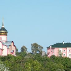
Petropavlovskiy Monastery (Khabarovsk Krai)
326 km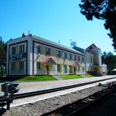
Far East Children's Railway
327.3 km
Силинский лес
290 km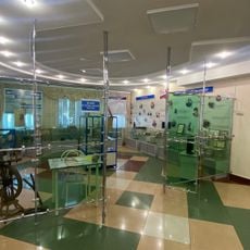
Музей истории пенсий
258.4 km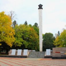
Victory Square
258.9 km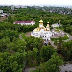
Park Severny, Khabarovsk
323.2 km
Lukashov Nature Park
325.8 km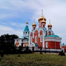
Orthodox cathedral of Saint Elijah the Prophet in Komsomolsk-on-Amur
292.5 km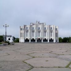
Drama Theatre of Komsomolsk-on-Amur
289.4 km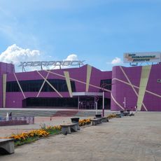
Kinoteatr Khabarovsk
322.1 kmReviews
Visited this place? Tap the stars to rate it and share your experience / photos with the community! Try now! You can cancel it anytime.
Discover hidden gems everywhere you go!
From secret cafés to breathtaking viewpoints, skip the crowded tourist spots and find places that match your style. Our app makes it easy with voice search, smart filtering, route optimization, and insider tips from travelers worldwide. Download now for the complete mobile experience.

A unique approach to discovering new places❞
— Le Figaro
All the places worth exploring❞
— France Info
A tailor-made excursion in just a few clicks❞
— 20 Minutes