
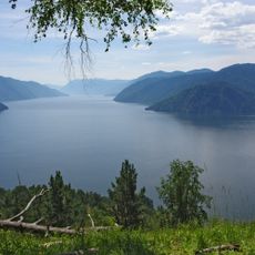
Teletskoe
117.6 km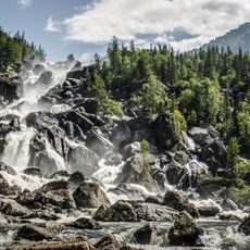
Altai Nature Reserve
74.7 km
Khakasski Nature Reserve
122.2 km
Shorian National Park
49.6 km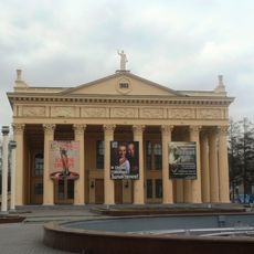
Novokuznetsk Drama Theatre
134.5 km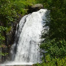
Korbu Waterfall
97.8 km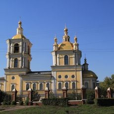
Transfiguration Cathedral, Novokuznetsk
134.9 km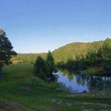
Salair National Park
129.8 km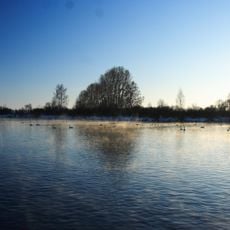
Lake Svetloye
136 km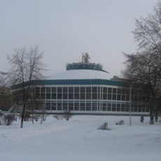
Novokuznetsk State Circus
134 km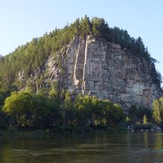
Iconostas cliff
50.1 km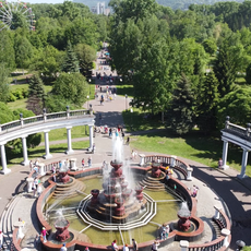
Metallurgists' Garden
134.4 km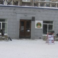
Musée ethnographique régional de Novokouznetski
135 km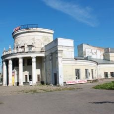
Kommunar Cinema, Novokuznetsk
134.3 km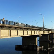
Кузнецкий мост (Новокузнецк)
134.3 km
Novokuznetsk Art Museum
134 km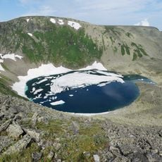
Большая Кольтайга
106.5 km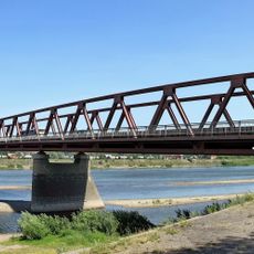
Байдаевский мост
134.2 km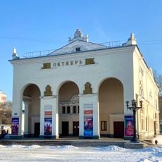
Cinema October
135.2 km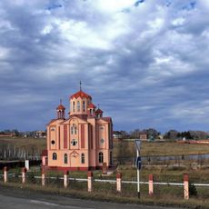
Սուրբ Գրիգոր Լուսավորիչ եկեղեցի (Սոսնովկա)
124.3 km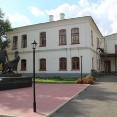
Здание уездного училища (Новокузнецк)
134.8 km
527 km
38 km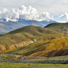
Saylyugemsky National Park
67.7 km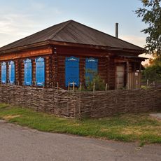
Shukshin house, Srostki
130.2 km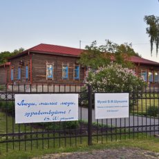
The school in Srostki village, where V. M. Shukshin studied and then worked
129.9 km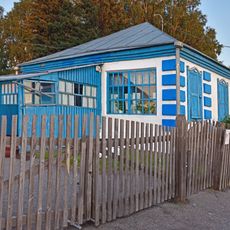
V.M. Shukshin's mother's house
129.5 km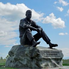
Piket Mount, Srostki
129.2 km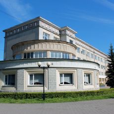
Palace of Metallurgists
134.5 kmReviews
Visited this place? Tap the stars to rate it and share your experience / photos with the community! Try now! You can cancel it anytime.
Discover hidden gems everywhere you go!
From secret cafés to breathtaking viewpoints, skip the crowded tourist spots and find places that match your style. Our app makes it easy with voice search, smart filtering, route optimization, and insider tips from travelers worldwide. Download now for the complete mobile experience.

A unique approach to discovering new places❞
— Le Figaro
All the places worth exploring❞
— France Info
A tailor-made excursion in just a few clicks❞
— 20 Minutes