
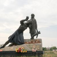
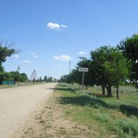
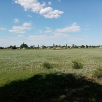
Routchïvska, human settlement in Rozdolne Raion, Autonomous Republic of Crimea, Russia
Location: Rozdolne Raion
Capital city: Ruchyi
GPS coordinates: 45.78472,33.66111
Latest update: March 8, 2025 23:29
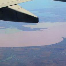
Syvash Bay
61.8 km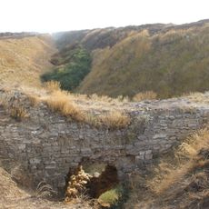
Perekopsky shaft
40.4 km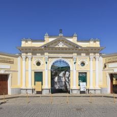
Eupatorian Kenassas
69 km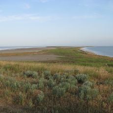
Azov-Syvash National Nature Park
66.3 km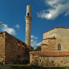
Tekke of dervishes
68.7 km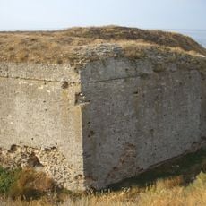
Perekop fortress
40.4 km
Swan Islands Nature Reserve
15.2 km
Малий Єрусалим
68.7 km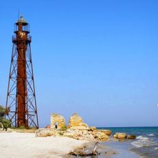
Dzharylhach lighthouse
52.8 km
Dzharylhach National Nature Park
66.4 km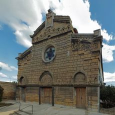
Egie Kapai Synagogue
69 km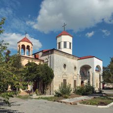
Armenian church in Eupatoria Crimea
68.7 km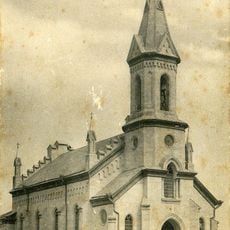
Church of the Heart of Jesus Christ Crimea
41.1 km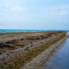
Bakalska spit
37.8 km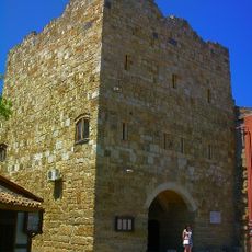
Old city tower in Eupatoria
68.9 km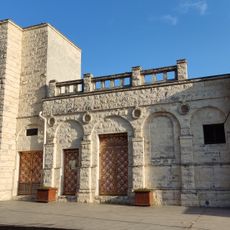
Merchant synagogue
68.9 km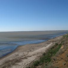
Karkinits'ka Zatoka State Zakaznik
18.8 km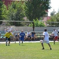
Khimik Stadium, Armiansk
37.1 km
Музей історії та етнографії кримських караїмів імені С. І. Кушуль
69 km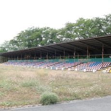
Yunist Stadium, Kalinine
48.6 km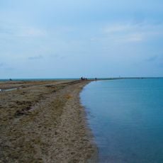
Bakalskaya Cove
35 km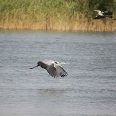
Sasyk Zakaznik
62.6 km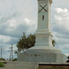
Crimean War memorial in Eupatoria
67.4 km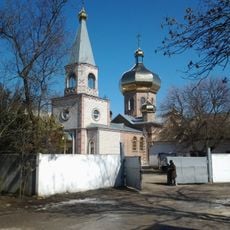
Church of the Ascension of Christ in Krasnoperekopsk
22.3 km
Karaeva Street, 4
69 km
Postal Museum
69 km
Джарилгацький заказник
58.2 km
Domuzla sanctuary
47.6 kmReviews
Visited this place? Tap the stars to rate it and share your experience / photos with the community! Try now! You can cancel it anytime.
Discover hidden gems everywhere you go!
From secret cafés to breathtaking viewpoints, skip the crowded tourist spots and find places that match your style. Our app makes it easy with voice search, smart filtering, route optimization, and insider tips from travelers worldwide. Download now for the complete mobile experience.

A unique approach to discovering new places❞
— Le Figaro
All the places worth exploring❞
— France Info
A tailor-made excursion in just a few clicks❞
— 20 Minutes