
Chapaieve, human settlement in Krasnohvardiiske Raion, Republic of Crimea, Russia
Location: Восходненское сельское поселение
GPS coordinates: 45.53250,34.42500
Latest update: March 5, 2025 18:38
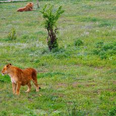
Taigan Safari Park
56.3 km
Azov-Syvash National Nature Park
63.6 km
Taygansk Reservoir
56.9 km
Chokurcha
68 km
Gagarin park, Simferopol
68.1 km
Chongar bridges
51.7 km
Belogorsk Reservoir
58.8 km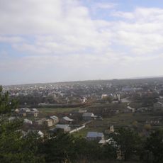
Bohurcha (Kamenka)
64 km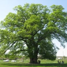
Suvorov's oak
52.6 km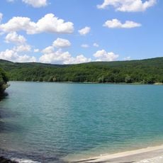
Balonov Reservoir
61.5 km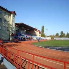
Fiolent Stadium
68.4 km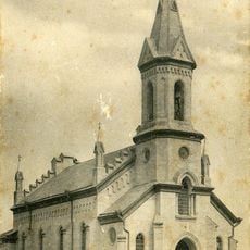
Church of the Heart of Jesus Christ Crimea
25.9 km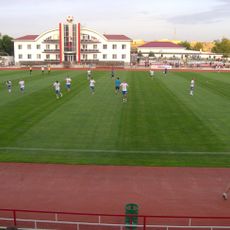
KT Sport Arena
64.4 km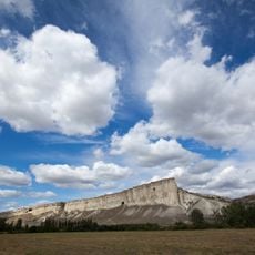
Гора Ак-Кая
51 km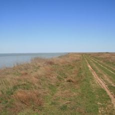
Kalinovsky Nature Park
34.6 km
Kermen Qır
68 km
Eski Abdal (Zagrodne)
65.8 km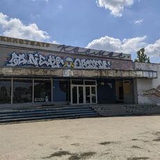
Kinoteatr Kosmos
68.5 km
Surb Praktchi church
62.7 km
Karasu-Bashi
63.2 km
Chornozemne
33.9 km
Tash han karavansaray, Belogorsk
54.7 km
Kubalach Botanic Sanctuary
67.4 km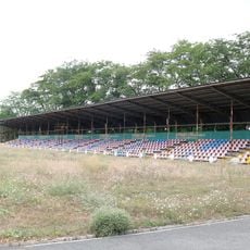
Yunist Stadium, Kalinine
17.2 km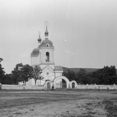
Saint Nicholas church in Zuya
53.8 km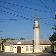
Chokurcha Mosque
67.6 km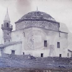
Джума-Джамі (Шейхкой)
51.5 km
Nevsky square, Simferopol
67.3 kmReviews
Visited this place? Tap the stars to rate it and share your experience / photos with the community! Try now! You can cancel it anytime.
Discover hidden gems everywhere you go!
From secret cafés to breathtaking viewpoints, skip the crowded tourist spots and find places that match your style. Our app makes it easy with voice search, smart filtering, route optimization, and insider tips from travelers worldwide. Download now for the complete mobile experience.

A unique approach to discovering new places❞
— Le Figaro
All the places worth exploring❞
— France Info
A tailor-made excursion in just a few clicks❞
— 20 Minutes