
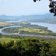
Ореховское сельское поселение
Ореховское сельское поселение, human settlement in Dalnerechensky District, Primorsky Krai, Russia
Location: Dalnerechensky District
Capital city: Orekhovo
GPS coordinates: 45.54682,134.36676
Latest update: April 12, 2025 20:49
Zhenbao Island
112 km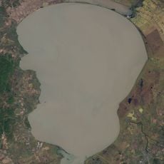
Khanka
163.7 km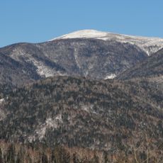
Sikhote-Alin Nature Reserve
164.3 km
Ussurisky Nature Reserve
253 km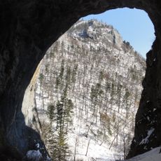
Chertovy Vorota Cave
145.4 km
Lazovsky Zapovednik
270 km
Khanka Nature Reserve
202.1 km
Bikin National Park
209.5 km
Zov Tigra National Park
218.7 km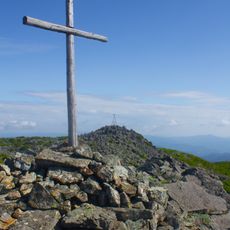
Olkhovaya
251.3 km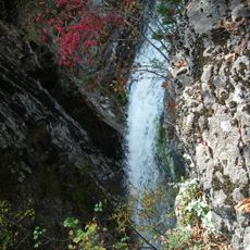
Беневские водопады
261.3 km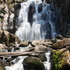
Waterfall on Left Gorbaty Spring
272 km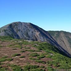
Oblachnaya
206.5 km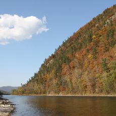
Udegeyskaya Legenda National Park
87 km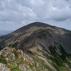
Ko Mountain
243.2 km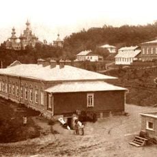
Svyato-Troitsky Nikolaevsky Monastery in Primorye
75.8 km
Zerkalnaya Cove
184.8 km
Lysaya
259.8 km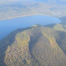
Artyomovka Reservoir
270.8 km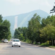
Obzornaya
179.4 km
Balyuzek peninsula
201.5 km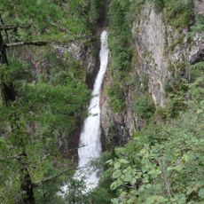
Amginsky Waterfall
232.1 km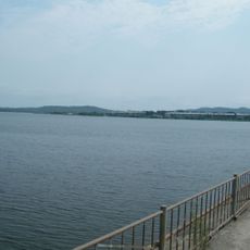
Luchegorsk Reservoir
100.7 km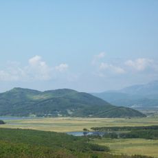
Zerkalnoe
181.9 km
V.K. Komarov Mountain-Taiga Station
270.8 km
Venyukov Pass
146.5 km
Lapshina
135.5 km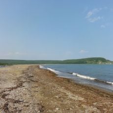
Sobolevka
291.6 kmReviews
Visited this place? Tap the stars to rate it and share your experience / photos with the community! Try now! You can cancel it anytime.
Discover hidden gems everywhere you go!
From secret cafés to breathtaking viewpoints, skip the crowded tourist spots and find places that match your style. Our app makes it easy with voice search, smart filtering, route optimization, and insider tips from travelers worldwide. Download now for the complete mobile experience.

A unique approach to discovering new places❞
— Le Figaro
All the places worth exploring❞
— France Info
A tailor-made excursion in just a few clicks❞
— 20 Minutes