Dinder National Park, National park in eastern Sudan.
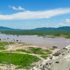
Dinder National Park covers about 10,291 km² on both sides of the seasonal Dinder River, bounded north by the Rahad River, across Sennar, Blue Nile and Gedaref states and the Ethiopian border. Its three ecosystems are riparian riverine zones, woodland, and maya oxbow lakes that hold water after the rivers dry. Dense dom, heglig and talh trees shade the riverbanks, with green hills such as Jebel Abu al-Bashar and Jebel Majan nearby.
The park was founded in 1935 and joined the World Network of Biosphere Reserves in 1979 to protect its diverse habitats. This international recognition helped strengthen and maintain the area's protected status over time.
The name Dinder comes from the seasonal Dinder River, whose shallow, steep channel descends from the Ethiopian highlands; the Arabic word maya names the pools where water lingers after the floods, such as Mayat Ras Amir and Mayat Mubarak. Visitors reach the park through Dinder town, 93 km northwest, and the rainy season from July to November feeds these pools.
The park lies roughly 400 kilometers southeast of Khartoum and requires a permit to visit, with visitors needing to bring their own supplies. On-site facilities are minimal, so proper planning ahead of arrival is essential.
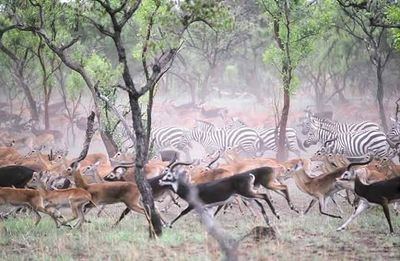
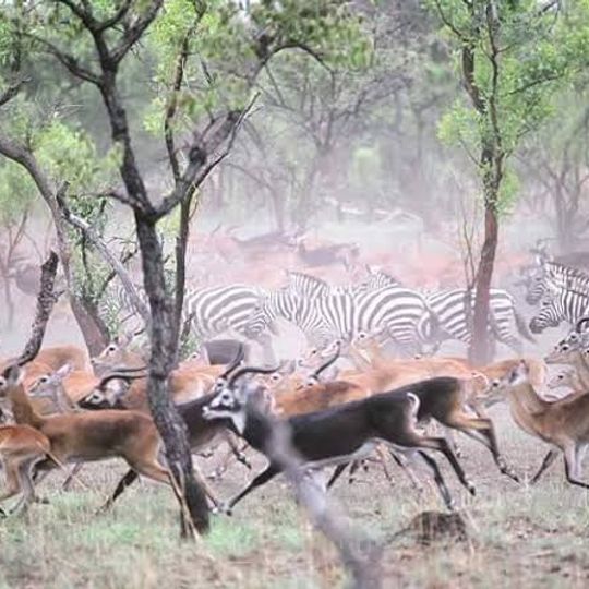
Dinder sits on the ecotone between the Sahel and the Ethiopian Highlands, and its seasonal rivers feed shallow pools called mayas, such as Maya Ras Amir and Maya Mubarak. These oxbow lakes hold water through the dry months and draw lions, ostriches and migrating birds. Game counts between 1971 and 2001 recorded steep declines, with waterbuck down 85% and reedbuck 72%.
The community of curious travelers
AroundUs brings together thousands of curated places, local tips, and hidden gems, enriched daily by 93,356 contributors worldwide.