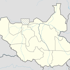
Radom National Park, Protected reserve in South Darfur, Sudan.
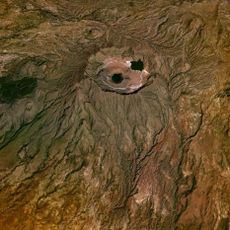
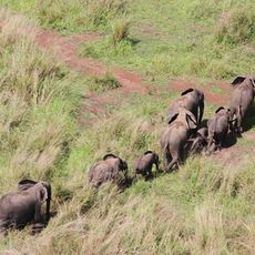
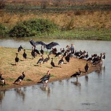
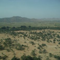
Radom National Park is a woodland reserve in South Darfur, southwestern Sudan, bounded on its edges by two rivers. The terrain is mainly savanna woodland crossed by open patches and seasonal watercourses that shape how the land looks and how wildlife moves through it.
The area was recognized as a biosphere reserve in 1979 and received national park status in 1981. Ongoing conflict in the region later made management difficult, and the park has had limited oversight for many years.
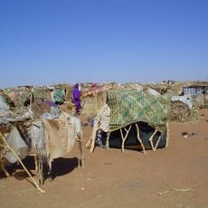
Nomadic communities cross the area with their herds in search of water and grazing land, especially during the dry season. These movements follow old routes passed down over generations, shaping how the land is used to this day.
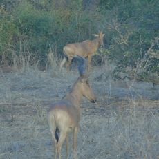
Between November and March the weather is drier and cooler, making it easier to move through the terrain and spot wildlife near water sources. Given the remote location and the security situation in the region, it is worth checking current conditions from reliable sources before planning any visit.
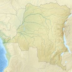
The park sits on the divide between the Nile and Congo river basins, meaning rain falling on one side eventually drains toward Egypt while rain on the other drains toward the Atlantic. This boundary between two of Africa's largest river systems runs straight through the woodland.
The community of curious travelers
AroundUs brings together thousands of curated places, local tips, and hidden gems, enriched daily by 60,000 contributors worldwide.