Stuorrajekna, Glacier in Arjeplog Municipality, Sweden
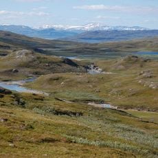
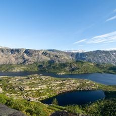
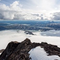
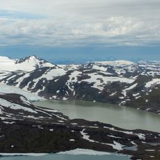
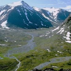
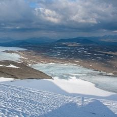
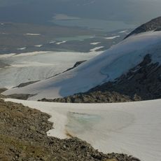
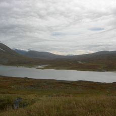
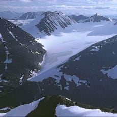
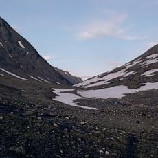
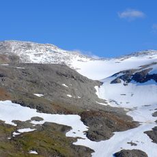
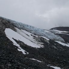
Stuorrajekna is a glacier in the Arjeplog Municipality of Swedish Lapland, spanning across dozens of square kilometers near the Norwegian border. Its surface shows natural patterns, deep crevasses, and a constantly shifting structure of ice and snow.
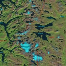
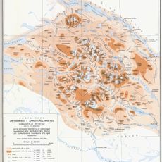
In the late 1800s, researchers such as Fredrik Svenonius and Jonas Westman conducted early field studies and created maps of this ice formation. These first scientific investigations laid the groundwork for understanding the glacier's behavior and changes.
The name comes from the Sami language, connecting it to indigenous peoples who have inhabited these northern lands for centuries. Local communities see this frozen expanse as part of their ancestral environment.
Visitors need specialized equipment such as crampons, ice axes, and thermal clothing for glacier exploration. Guided tours are available and teach essential safety techniques for walking on the ice surface.
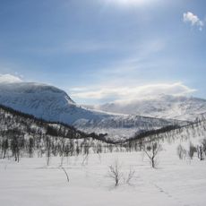
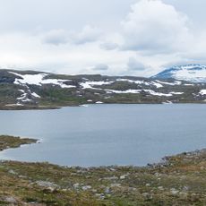
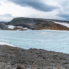
Over many decades, this glacier has withdrawn noticeably, and a new rocky peak emerged on its surface. These changes are signs of larger shifts happening in the climate of this arctic region.
The community of curious travelers
AroundUs brings together thousands of curated places, local tips, and hidden gems, enriched daily by 60,000 contributors worldwide.