Kungssten, Residential district in western Gothenburg, Sweden
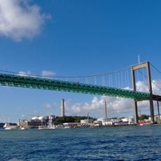
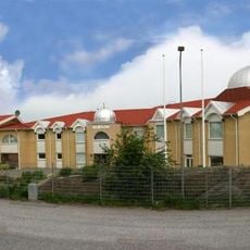
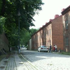
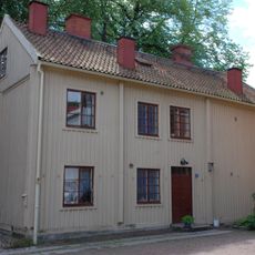
Kungssten is a residential district in western Gothenburg situated along Västerleden road, roughly one kilometer south of the Älvsborg Bridge foundation. It features small houses and narrow streets arranged in a typical Swedish neighborhood pattern.
The area marked the boundary between Västra Frölunda parish in Askim district and Örgryte parish in Sävedal district until 1945. This administrative division shaped the territory for many decades.
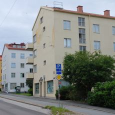
The name Kungssten was invented in 1945 and has no historical tradition behind it; until then the stop and area were called Stadsgränsen, marking the old municipal boundary. Along Långedragsvägen, shops such as a bakery, jeweller, florist, sweet shop and hairdresser serve the neighbourhood.
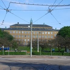
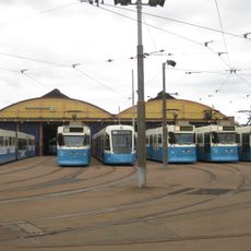
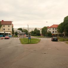
Kungssten is a junction where bus and tram lines meet along Långedragsvägen, with the residential area on the hill north of the road reached by narrow, winding streets. The stop was renamed Kungssten on 30 October 1945, when it had previously been called Stadsgränsen.
The residential zone spreads across a mountain that continues toward the riverside area and becomes known as Sjöbergen in that section. This geological link shows how the terrain connects different neighborhoods.
The community of curious travelers
AroundUs brings together thousands of curated places, local tips, and hidden gems, enriched daily by 94,020 contributors worldwide.