
Kyrkfjärden, en vik i Vaxholms och Österåkers kommuner
Location: Österåker Municipality
Location: Vaxholm Municipality
Location: North Baltic Sea Water District
Shares border with: Stora Värtan
GPS coordinates: 59.43389,18.18778
Latest update: March 29, 2025 03:58
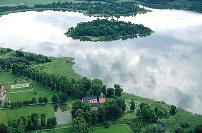
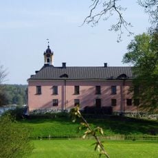
Rydboholm Castle
704 m
Näsby Castle
5.8 km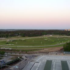
Täby Racecourse
6 km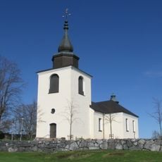
Östra Ryds Church
1.7 km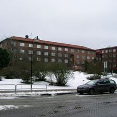
Military Archives of Sweden
5.2 km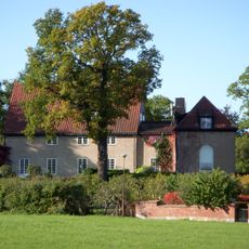
Villa Lagerkrantz
6 km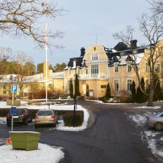
Svalnäs gård
6.1 km
Svalnäs
5.9 km
Villa Ranängen
6 km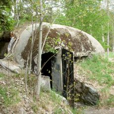
Skavlötens kulsprutebunkrar
5.5 km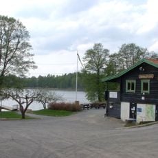
Skavlöten
5.9 km
Bogesundslandet
4 km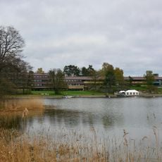
Skåvsjöholm
4.1 km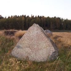
Uppland Runic Inscription 171
4 km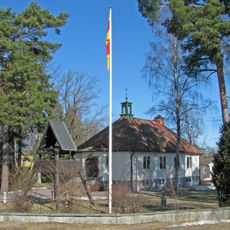
Sankt Olofs kyrka, Täby
4.3 km
Studentbostäder på Bosön
6 km
Östa
5.8 km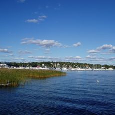
Viggbyholms Båtklubb
4.4 km
Rönninge by-Skavlöten
5.2 km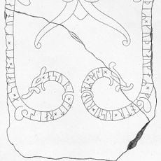
Uppland Runic Inscription 167
1.7 km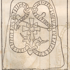
Uppland Runic Inscription 134
4.9 km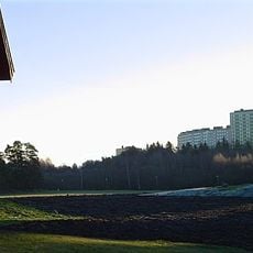
Rönninge by
4.9 km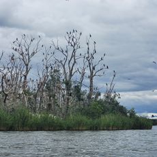
The islands in the Stora Värtan nature reserve
5.2 km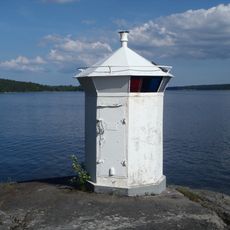
Västra Haga lighthouse
4.6 km
Skavlöten, public bath
6 km
Österåker 21:1
6 km
Skansberget
5.4 km
Täcka Udden
6.2 kmReviews
Visited this place? Tap the stars to rate it and share your experience / photos with the community! Try now! You can cancel it anytime.
Discover hidden gems everywhere you go!
From secret cafés to breathtaking viewpoints, skip the crowded tourist spots and find places that match your style. Our app makes it easy with voice search, smart filtering, route optimization, and insider tips from travelers worldwide. Download now for the complete mobile experience.

A unique approach to discovering new places❞
— Le Figaro
All the places worth exploring❞
— France Info
A tailor-made excursion in just a few clicks❞
— 20 Minutes