
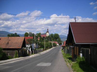
Závadka nad Hronom, municipality of Slovakia
Location: Brezno District
Inception: 1611
Elevation above the sea: 627 m
Website: http://www.zavadkanadhronom.sk
Website: http://zavadkanadhronom.sk
GPS coordinates: 48.85000,19.91667
Latest update: April 7, 2025 10:13
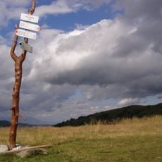
E8 European long distance path
7.2 km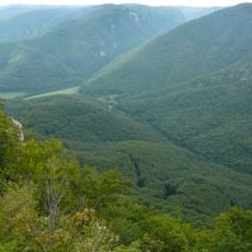
Muranska planina National Park
10.3 km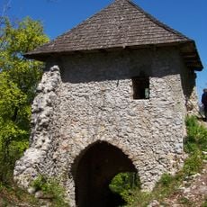
Muráň Castle
14.6 km
Fabova hoľa
8.9 km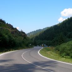
Čertovica
14.6 km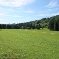
Veľká lúka
13.9 km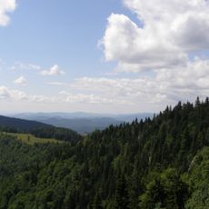
Kľak
8.7 km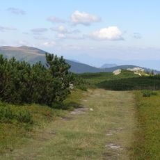
Veľký bok
10.8 km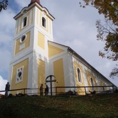
Pohorela church
7.7 km
Sedlo Burda
9.8 km
Orlová
13.2 km
Veľká Vápenica
8.6 km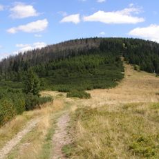
Andrejcová
10 km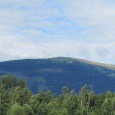
Bartková
12.5 km
Zlatnica
14.2 km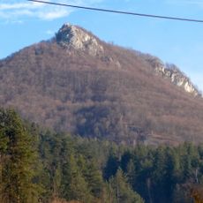
Cigánka
14.6 km
Zlatnianske skalky
11.9 km
Stredná hoľa
14.6 km
Homôľka
7.7 km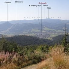
Heľpianske podolie
2.7 km
Havrania Dolina
12.4 km
Priehyba (geomorfologická část)
7.2 km
Cigánka
14.6 km
Mala Stozka
8.4 km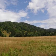
Fabova hoľa (prírodná rezervácia)
8.6 km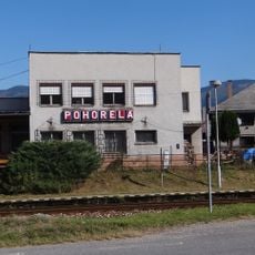
Pohorella
7.1 km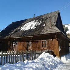
Banícky dom
14.6 km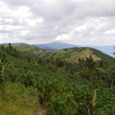
Zadnia Hoľa
7.1 kmReviews
Visited this place? Tap the stars to rate it and share your experience / photos with the community! Try now! You can cancel it anytime.
Discover hidden gems everywhere you go!
From secret cafés to breathtaking viewpoints, skip the crowded tourist spots and find places that match your style. Our app makes it easy with voice search, smart filtering, route optimization, and insider tips from travelers worldwide. Download now for the complete mobile experience.

A unique approach to discovering new places❞
— Le Figaro
All the places worth exploring❞
— France Info
A tailor-made excursion in just a few clicks❞
— 20 Minutes