Chest opened
+${chestReward.xp} XP
Explorer
NOUVEAU ×${chestReward.collectible.quantity}
tapez pour fermer
Chest locked

Open chests in the app

Around Us is built for your phone — chests unlock when you walk, explore and capture nearby places.

Enable Location

We need your location to show you interesting places around you

Discover nearby places

Find interesting locations and hidden gems around you

Precise directions

Get accurate directions and distances to places

Your location is never shared with other users. It's only used when you tap the location button.

Low Tatras

Log in to your account

Start exploring — it's free

Trusted by 72,884 travelers worldwide

Continue with Google
Continue with Apple
or

We will send you a code to connect

By continuing, you accept our Terms and Conditions and our Privacy Policy

Check your inbox

We've sent a pincode in your inbox. Please enter the code below.

Low Tatras
Discussion Reviews 2 Photos
19.1k Popularity

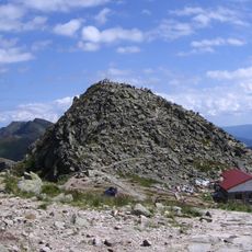
Low Tatras, Mountain range in Central Slovakia.

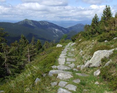
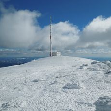
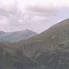
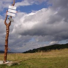
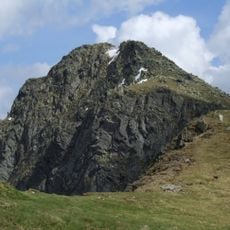
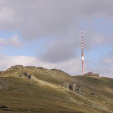
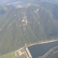
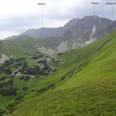
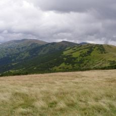
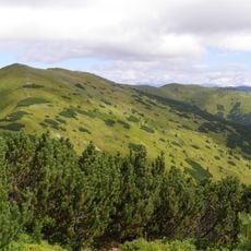
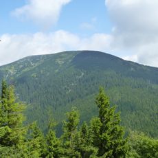
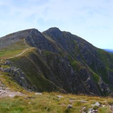
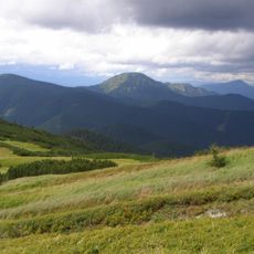
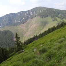
The Low Tatras stretch across central Slovakia, composed of limestone peaks with heights exceeding 2,000 meters spread across five districts. A network of marked trails crosses the range, linking mountain shelters and providing access to different valleys and slopes.

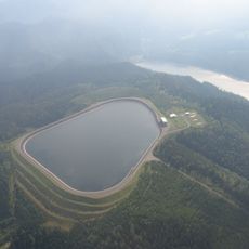
The range received protected status in 1978 when designated as a national park to safeguard its natural environment. This designation established frameworks for managing the landscape and developing sustainable access for visitors.

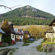
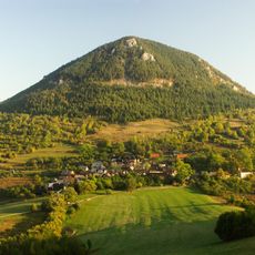
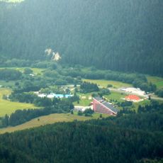
Mountain communities on the slopes maintain their heritage through local celebrations and folk traditions that reflect the region's rural identity. Life in these villages follows seasonal patterns, and visitors can experience traditional crafts and customs in daily interactions.

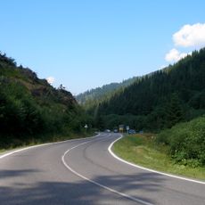
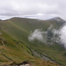
Visitors navigate the range using marked hiking trails that link mountain shelters offering food and accommodation throughout the year. The walking season runs best from late spring through early autumn, when snow melts and trails are most accessible.

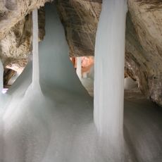
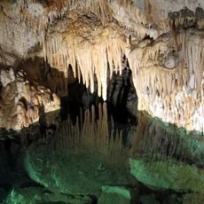
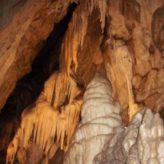
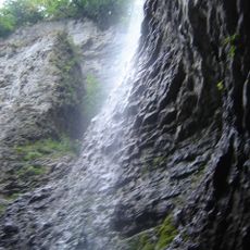
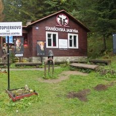
An extensive cave system with approximately 41 kilometers of passages runs beneath the range, making it Slovakia's longest underground complex. Parts of this cavern network are open to visitors, revealing impressive rock formations and underground streams.

The community of curious travelers

AroundUs brings together thousands of curated places, local tips, and hidden gems, enriched daily by 60,000 contributors worldwide.

Start exploring
Location
Location
Elevation above the sea
2,043 m
Part of
Tatra Mountains
GPS coordinates
48.95000,19.50000
Latest update
December 7, 2025 10:08
Reviews
Share your experience

No review yet

Discussions
Start a discussion...

No discussion yet

« Low Tatras - Mountain range in Central Slovakia » is provided by Around Us (aroundus.com). Images and texts are derived from Wikimedia project under a Creative Commons license. You are allowed to copy, distribute, and modify copies of this page, under the conditions set by the license, as long as this note is clearly visible.

Discover hidden gems everywhere you go!

From secret cafés to breathtaking viewpoints, skip the crowded tourist spots and find places that match your style. Our app makes it easy with voice search, smart filtering, route optimization, and insider tips from travelers worldwide. Download now for the complete mobile experience.

Around Us App Screenshot

A unique approach to discovering new places

Le Figaro

All the places worth exploring

France Info

A tailor-made excursion in just a few clicks

20 Minutes

Around Us
Travel Guide & Maps
Download

Send to your phone

QR Code
1

Open the camera app on your mobile.

2

Point at the QR code with your camera. A notification will appear.

3

Tap the notification to open the link.