Mięguszowiecki Szczyt Czarny, Mountain peak in High Tatras, Slovakia.
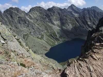
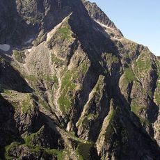
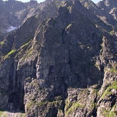
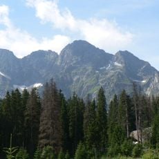
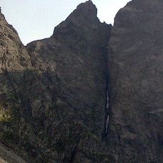
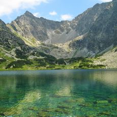
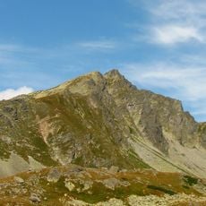
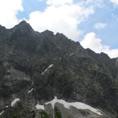
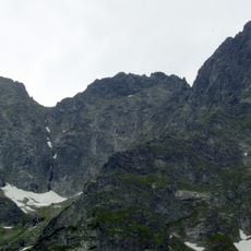
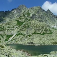
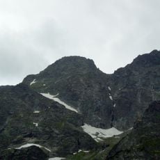
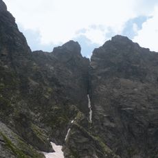
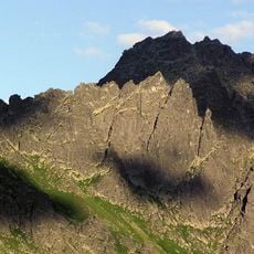
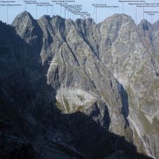
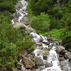
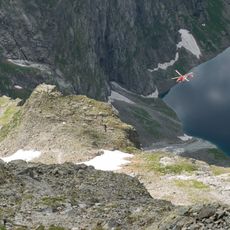
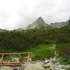
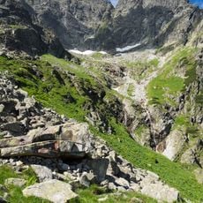
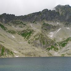
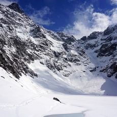
Mięguszowiecki Szczyt Czarny is a granite peak in the High Tatras standing at approximately 2,400 meters, marked by steep rock faces and multiple ridges. The mountain separates several valleys and creates dramatic profiles when viewed from different angles across the range.
The first documented ascent occurred on August 9, 1903, when Antonina Englisch, Karol Englisch, and guide Johann Hunsdorfer summited during summer conditions. This climb marked an early chapter in the mountaineering exploration of the Tatras.
The peak carries different names in Polish and Slovak languages, each tied to the local communities that have shared these mountains for centuries. The bilingual naming reflects how the Tatras belong to both sides of the border equally.
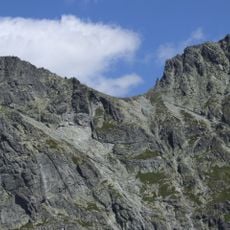
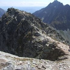
Reaching the summit requires advanced climbing skills and proper mountaineering equipment due to exposed rock sections and steep terrain. Most approaches begin from established hiking trails and mountain huts located lower in the range.
The northern slopes host about 70 plant species including mountain buttercup and various saxifrage types that thrive in both granite and limestone rock. This botanical variety is unexpected given the peak's harsh, windswept exposure.
The community of curious travelers
AroundUs brings together thousands of curated places, local tips, and hidden gems, enriched daily by 60,000 contributors worldwide.