
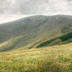
Ostré Brdo, mountain in Slovakia
Location: Ružomberok District
Elevation above the sea: 1,391 m
GPS coordinates: 48.89921,19.10405
Latest update: May 17, 2025 10:37
Ostredok
1.7 km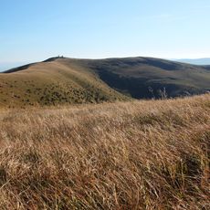
Krížna
3.1 km
Borišov
4.8 km
Kráľova studňa
4.6 km
Ploská
4 km
Suchý vrch
1.7 km
Veľký Šturec
4.9 km
Čierny kameň
5 km
Majerova skala
4.1 km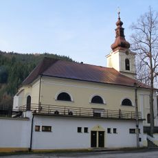
Basilica of the Visitation, Staré Hory
7.3 km
Javorina
6.4 km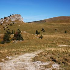
Kráľova skala
4.5 km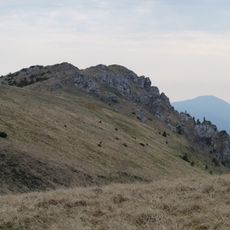
Suchý vrch
1.5 km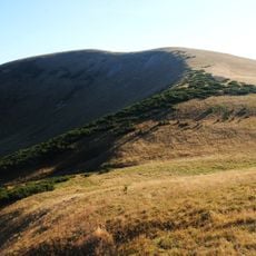
Frčkov
2 km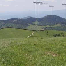
Smrekov
6.1 km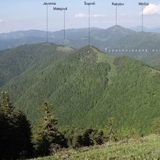
Šoproň
5.4 km
Minčol
6.9 km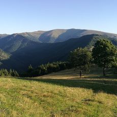
Japeň
6.9 km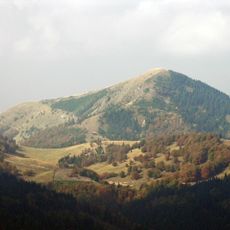
Borišov
5.9 km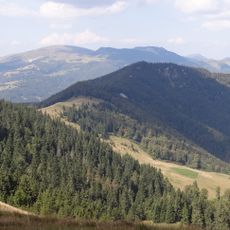
Čierna hora
6.9 km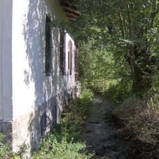
Starohorský Potok
5.7 km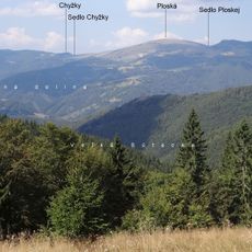
Chýžky
2.8 km
Prašnické sedlo
2.8 km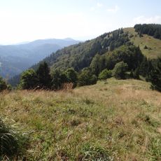
Motyčská hoľa
6.9 km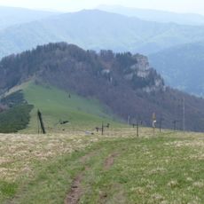
Líška
3.7 km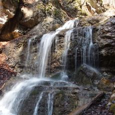
Borišovský vodopád
5.8 km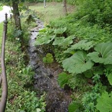
Jelenský potok
7.2 km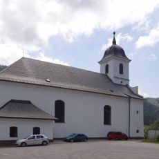
Býv. kostol Očisťovania P. M.
6.2 kmReviews
Visited this place? Tap the stars to rate it and share your experience / photos with the community! Try now! You can cancel it anytime.
Discover hidden gems everywhere you go!
From secret cafés to breathtaking viewpoints, skip the crowded tourist spots and find places that match your style. Our app makes it easy with voice search, smart filtering, route optimization, and insider tips from travelers worldwide. Download now for the complete mobile experience.

A unique approach to discovering new places❞
— Le Figaro
All the places worth exploring❞
— France Info
A tailor-made excursion in just a few clicks❞
— 20 Minutes