·

Enable Location

We need your location to show you interesting places around you

Discover nearby places

Find interesting locations and hidden gems around you

Precise directions

Get accurate directions and distances to places

Your location is never shared with other users. It's only used when you tap the location button.

Čierny kameň

Log in to your account

Start exploring — it's free

Trusted by 62,658 travelers worldwide

Continue with Google
Continue with Apple
or

We will send you a code to connect

By continuing, you accept our Terms and Conditions and our Privacy Policy

Check your inbox

We've sent a pincode in your inbox. Please enter the code below.

Čierny kameň

Čierny kameň, Mountain summit in Ružomberok District, Slovakia

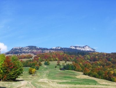
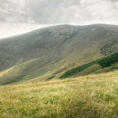
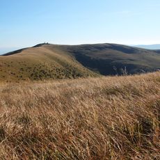
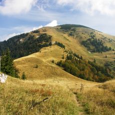
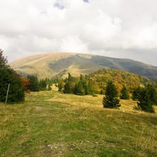
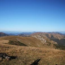
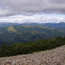
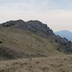
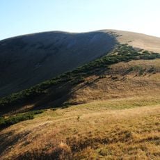
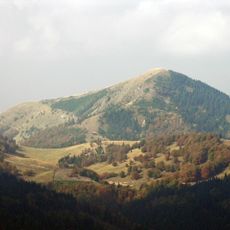
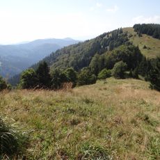
Čierny kameň is a summit in the Greater Fatra area that reaches 1,479 meters and features prominent rock outcrops standing out against softer grassy slopes. The terrain combines rocky formations with gentler landscape sections that characterize this mountain region.

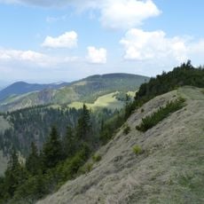
The mountain area gained official protection status in 1964, securing approximately 67 hectares of undisturbed vegetation between Čierny kameň and Hrubý grúň. This designation marked recognition of the ecological importance of this zone for long-term conservation.

The summit holds a place in local storytelling, where the dark rock formations have shaped how people in the region connect with their mountain heritage. Stories about these stone outcrops reflect the way communities relate to their natural surroundings.

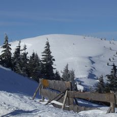
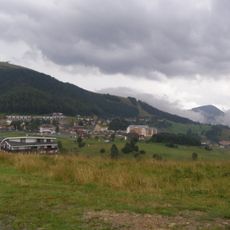
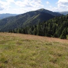
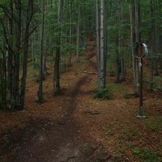
The most common route to the summit starts from Vyšné Revúce and takes around three hours of hiking. Multiple paths lead upward, so visitors can choose their route based on fitness and preference.

The southern slopes display limestone formations that resemble those found in northern Italian mountain regions. This geological feature connects the landscape with alpine structures found hundreds of kilometers away.

The community of curious travelers

AroundUs brings together thousands of curated places, local tips, and hidden gems, enriched daily by 60,000 contributors worldwide.

Start exploring
Elevation above the sea
1,479 m
GPS coordinates
48.93508,19.14480
Latest update
December 14, 2025 18:01
« Čierny kameň - Mountain summit in Ružomberok District, Slovakia » is provided by Around Us (aroundus.com). Images and texts are derived from Wikimedia project under a Creative Commons license. You are allowed to copy, distribute, and modify copies of this page, under the conditions set by the license, as long as this note is clearly visible.

Discover hidden gems everywhere you go!

From secret cafés to breathtaking viewpoints, skip the crowded tourist spots and find places that match your style. Our app makes it easy with voice search, smart filtering, route optimization, and insider tips from travelers worldwide. Download now for the complete mobile experience.

Around Us App Screenshot

A unique approach to discovering new places

Le Figaro

All the places worth exploring

France Info

A tailor-made excursion in just a few clicks

20 Minutes

Around Us
Travel Guide & Maps
Download

Send to your phone

QR Code
1

Open the camera app on your mobile.

2

Point at the QR code with your camera. A notification will appear.

3

Tap the notification to open the link.