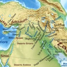
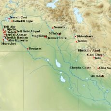
Syria–Turkey border, International border at Upper Mesopotamia, Asia
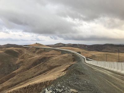
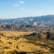
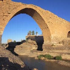
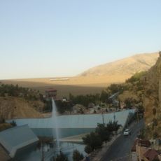
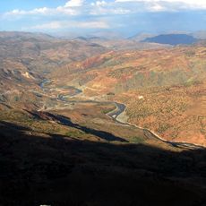
The Syria-Turkey border is an international land boundary that stretches roughly 900 kilometers and crosses several rivers and mountain ranges. It connects the Mediterranean Sea to the Iraq frontier and separates two countries with very different geographical and climate conditions.
The modern border emerged after World War I through the Sykes-Picot Agreement, when British and French forces divided Ottoman territories between them. This division often followed geographical features but also split long-established communities.
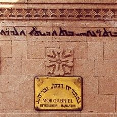
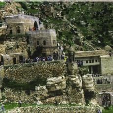
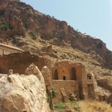
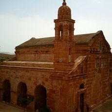
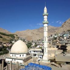
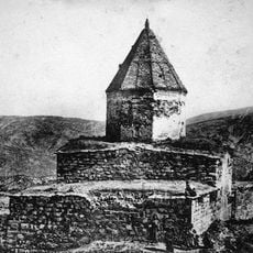
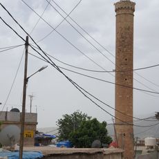
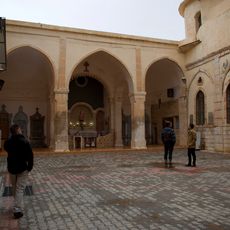
The border region is home to different ethnic groups and languages, including Turkish, Arabic, and Kurdish speakers who live in separate administrative areas. This diversity shapes the traditions and daily life of communities on both sides.
The border has several official crossings that facilitate trade and movement between the two countries, though some may be restricted under certain conditions. Visitors should check the current status of crossings beforehand, as the situation can change rapidly.
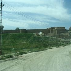
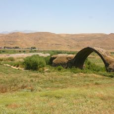
A large section of the border follows the historic route of the Baghdad Railway, which once connected the Ottoman Empire with modern rail lines. This line was a symbol of technological progress and still shapes the landscape of the region today.
The community of curious travelers
AroundUs brings together thousands of curated places, local tips, and hidden gems, enriched daily by 60,000 contributors worldwide.