
Tha Khantho, district in Kalasin province, Thailand
Location: Kalasin
Elevation above the sea: 234 m
GPS coordinates: 16.94000,103.24444
Latest update: March 18, 2025 04:33

Ban Chiang
52.1 km
Phra That Kham Kaen
52.2 km
Phra Mahathat Kaen Nakhon
73.6 km
Mueang Fa Daet
75.1 km
Wat Pa Ban Tat
63.6 km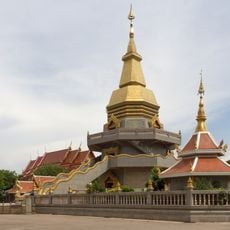
Wat Pho Somphon
72.4 km
Thep Suda Bridge
33.8 km
Sirindhorn Museum
40.6 km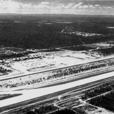
Royal Thai Air Base Nam Phong
43.7 km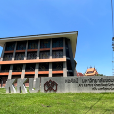
Art Centre Khon Kaen University
71.7 km
Wat Matchimawat
71.6 km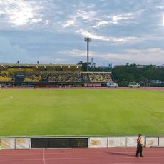
Khon Kaen Stadium
73.6 km
Nam Phong National Park
52.5 km
Wat Klang
73 km
Khon Kaen National Museum
70 km
Khon Kaen Railway Station
72.5 km
Udon Thani Railway Station
69.6 km
Udon Thani city pillar shrine
71.7 km
Wat Si That Phra Mancha
6.7 km
Wat Chaisi
75.6 km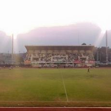
Kalasin Town municipality Stadium
65.2 km
Udon Thani Rajabhat University Stadium
70.3 km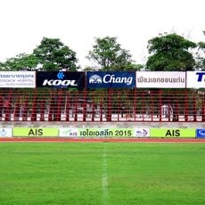
Khon Kaen Sports School Stadium
62.5 km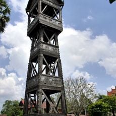
Wat Si Bun Rueang
30 km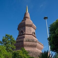
Wat Phuttha Nimit
42 km
Wat That Si Mongkhon
58.8 km
Wat Pa Sam Kasat
74.8 km
Chinese Shrine in Udon Thani
71.8 kmReviews
Visited this place? Tap the stars to rate it and share your experience / photos with the community! Try now! You can cancel it anytime.
Discover hidden gems everywhere you go!
From secret cafés to breathtaking viewpoints, skip the crowded tourist spots and find places that match your style. Our app makes it easy with voice search, smart filtering, route optimization, and insider tips from travelers worldwide. Download now for the complete mobile experience.

A unique approach to discovering new places❞
— Le Figaro
All the places worth exploring❞
— France Info
A tailor-made excursion in just a few clicks❞
— 20 Minutes