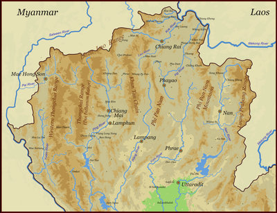
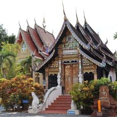
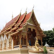
Thanon Thong Chai Range, Mountain range in northern Thailand
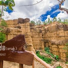
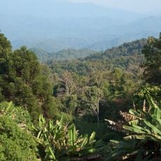
The Thanon Thong Chai Range stretches across Chiang Mai, Mae Hong Son, and Lamphun provinces, displaying granite and limestone rock formations. It reaches elevations over 2,500 meters and creates a major geographic feature in northern Thailand's landscape.
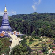
The main peak was originally called Doi Ang Ka but was renamed in the 19th century to honor King Inthawichayanon. This change reflects how the mountain gained greater significance in Thailand's geographic and cultural consciousness.
Karen and Hmong communities live on the slopes, where you can see traditional farming practices and handcrafted goods in their villages. Their way of life follows the rhythms of agriculture and reflects deep connections to the mountain terrain.
The range is crossed by several national parks with marked hiking trails and viewpoints at different elevations. Weather and conditions change significantly with altitude, so prepare accordingly for your chosen route.
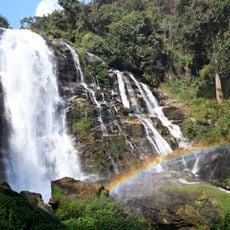
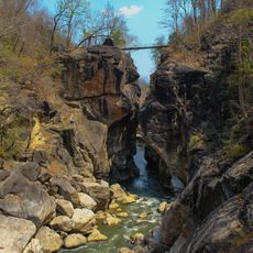
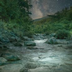
The range acts as a natural water reservoir, feeding a network of streams that supply agricultural regions and communities across northern Thailand. This hidden role makes it a lifeline for the entire area.
The community of curious travelers
AroundUs brings together thousands of curated places, local tips, and hidden gems, enriched daily by 60,000 contributors worldwide.