
Rai Kao, subdistrict in Sam Roi Yot district, Prachuap Khiri Khan province, Thailand
Location: Sam Roi Yot
Inception: September 15, 1979
GPS coordinates: 12.23417,99.85287
Latest update: April 30, 2025 14:49
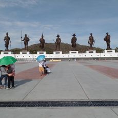
Rajabhakti Park
32.2 km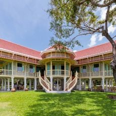
Mrigadayavan Palace
53 km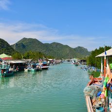
Khao Sam Roi Yot National Park
11.9 km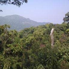
Kaeng Krachan National Park
86.5 km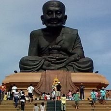
Wat Huai Mongkhon
35.6 km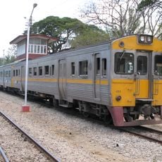
Hua Hin Railway Station
38.5 km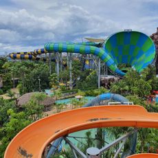
Vana Nava Hua Hin Water Park
35.3 km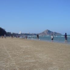
Hua Hin beach
36.4 km
Hua Hin Night Market
39.1 km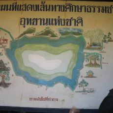
Kui Buri National Park
38.1 km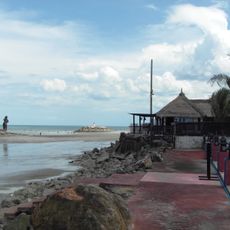
Hat Puek Tian
81.5 km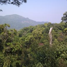
Kaeng Krachan Forest Complex
85.8 km
Prachuap Khiri Khan Province Stadium
46.9 km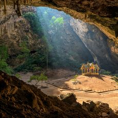
Phraya Nakhon Cave
17.7 km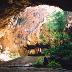
Phra Thinang Khuha Kharuehat
17.7 km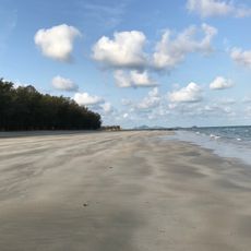
Hat Wanakon National Park
66.7 km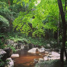
Nam Tok Huai Yang National Park
72.6 km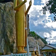
Wat Khao Takiap
34.5 km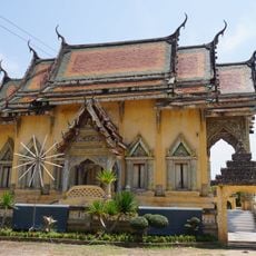
Wat Tham Rong
88.5 km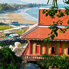
Wat Tham Khao Tao
28.3 km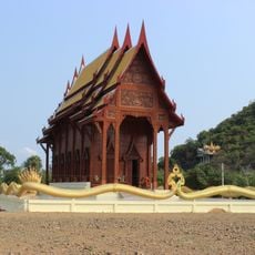
Wat Ao Noi
41.7 km
Wat Khao Daeng
16 km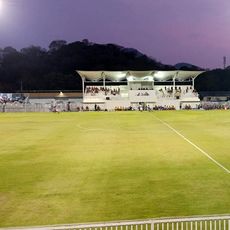
Hua Hin municipal Stadium
35 km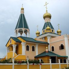
Church of the Holy Royal Martyrs Hua Hin
36.1 km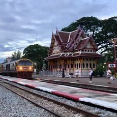
Hua Hin District
33.9 km
Wat Sumanawat
19.3 km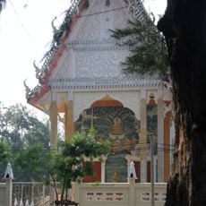
Wat Samut Tharam
71 km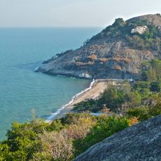
Sai Noi beach
28.2 kmReviews
Visited this place? Tap the stars to rate it and share your experience / photos with the community! Try now! You can cancel it anytime.
Discover hidden gems everywhere you go!
From secret cafés to breathtaking viewpoints, skip the crowded tourist spots and find places that match your style. Our app makes it easy with voice search, smart filtering, route optimization, and insider tips from travelers worldwide. Download now for the complete mobile experience.

A unique approach to discovering new places❞
— Le Figaro
All the places worth exploring❞
— France Info
A tailor-made excursion in just a few clicks❞
— 20 Minutes