Sarez Lake, Mountain lake in Gorno-Badakhshan, Tajikistan
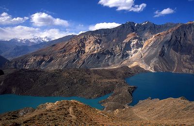
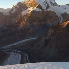
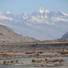
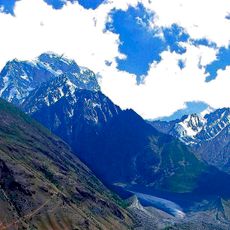
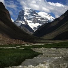
Sarez Lake is a mountain lake in Gorno-Badakhshan that sits high in the Pamir Mountains at roughly 3,260 meters elevation. The water body stretches for many kilometers and reaches depths exceeding 500 meters in places.
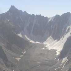
An earthquake in February 1911 triggered a massive landslide that blocked the Murghab River and created this lake. The geological event reshaped the valley and its surrounding landscape.
The lake serves as a testament to the geological forces that shape Central Asian landscapes and stands as a symbol of nature's transformative power in Tajikistan.
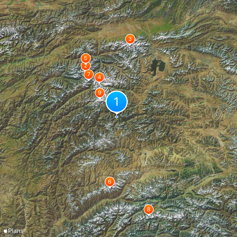
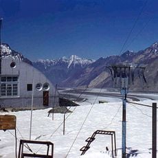
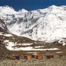
The region is remote and accessible only through difficult mountain passes, requiring careful planning. Visitors should prepare for basic conditions, high elevation, and limited services in the area.
The lake formed behind a natural dam created by the landslide, now standing approximately 567 meters high. This dam is a rare geological feature that formed entirely without human construction.
Location: Gorno-Badakhshan Autonomous Region
Inception: February 18, 1911
Elevation above the sea: 3,255 m
GPS coordinates: 38.25000,72.61667
Latest update: December 12, 2025 18:24
Tajikistan is a land of dramatic contrasts shaped by towering mountains and deep river valleys. The country sits at the crossroads of Central Asia, where ancient trade routes once connected empires and cultures. Today, visitors find themselves in a landscape dominated by peaks that reach beyond 5000...
Ismoil Somoni Peak
93.2 km
Lenin Peak
124.2 km
Fedchenko Glacier
64.5 km
Peak Korzhenevskaya
104 km
Karl Marx Peak
121.8 km
Pik Garmo
78.4 km
Koyo Zom
177.9 km
Tajik National Park
42.3 km
Engels Peak
120.4 kmLenin glacier
132.6 km
Rangkul valley
163.4 km
Kuh-e Safed Khers
134.4 km
Korzhenevsky Glacier
135.2 km
Yamchun Fort
145.9 km
Dzerzhinsky Peak
122.9 km
Lednik Achyk-Suu
127.6 km
Lednik Atdzhaylo
136.1 km
Garam Chashma Hot Spring
150.3 km
Lednik Yangi-Daban
183.7 km
Lednik Kimisdykty
174.1 km
Lednik Iali-Suu
183.6 km
Rodnik Kur-Bulak
137.3 km
Rodnik Kyrchyn
136.3 km
Rodnik Aygyr-Bulak
139.6 km
Rodniki Kyzyl-Bulak
168.8 km
Rodnik Tokmak-Bulak
139.5 km
Rodnik Shor-Bulak (tubud sa Kirgistan, Osh Oblasty, lat 39,48, long 72,27)
140 km
Castle Karon
156.1 kmVisited this place? Tap the stars to rate it and share your experience / photos with the community! Try now! You can cancel it anytime.
Discover hidden gems everywhere you go!
From secret cafés to breathtaking viewpoints, skip the crowded tourist spots and find places that match your style. Our app makes it easy with voice search, smart filtering, route optimization, and insider tips from travelers worldwide. Download now for the complete mobile experience.
A unique approach to discovering new places❞
— Le Figaro
All the places worth exploring❞
— France Info
A tailor-made excursion in just a few clicks❞
— 20 Minutes