
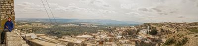
Kesra, Tunisian town
Location: Siliana Governorate
Elevation above the sea: 966 m
GPS coordinates: 35.81667,9.36667
Latest update: March 7, 2025 16:19
Siliana
17.3 km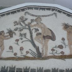
Mactaris
15.1 km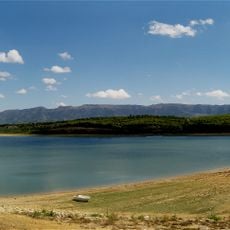
Djebel Serj
21.2 km
Altiburo
52.8 km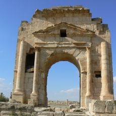
Arch of Trajan
14.9 km
Djebel Bargou
34.7 km
Jebel Serj National Park
21.2 km
Djebel Ousselat
29.5 km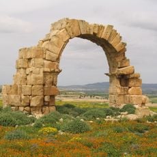
Assuras
37.4 km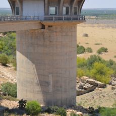
El Haouareb Dam
43.6 km
Large southern thermae
14.8 km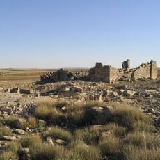
Aggar
22.7 km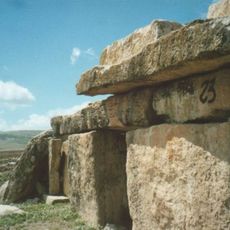
Dolmens of Eles
28.3 km
Jebel Zaghdoud National Park
40.5 km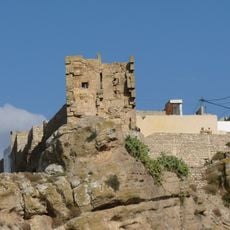
Chusira
296 m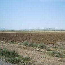
Jebel Mghilla National Park
46.8 km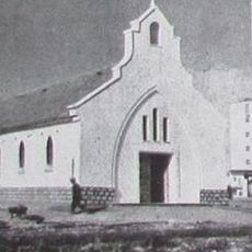
Sers church
42.3 km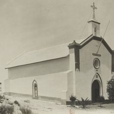
Église du Mont-Carmel du djebel Trozza
36.2 km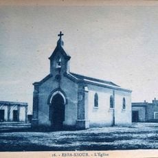
Ebba Ksour church
50.5 km
Bridge over the Oued Cherchira
46.4 km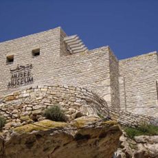
Kesra Traditional Heritage Museum
371 m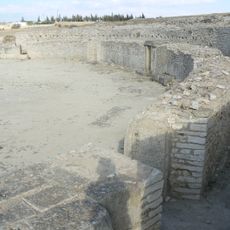
Maktar amphitheatre
15.1 km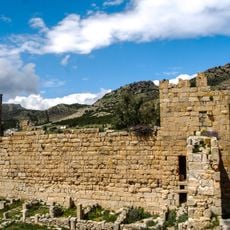
Byzantine fortress of Ksar Lemsa
38.1 km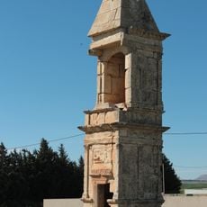
Pyramidal mausoleum of Maktar
15.3 km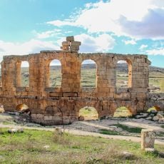
Theatre of Althiburos
52.7 km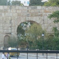
Bab El Ain
15.2 km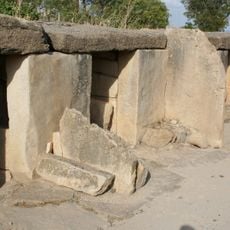
Mégalithes
15.1 km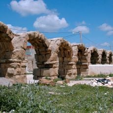
Aqueduc qui amenait les eaux de la source de Souk el Djemaa
15.8 kmVisited this place? Tap the stars to rate it and share your experience / photos with the community! Try now! You can cancel it anytime.
Discover hidden gems everywhere you go!
From secret cafés to breathtaking viewpoints, skip the crowded tourist spots and find places that match your style. Our app makes it easy with voice search, smart filtering, route optimization, and insider tips from travelers worldwide. Download now for the complete mobile experience.

A unique approach to discovering new places❞
— Le Figaro
All the places worth exploring❞
— France Info
A tailor-made excursion in just a few clicks❞
— 20 Minutes