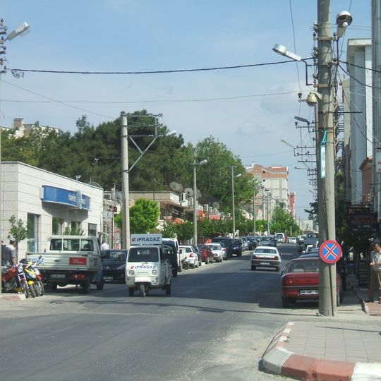
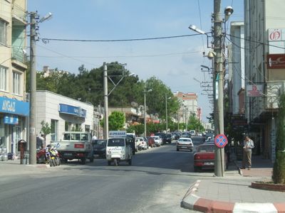
Pınarhisar, district in Kırklareli Province, Turkey
Location: Kırklareli Province
Elevation above the sea: 189 m
GPS coordinates: 41.62431,27.51809
Latest update: March 4, 2025 15:06

Silkosiya Reserve
54.7 km
Strandzha Nature Park
43.9 km
İğneada Longoz Forest National Park
42.6 km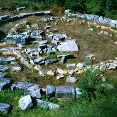
Mishkova niva
37.2 km
Indipasha
43.8 km
Mahya Dağı
19.6 km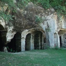
St Nicholas Monastery
47 km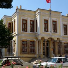
Kırklareli Museum
27.3 km
Antiokheiai Szent Margit-barlangja (Szlivarovo)
44 km
Uzunbodzhak Reserve
45.7 km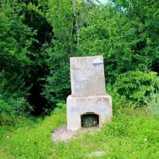
Golyamo Gradishte
38 km
Demirköy Foundry
32.7 km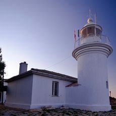
İğneada Lighthouse
53.3 km
Propada Sanctuary
40 km
Vitanovo Reserve
41.9 km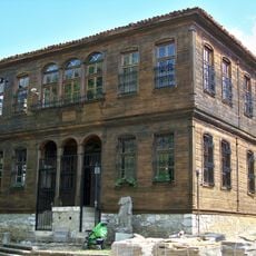
Malko Tarnovo History museum
39.5 km
Veleka River Mouth
59.7 km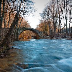
Вълчанов мост
36.3 km
Tisovitsa
59.6 km
Sredoka
45.5 km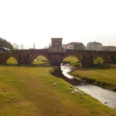
Babaeski bridge
41.2 km
Stone
43.2 km
Holy Trinity Church in Malko Tarnovo
39.5 km
Узунбуджак
45.7 km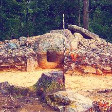
Belevrenski dolmens
59.3 km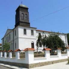
Church of Saints Cyril and Methodius in Kosti
53.1 km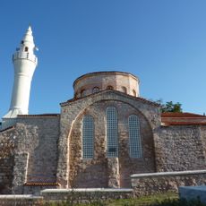
Hagia Sophia, Vize
21.4 km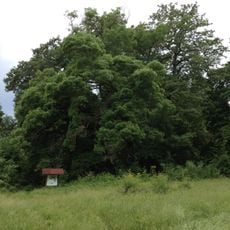
Quercus petraea in Kosti
52.4 kmReviews
Visited this place? Tap the stars to rate it and share your experience / photos with the community! Try now! You can cancel it anytime.
Discover hidden gems everywhere you go!
From secret cafés to breathtaking viewpoints, skip the crowded tourist spots and find places that match your style. Our app makes it easy with voice search, smart filtering, route optimization, and insider tips from travelers worldwide. Download now for the complete mobile experience.

A unique approach to discovering new places❞
— Le Figaro
All the places worth exploring❞
— France Info
A tailor-made excursion in just a few clicks❞
— 20 Minutes
