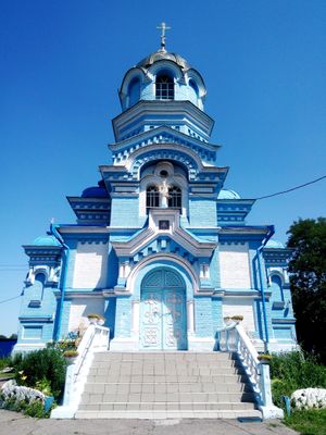
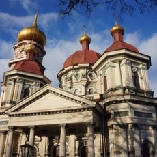
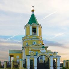
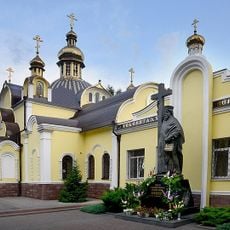
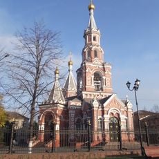
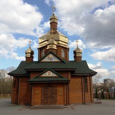
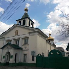
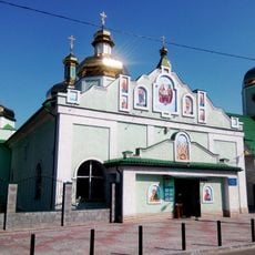
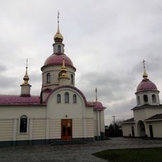
Taromske, Historical settlement district in Dnipro, Ukraine
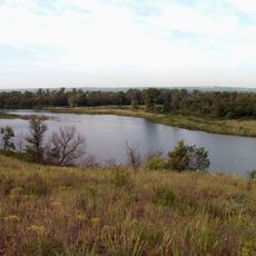
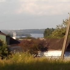
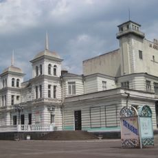
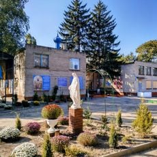
Taromske is a district in the southern part of Dnipro, Ukraine, where urban and rural areas sit side by side. Buildings range from compact residential blocks closer to the city center to scattered houses that open into open land toward the edges.
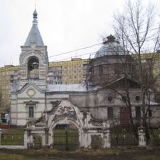
The settlement grew up around 1800 as a Cossack community and slowly took on a more urban character over the following two centuries. It was officially absorbed into the municipality of Dnipro in 2001.
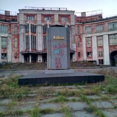
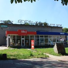
Ukrainian is the language you hear on the street, in shops, and between neighbors throughout this district. The area feels everyday and lived-in, with little set up for visitors, which gives it an authentic local feel.
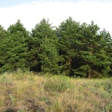
The area sits in the southern part of Dnipro and can be reached by local public transport, though some sections are more accessible than others. Since the built-up and open parts of the district blend gradually, it helps to know which part you are heading to before you set out.
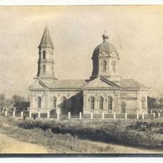
The early residents held a special military status that kept them out of serfdom in exchange for service in the Russian army. This arrangement set the community apart from most other settlements in the region and shaped how people here saw themselves for generations.
The community of curious travelers
AroundUs brings together thousands of curated places, local tips, and hidden gems, enriched daily by 60,000 contributors worldwide.