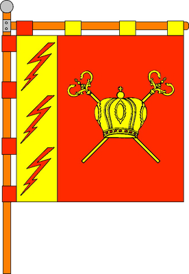
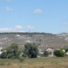
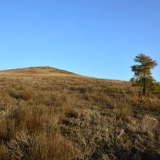
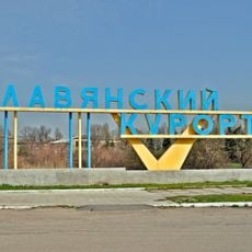
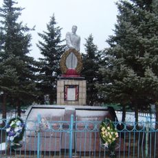
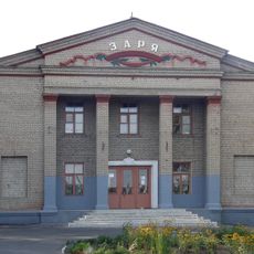
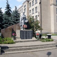
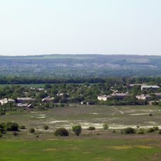
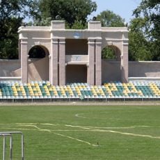
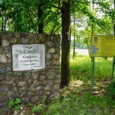
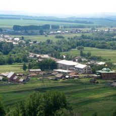
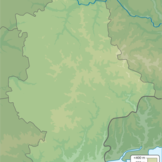
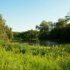
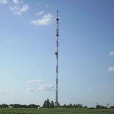
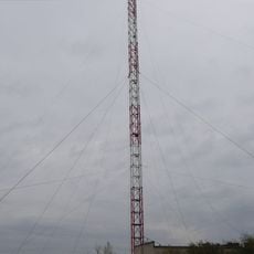
Mykolaivka urban hromada, hromada in Donetsk Oblast, Ukraine
Location: Kramatorsk Raion
Website: https://mk-otg.gov.ua
GPS coordinates: 48.82065,37.77064
Latest update: April 26, 2025 19:00
カラチュン山
16 km
Yampil
17.7 km
National Nature Park Holy Mountains
10.7 km
Raihorodok
9.5 km
Bilenke
11.9 km
Nature Reserve Chalkland flora
10.3 km
Slavkurort
11.3 km
Bylbasivka
20.1 km
Yasnohirka
17 km
The rocky outcrop of the Upper Cretaceous
19 km
Shabelkivka
21.8 km
Andriivka
17.5 km
Donetske
14 km
Avanhard Stadium
19.8 km
Дендропарк Маяцького лісництва
16.7 km
Palace of Culture and Technology Kramatorsk
16.3 km
Regional Landscape Park «Kramatorsky»
17 km
Kramatorsk Art Museum
16.8 km
Sofiyivka
20.9 km
History Museum of Kramatorsk
19.3 km
Bliuminh Stadium
15.5 km
Taras Shevchenko monument
16.5 km
Урочище Сосна
10.1 km
Zaplava-1 Forestry Preserve
13.6 km
Zmiina Hora
9.9 km
Karachun TV tower
15.3 km
Karachun TV tower
15.3 km
Приозерний заказник
11.4 kmReviews
Visited this place? Tap the stars to rate it and share your experience / photos with the community! Try now! You can cancel it anytime.
Discover hidden gems everywhere you go!
From secret cafés to breathtaking viewpoints, skip the crowded tourist spots and find places that match your style. Our app makes it easy with voice search, smart filtering, route optimization, and insider tips from travelers worldwide. Download now for the complete mobile experience.
A unique approach to discovering new places❞
— Le Figaro
All the places worth exploring❞
— France Info
A tailor-made excursion in just a few clicks❞
— 20 Minutes