Poplar, Residential district in East End of London, United Kingdom.
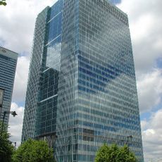
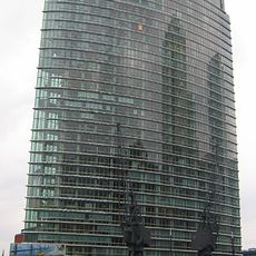
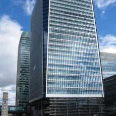
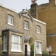
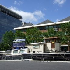
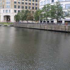
Poplar is a residential district in the East End of London with a mix of traditional terraced homes, post-war housing blocks, and new apartment buildings. The area extends around the canals and waterways that once served the industrial docks.
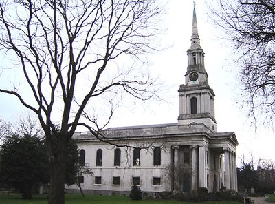
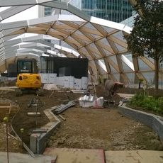
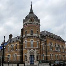
The area developed from a rural hamlet into a dockland neighborhood in the early 19th century after trading companies built warehouses and quays. The heavy bombing during World War II destroyed much of it, and reconstruction brought large social housing estates in the 1950s.
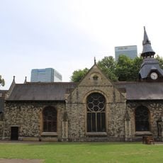
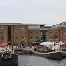
The streetscape shows the connection between the industrial past and the new neighborhoods that grew around the former dock areas. Residents use the green spaces along the canals and the community centers converted from the old warehouse buildings.
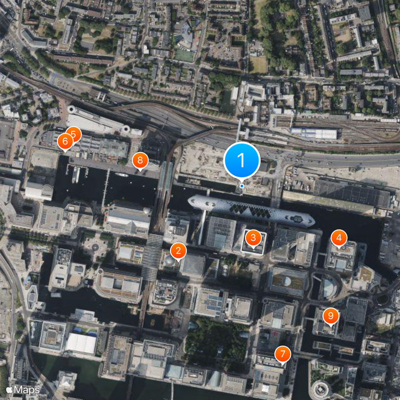
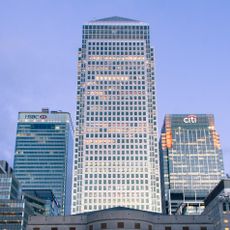
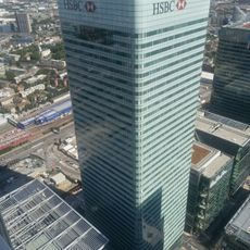
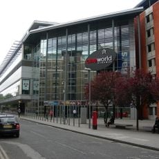
Connections to the City and Canary Wharf run through several Docklands Light Railway stations and bus lines. Visitors find supermarkets, cafes, and small shops around the main roads and pedestrian areas.
The street market from 1951 was one of the first in Europe designed on a modern urban plan, with covered shop fronts and a central clock tower. The market stalls still sell fresh food, clothing, and household goods today, just as they did in the early decades.
Location: London Borough of Tower Hamlets
Shares border with: Brick Lane
GPS coordinates: 51.50660,-0.01780
Latest update: December 12, 2025 22:15
One Canada Square
234 m
8 Canada Square
150 m
One Churchill Place
275 m
London Museum Docklands
415 m
Statue of Robert Milligan
430 m
10 Upper Bank Street
437 m
1 West India Quay
246 m
25 Churchill Place
396 m
Crossrail Place
59 m
St Matthias Old Church
262 m
Poplar Rates Rebellion Mural
333 m
West India Quay Footbridge
326 m
St Mattias's Vicarage
304 m
Poplar Technical College
242 m
Cineworld Cinema West India Quay
437 m
Tomb Of Samuel Coppendale, St Mattias
374 m
Tomb Of Hugh Mcintosh,St Mattias
366 m
St Peter's Church
425 m
Quay walls, copings and buttresses to Import Dock And Export Dock
91 m
Old Poplar Town Hall And Council Offices
321 m
Idea Store Canary Wharf Library
312 m
Warehouses And General Offices At Western End Of North Quay
449 m
London Joint City and Midland Bank War Memorial
91 m
Tomb Of Solomon Baker
381 m
Unidentified Body Stone Tomb West Of South East Gate, St Matthias Churchyard
336 m
Sign on Forecourt of former White Horse Public House
392 m
Tomb Of John Smart, St Mattias
382 m
Tomb Of Captain Samuel Jones And Family, St Mattias
356 mVisited this place? Tap the stars to rate it and share your experience / photos with the community! Try now! You can cancel it anytime.
Discover hidden gems everywhere you go!
From secret cafés to breathtaking viewpoints, skip the crowded tourist spots and find places that match your style. Our app makes it easy with voice search, smart filtering, route optimization, and insider tips from travelers worldwide. Download now for the complete mobile experience.
A unique approach to discovering new places❞
— Le Figaro
All the places worth exploring❞
— France Info
A tailor-made excursion in just a few clicks❞
— 20 Minutes