Anguilla

Log in to your account

AroundUs is a community-driven map of interesting places, built by curious explorers like you. It grows with every review, story, and photo you share.
Connect to save your favorite spots, contribute locations, and create personalized routes.
Continue with Google
Continue with Apple
Continue with X
Continue with Facebook
Continue with email
By continuing, you accept our Terms and Conditions and our Privacy Policy
Create an account
Add to collection
Map
Suggest a change
Share

Anguilla, British territory in Caribbean Sea.

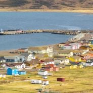
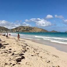
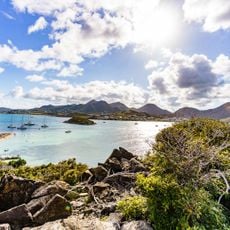
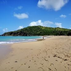
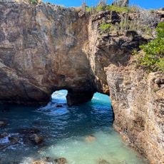
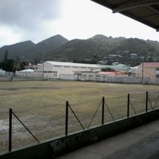
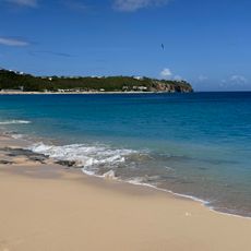
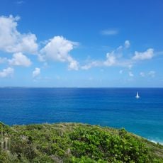
Anguilla is a British overseas territory in the Caribbean composed of a main island and several smaller islets that together form more than two dozen beaches. The terrain remains mostly flat, while coral reefs extend along the coasts and create sheltered bays with calm water suited for swimming and snorkeling.

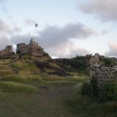
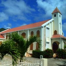
European settlers arrived in the 17th century, and the island changed hands several times between French and British rule over the following decades. In 1980, after a period of political tension, the territory separated from Saint Kitts and Nevis and gained status as a distinct British overseas territory with its own administration.

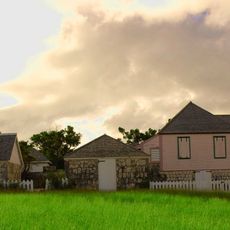
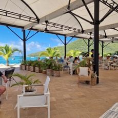
The name derives from the Latin word for eel, referring to the main island's elongated shape visible from the water. English is spoken throughout, while reggae and soca sounds drift from bars and beach shacks where visitors meet locals gathering to relaxed rhythms.

Travelers reach the territory by taking a short flight or ferry from Sint Maarten, with the crossing lasting about twenty minutes. The best conditions occur between December and May, when the rainy season has ended and hurricane season has not yet begun or has already finished.

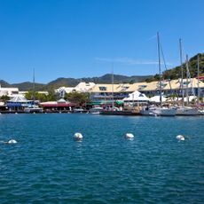
At Sandy Ground harbor, several old vessels were deliberately sunk to create artificial reefs that now serve as dive sites. These underwater structures attract tropical fish and occasionally sea turtles that swim among the sunken wrecks and can be observed by divers.

Location: British overseas territories

Capital city: The Valley

Part of: Leeward Islands, Lesser Antilles, Caribbean, Windward Islands

GPS coordinates: 18.19549,-63.07502

Latest update: December 14, 2025 20:18

Photos
Smallest countries and territories in the world by area

This collection encompasses the world's smallest countries and territories by land area, measured including lakes and rivers within their borders. The list features both independent sovereign states and dependent territories with varying political statuses. From Vatican City at 0.4 square kilometers...

Reviews

Visited this place? Tap the stars to rate it and share your experience / photos with the community! Try now! You can cancel it anytime.

« Anguilla - British territory in Caribbean Sea » is provided by Around Us (aroundus.com). Images and texts are derived from Wikimedia project under a Creative Commons license. You are allowed to copy, distribute, and modify copies of this page, under the conditions set by the license, as long as this note is clearly visible.

Discover hidden gems everywhere you go!

From secret cafés to breathtaking viewpoints, skip the crowded tourist spots and find places that match your style. Our app makes it easy with voice search, smart filtering, route optimization, and insider tips from travelers worldwide. Download now for the complete mobile experience.

Around Us App Screenshot

A unique approach to discovering new places

Le Figaro

All the places worth exploring

France Info

A tailor-made excursion in just a few clicks

20 Minutes