Enable Location

We need your location to show you interesting places around you

Discover nearby places

Find interesting locations and hidden gems around you

Precise directions

Get accurate directions and distances to places

Your location is never shared with other users. It's only used when you tap the location button.

Carmarthenshire

Log in to your account

Start exploring — it's free

Trusted by 61,588 travelers worldwide

Continue with Google
Continue with Apple
or

We will send you a code to connect

By continuing, you accept our Terms and Conditions and our Privacy Policy

Check your inbox

We've sent a pincode in your inbox. Please enter the code below.

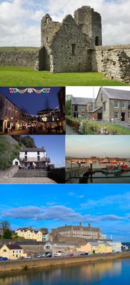
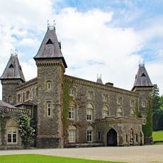
Carmarthenshire, Principal area in southwest Wales, Great Britain.

Description

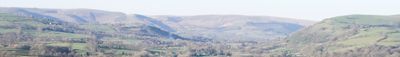
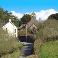
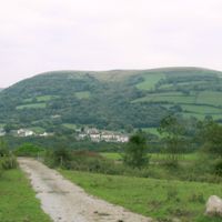
Carmarthenshire is a principal area in southwest Wales that stretches from the Bristol Channel inland to the slopes of the Black Mountain. The county includes coastal towns, wide valleys along the Towy, and wooded hills in the northeast.

History

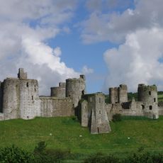
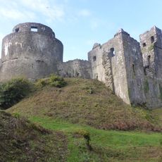
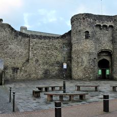
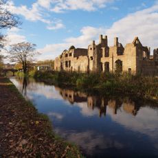
The Romans built a fort near Carmarthen around 75 AD, establishing one of the earliest permanent settlements in Wales. During the Middle Ages, the region became a center of Welsh princely power before passing under English control.

Culture

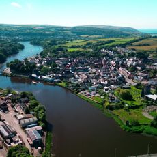
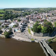
The name Carmarthen comes from the Roman settlement Moridunum, meaning fortress by the sea. In the northern valleys, Welsh remains the main language of daily life, while English dominates along the southern coast.

Practical

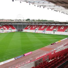
The three main towns of Llanelli, Carmarthen, and Ammanford are well connected by road and rail, with Carmarthen serving as the administrative hub. Visitors exploring the county should allow extra time for rural areas, as distances between villages can be long.

Did you know?

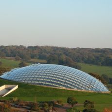
The Towy flows for about 68 miles (109 km) entirely within Wales, making it the longest river to do so. The National Botanic Garden of Wales near Llanarthne contains the largest single-span glasshouse in Britain.

Location
Capital city
Carmarthen
Shares border with
Pembrokeshire, Ceredigion, Swansea, Powys, Neath Port Talbot, Glamorgan, Brecknockshire
GPS coordinates
51.85611,-4.31056
Latest update
December 13, 2025 18:01

AroundUs brings together thousands of curated places, local tips, and hidden gems, enriched daily by 60,000 contributors worldwide. Discover all places nearby (Wales).

« Carmarthenshire - Principal area in southwest Wales, Great Britain » is provided by Around Us (aroundus.com). Images and texts are derived from Wikimedia project under a Creative Commons license. You are allowed to copy, distribute, and modify copies of this page, under the conditions set by the license, as long as this note is clearly visible.

Discover hidden gems everywhere you go!

From secret cafés to breathtaking viewpoints, skip the crowded tourist spots and find places that match your style. Our app makes it easy with voice search, smart filtering, route optimization, and insider tips from travelers worldwide. Download now for the complete mobile experience.

Around Us App Screenshot

A unique approach to discovering new places

Le Figaro

All the places worth exploring

France Info

A tailor-made excursion in just a few clicks

20 Minutes

Around Us
Travel Guide & Maps
Download

Send to your phone

QR Code
1

Open the camera app on your mobile.

2

Point at the QR code with your camera. A notification will appear.

3

Tap the notification to open the link.