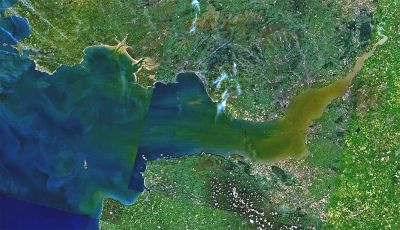
Bristol Channel, Waterway between South Wales and South West England, United Kingdom
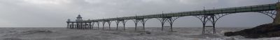
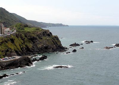
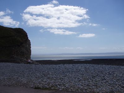
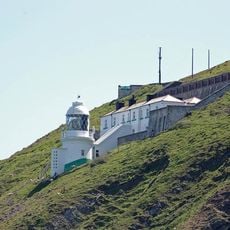
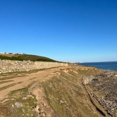
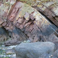
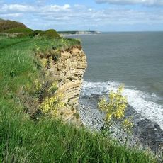
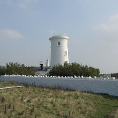
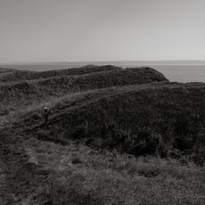
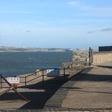
Bristol Channel is a body of water between South Wales and South West England that stretches from the Atlantic Ocean to the mouth of the River Severn over roughly 120 kilometers. The shores on both sides show gentle hills, cliffs, and wide bays with narrow beaches revealed at low tide.
Until Tudor times, this waterway was called the Severn Sea, reflecting its close link to the river mouth. The current name took hold as Bristol became the main port for trade between England and Ireland.
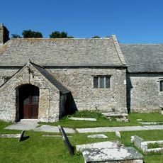
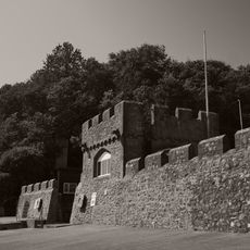
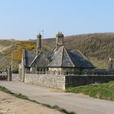
The name comes from the port of Bristol and reflects centuries of trade passing through these waters. Along the shore, locals walk the broad beaches at low tide and visit fishing villages that still sell daily catches at small harbours.
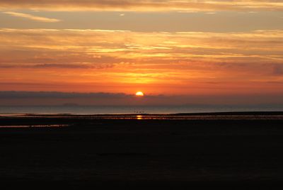
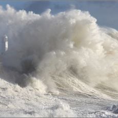
Tides raise and lower the water level by over 12 meters (around 40 feet), altering access to harbours and beaches throughout the day. Anyone walking along the shore should check tide tables to plan safe routes and avoid being cut off by rising water.
Kathleen Thomas swam across these waters in 1927, taking seven hours to complete the route from Penarth to Weston-super-Mare. Since then, only a handful of swimmers have repeated the crossing because strong currents and cold water demand careful preparation.
The community of curious travelers
AroundUs brings together thousands of curated places, local tips, and hidden gems, enriched daily by 60,000 contributors worldwide.