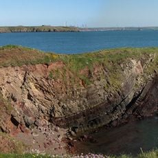
Angle Peninsula Coast, Site of Special Scientific Interest in Wales
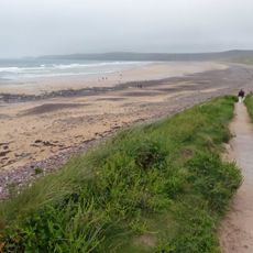
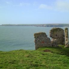
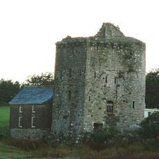
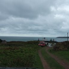
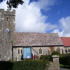
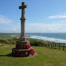
Angle Peninsula Coast is a strip of land jutting into the sea in Pembrokeshire, Wales, protected as a Site of Special Scientific Interest and covering around 133 hectares. It features rocky shores, sandy beaches and marshy areas, with a coastal footpath offering views of a Victorian fort on nearby Thorne Island and access to West Angle Bay.
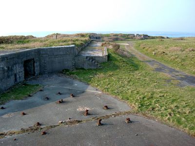
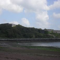
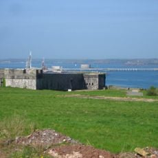
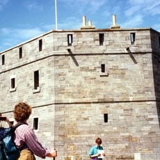
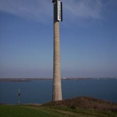
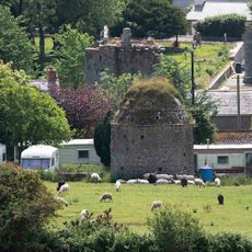
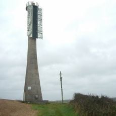
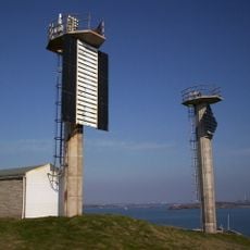
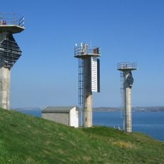
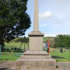
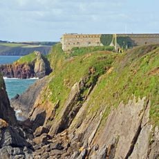
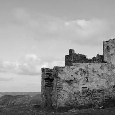
The peninsula was fortified in the 19th century with several forts to protect the harbor from French attack, humorously called Palmerston's Follies since they were never used in war. During World War II the area was heavily militarized with RAF Angle airfield from 1941 and later coastal defenses and gun emplacements protecting the strategically important entrance to Milford Haven Waterway.
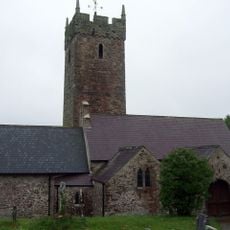
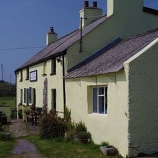
The name Angle comes from Old English and refers to the shape of the peninsula jutting into the sea. The village and its cottages reflect a long tradition of fishing and seafaring that still shapes how locals relate to the water and landscape.
The walk along the coast is steep and sometimes rough underfoot, so sturdy boots and waterproof clothing are important for safety and comfort. Check tide tables before your visit since tides change quickly and some routes are safer at certain times of day.
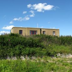
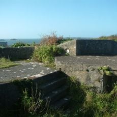
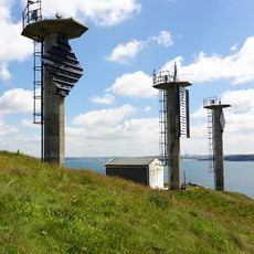
The coast contains overlooked remains of World War II anti-aircraft posts, searchlight huts and mine watcher structures scattered across remote areas that tell stories of the peninsula's strategic wartime importance. Visitors who explore beyond the main path can discover these hidden military remnants scattered through fields and rocky ground.
The community of curious travelers
AroundUs brings together thousands of curated places, local tips, and hidden gems, enriched daily by 60,000 contributors worldwide.