Enable Location

We need your location to show you interesting places around you

Discover nearby places

Find interesting locations and hidden gems around you

Precise directions

Get accurate directions and distances to places

Your location is never shared with other users. It's only used when you tap the location button.

Arnside

Log in to your account

Start exploring — it's free

Trusted by 62,420 travelers worldwide

Continue with Google
Continue with Apple
or

We will send you a code to connect

By continuing, you accept our Terms and Conditions and our Privacy Policy

Check your inbox

We've sent a pincode in your inbox. Please enter the code below.

Arnside, Administrative division in Westmorland and Furness, England

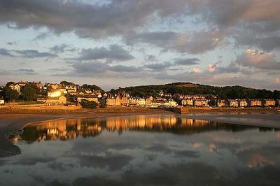
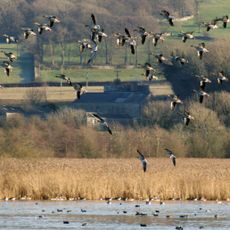
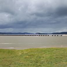
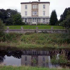
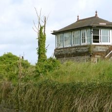
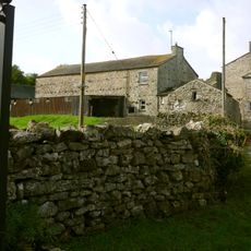
Arnside sits on the southern bank of the River Kent estuary and stretches along the northeastern edge of Morecambe Bay. The village spreads across a coastal landscape shaped by water and marshland that frame the settlement.

The area was originally part of the historic county of Westmorland before being reorganized under a new authority. This shift marked a change in how the settlement was governed and administered locally.

The community here holds regular gatherings where local crafts and traditional activities are on display. These events shape daily life and show how connected residents are to one another.

The area has a railway station with regular services connecting it to nearby towns. This makes it straightforward to arrive and explore the region or travel to surrounding areas.

The area experiences dramatic tidal swings that can reach around 10 meters during certain times of year. A warning system alerts people to the rapid rise in water levels that occurs in this bay.

The community of curious travelers

AroundUs brings together thousands of curated places, local tips, and hidden gems, enriched daily by 60,000 contributors worldwide.

Start exploring
Location
Westmorland and Furness
GPS coordinates
54.20131,-2.83430
Latest update
December 7, 2025 20:24
« Arnside - Administrative division in Westmorland and Furness, England » is provided by Around Us (aroundus.com). Images and texts are derived from Wikimedia project under a Creative Commons license. You are allowed to copy, distribute, and modify copies of this page, under the conditions set by the license, as long as this note is clearly visible.

Discover hidden gems everywhere you go!

From secret cafés to breathtaking viewpoints, skip the crowded tourist spots and find places that match your style. Our app makes it easy with voice search, smart filtering, route optimization, and insider tips from travelers worldwide. Download now for the complete mobile experience.

Around Us App Screenshot

A unique approach to discovering new places

Le Figaro

All the places worth exploring

France Info

A tailor-made excursion in just a few clicks

20 Minutes

Around Us
Travel Guide & Maps
Download

Send to your phone

QR Code
1

Open the camera app on your mobile.

2

Point at the QR code with your camera. A notification will appear.

3

Tap the notification to open the link.