South Ockendon, town in Essex, United Kingdom
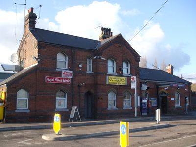
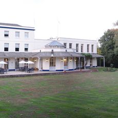
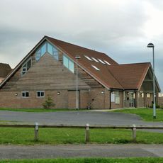
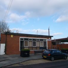
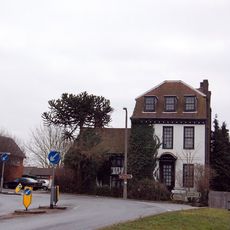
South Ockendon is a small town in Essex within the Thurrock borough, consisting of a mix of older houses and newer residential developments. The streets are quiet, with functional buildings suited for families, along with some local shops and a community center that hosts events for all ages.
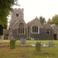
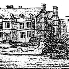
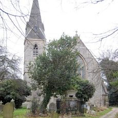
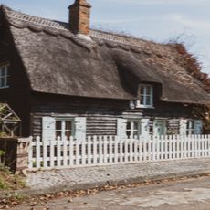
South Ockendon was originally a rural village with roots stretching back several centuries, and developed during the 20th century from farmland into a residential area. Older buildings in the town reflect this transformation and show how the place has grown over time.
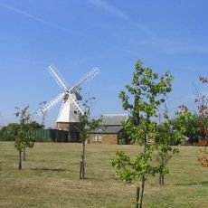
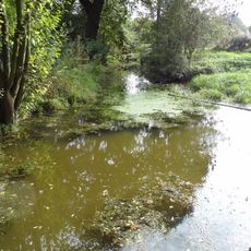
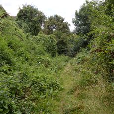
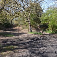
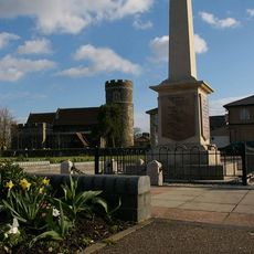
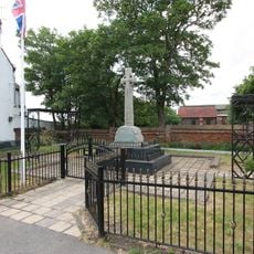
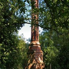
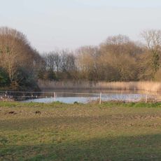
South Ockendon takes its name from the oak woodlands that once covered the landscape. This heritage shows in the green spaces that remain, and in how neighbors gather regularly at local markets and community events throughout the year.
The town is served by several bus routes connecting it to nearby towns and larger centers, allowing residents to travel without a car if needed. Access to bigger cities like Grays through the A13 and M25 is straightforward, and parking is available in various parts of the town for those who drive.
The town has changed considerably in recent years, becoming a safer and friendlier place where neighbors look out for each other and a strong sense of community exists. Many residents emphasize that this positive change has made it a place where people genuinely feel at home and part of a supportive community.
The community of curious travelers
AroundUs brings together thousands of curated places, local tips, and hidden gems, enriched daily by 60,000 contributors worldwide.