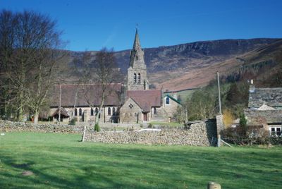
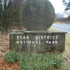
Edale, Agricultural village in High Peak, England
Description
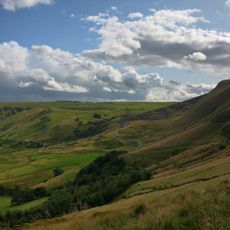
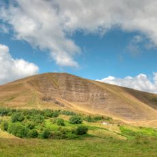
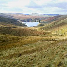
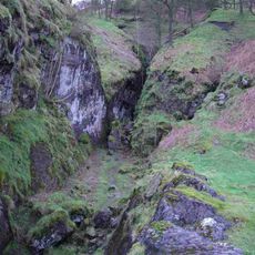
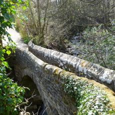
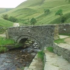
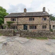
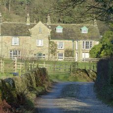
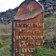
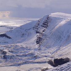
Edale is a village made up of scattered hamlets nestled in a valley surrounded by moorlands and hills. It serves as the starting point for the Pennine Way, one of England's major long-distance footpaths.
History
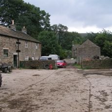
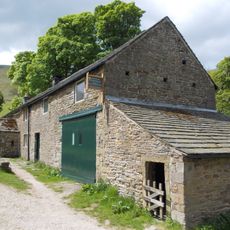
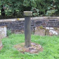
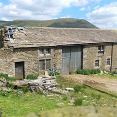
The settlement began as medieval cattle farms called vaccaries, established in the 13th century within the royal Forest of High Peak. This early pastoral tradition laid the foundation for the village's agricultural character.
Culture
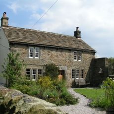
The village reflects its deep roots in farming, with locals and visitors alike drawn to seasonal celebrations that mark the year. The landscape here is shaped by how people have worked the land for generations.
Practical
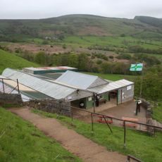
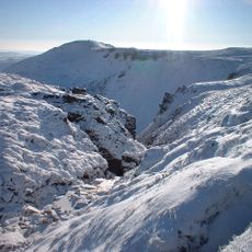
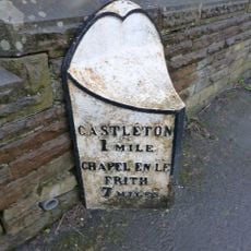
The railway station on the Hope Valley line connects to Sheffield and Manchester with regular services throughout the day. Visitors should come prepared for changing weather and bring appropriate footwear for moorland walking.
Did you know?
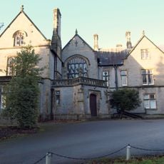
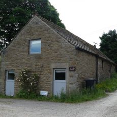
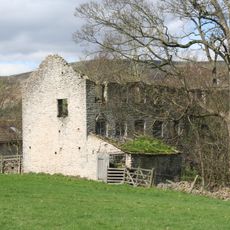
A cotton mill from 1795 still stands in the village, restored in the 1970s and converted into homes by a heritage organization. This building reveals how the area once combined farming with small-scale manufacturing.
AroundUs brings together thousands of curated places, local tips, and hidden gems, enriched daily by 60,000 contributors worldwide. Discover all places nearby (High Peak).
Peak District
4.4 km
Mam Tor
1.9 km
Pennine Way
515 m
Blue John Cavern
2.4 km
Treak Cliff Cavern
2.6 km
Peak District National Park
2.1 km
Odin Mine nucleated lead mine and ore works, 350m WNW of Knowlegates Farm
2.3 kmHigh Peak Estate
0 m
Grindslow Knoll
1.9 km
Losehill Hall
3.4 km
The Church of the Holy and Undivided Trinity, Edale
295 m
Methodist Chapel
1.2 km
The Old Nags Head
524 m
Gibraltar Bridge
553 m
Packhorse Bridge at foot of Jacob's Ladder
3.6 km
Edale War Memorial
296 m
Mile Post East Of Marston Farm Sk159834
4.2 km
Lea House
505 m
Grindslow House
894 m
Barn opposite Methodist Chapel
1.2 km
Edale End Farmhouse and attached barn
3.8 km
Dalehead Farmhouse and attached barn
2.5 km
Milepost At Os 127 832
2.3 km
Spital Buildings
3.9 km
Ivy House
1.2 km
Sundial in old churchyard
230 m
Tagnaze Farmhouse and attached barn
2.3 km
Mam Tor hillfort
1.8 kmDiscover hidden gems everywhere you go!
From secret cafés to breathtaking viewpoints, skip the crowded tourist spots and find places that match your style. Our app makes it easy with voice search, smart filtering, route optimization, and insider tips from travelers worldwide. Download now for the complete mobile experience.
A unique approach to discovering new places❞
— Le Figaro
All the places worth exploring❞
— France Info
A tailor-made excursion in just a few clicks❞
— 20 Minutes