Chest opened
+${chestReward.xp} XP
Explorer
NOUVEAU ×${chestReward.collectible.quantity}
tapez pour fermer

See the monuments around you in AR Open chests in the app

Around Us is built for your phone — point your camera at the streets and discover the monuments and places around you in augmented reality. Around Us is built for your phone — chests unlock when you walk, explore and capture nearby places.

Enable Location

We need your location to show you interesting places around you

Discover nearby places

Find interesting locations and hidden gems around you

Precise directions

Get accurate directions and distances to places

Your location is never shared with other users. It's only used when you tap the location button.

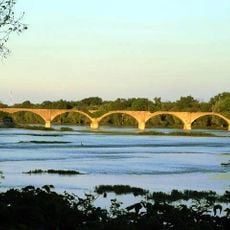
Maumee River

Log in to your account

Start exploring — it's free

Trusted by 84,919 travelers worldwide

Continue with Google
Continue with Apple
or

We will send you a code to connect

By continuing, you accept our Terms and Conditions and our Privacy Policy

Check your inbox

We've sent a pincode in your inbox. Please enter the code below.

Maumee River
Discussion Reviews 2 Photos
32.8k Popularity

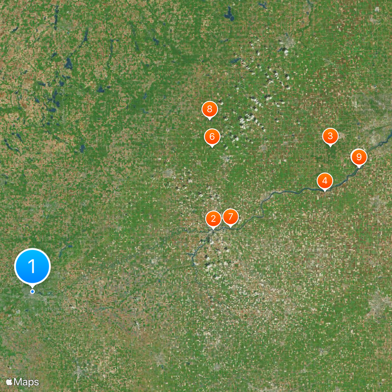
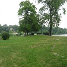
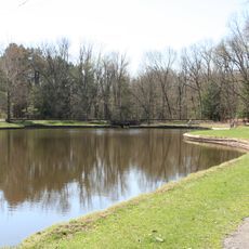
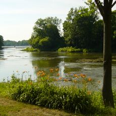
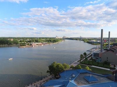
Maumee River, Major river system in Ohio and Indiana, United States.

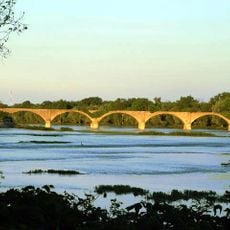
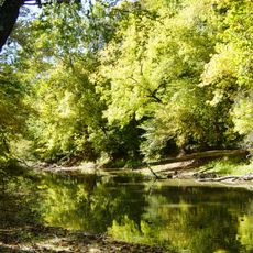
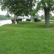
The Maumee River is a waterway in Ohio and Indiana that flows northeast for about 137 miles before meeting Lake Erie at Toledo. Along its course the river passes through multiple counties and supports recreational spaces and natural habitats along its banks.

The river served as a vital transportation route during the War of 1812, connecting Fort Wayne to Lake Erie and becoming central to military movements. This strategic importance helped shape the region's development through the early decades of the United States.

The name comes from Lenape peoples who called it "maamii," meaning water, and built settlements along its banks for food and trade. Today the river remains a place where people fish, kayak, and spend time outdoors in parks that line the water.

Multiple parks and access points line the river in Toledo and Fort Wayne where you can kayak, fish, and hike. The best time to visit depends on your activity; paddlers often choose spring and fall for comfortable conditions.

The river once caught fire multiple times due to severe pollution, with the most dramatic incident in 1969 that shocked the nation and sparked environmental action. These events became turning points in how America addressed water protection and factory accountability.

The community of curious travelers

AroundUs brings together thousands of curated places, local tips, and hidden gems, enriched daily by 60,000 contributors worldwide.
Start exploring
Location
Location
Location
Location
Location
Location
GPS coordinates
41.37577,-84.14712
Latest update
August 30, 2026 15:08
Around this place
Fort Defiance
United States of America

Fort Defiance

12.5 mi
Oak Openings Preserve Metropark
United States of America

Oak Openings Preserve Metropark

19.6 mi
Mary Jane Thurston State Park
United States of America

Mary Jane Thurston State Park

13.8 mi
Farnsworth Metropark
United States of America

Farnsworth Metropark

22.9 mi
Goll Woods State Nature Preserve
United States of America

Goll Woods State Nature Preserve

16.5 mi
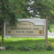
Independence Dam State Park
United States of America

Independence Dam State Park

9 mi
Harrison Lake State Park
United States of America

Harrison Lake State Park

21.7 mi
Interurban Bridge
United States of America

Interurban Bridge

23 mi
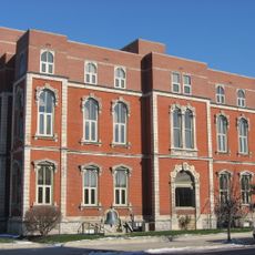
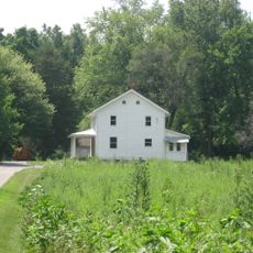
Henry County Sheriff's Residence and Jail
United States of America

Henry County Sheriff's Residence and Jail

1.6 mi
Dodge Site
United States of America

Dodge Site

22.9 mi
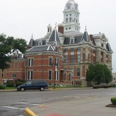
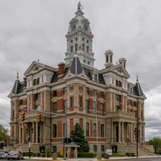
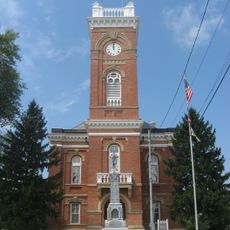
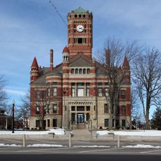
Henry County Courthouse
United States of America

Henry County Courthouse

1.6 mi
John Edwards House
United States of America

John Edwards House

20.6 mi
Defiance County Courthouse
United States of America

Defiance County Courthouse

12.7 mi
Fulton County Courthouse
United States of America

Fulton County Courthouse

11.8 mi
Leipsic Village Hall
United States of America

Leipsic Village Hall

21 mi
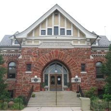
Defiance Public Library
United States of America

Defiance Public Library

12.6 mi
Goll Homestead
United States of America

Goll Homestead

16.8 mi
Williams County Courthouse
United States of America

Williams County Courthouse

22.6 mi
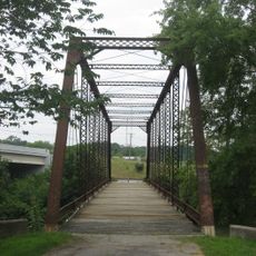
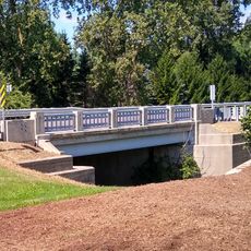
Dey Road Bridge
United States of America

Dey Road Bridge

13.7 mi
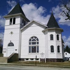
First Universalist Church of Lyons, Ohio
United States of America

First Universalist Church of Lyons, Ohio

22.8 mi
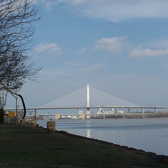
Murray D. Van Wagoner Memorial Bridge
United States of America

Murray D. Van Wagoner Memorial Bridge

23.5 mi
Brooke Site
United States of America

Brooke Site

16 mi
George S. Clement House
United States of America

George S. Clement House

12 mi
Jones-Read-Touvelle House
United States of America

Jones-Read-Touvelle House

11.6 mi
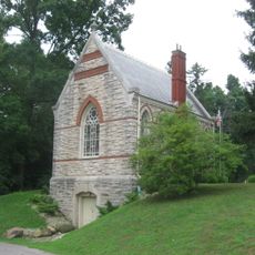
Riverside Chapel
United States of America

Riverside Chapel

13.9 mi
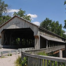
Lockport Covered Bridge
United States of America

Lockport Covered Bridge

17.3 mi
Spemica Lawba-Johnny Logan
United States of America

Spemica Lawba-Johnny Logan

12.5 mi
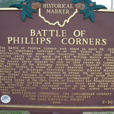
The Ohio Michigan Boundary War
United States of America

The Ohio Michigan Boundary War

23.2 mi
Show the full map
Reviews
Share your experience

No review yet

Discussions
Start a discussion...

No discussion yet

« Maumee River - Major river system in Ohio and Indiana, United States » is provided by Around Us (aroundus.com). Images and texts are derived from Wikimedia project under a Creative Commons license. You are allowed to copy, distribute, and modify copies of this page, under the conditions set by the license, as long as this note is clearly visible.

Discover hidden gems everywhere you go!

From secret cafés to breathtaking viewpoints, skip the crowded tourist spots and find places that match your style. Our app makes it easy with voice search, smart filtering, route optimization, and insider tips from travelers worldwide. Download now for the complete mobile experience.
Around Us App Screenshot

A unique approach to discovering new places

Le Figaro

All the places worth exploring

France Info

A tailor-made excursion in just a few clicks

20 Minutes

Around Us
Travel Guide & Maps
Download

Send to your phone

QR Code
1

Open the camera app on your mobile.

2

Point at the QR code with your camera. A notification will appear.

3

Tap the notification to open the link.